Brean Down Circular Walk
Wednesday, 19 September 2018
|
No comments
|
![]()
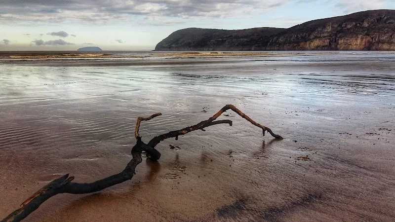
A Short walk around Somersets Brean Down
Brean Down is a 100m high promontory at the northern end of the Somerset Coast Path. This rocky outcrop protrudes some 1.5 miles out into the Bristol Channel and centred between the sandy bays of Brean and Weston Super Mare. The land is currently owned by the National Trust and provides both wildlife habitat and the remains of a Victorian fort, recommissioned in WWII, that sits at the head.
The walk is under 3 miles in total. There is a steep initial climb although this is up well maintained steps that most able bodied folk can negotiate. The effort is rewarded by the amazing views from the top with a panoramic scene stretching along the coast southwards with the distant Quantock hills making way for the tall cliffs of Devon. Northwards gives views of the extensive beaches around Weston Super Mare and to the west are the islands of Flat Holm and Steep Holm with Barry Island marking the closest point on the welsh coast beyond.
The Fort at the end of the promontory is maintained by the National Trust with information boards throughout and representatives on hand to offer guidance and information. Entrance is free and one can spend a good hour just wandering through these extensive remains.

Walk Statistics
- Start location: Brean Down Car Park
- Distance: miles ( km)
- Total Gain: ft ( metre)
- Total Descent: ft ( metre)
- Min Height: ft ( metre)
- Max Height: ft ( metre)
- Est. Walk Time:
- Walk type: Circular
- Walk Grade: moderate
- Terrain: footpath and tracks
- Obstacles: Steep but well maintained steps lead to the top of the Down after which the path is relatively easy. Return is along a track

Maps
The following maps and services can assist in navigating this route. There are links to printed maps and links to downloadable GPX route data for importing into navigational software and apps.
- Ordnance Survey Explorer Map
- OS Explorer 153 - Weston-super-Mare & Bleadon Hill
- GPX Route File
Accommodation
Unity Farm, Brean Sands, Burnham-on-SeacampsiteView in OS Map | View in Google Map
- Website
- https://unityholidays.co.uk/
- Description
- A family oriented holiday park with entertainment, static caravans as well as touring pitches
Route Validation Cards
Validation Date - 2018-09-08
- Time of Walk: 13:00 to 14:30
- Validators: Griffmonster, Kat
- Weather Conditions: clear day with some cloud cover
- Notes: Initial route undertaken
Summary of Document Changes
Last Updated: 2026-04-20
- 2021-03-17 : Update website improvements and removal of ViewRanger reliance
- 2021-12-01 : Removal of ViewRanger links due to its imminent demise
- 2026-01-12 : Major website update with all walks recast to the new format


0 comments:
Post a Comment