Route details, maps, pubs, features, local history and folklore for a wide variety of walks focusing primarily on Norfolk and Suffolk

OSmap:107 Walks
Showing posts with label OSmap:107. Show all posts

Sunday 30 December 2018

South West Coast Path - Looe to Plymouth

The Tamar Estuary

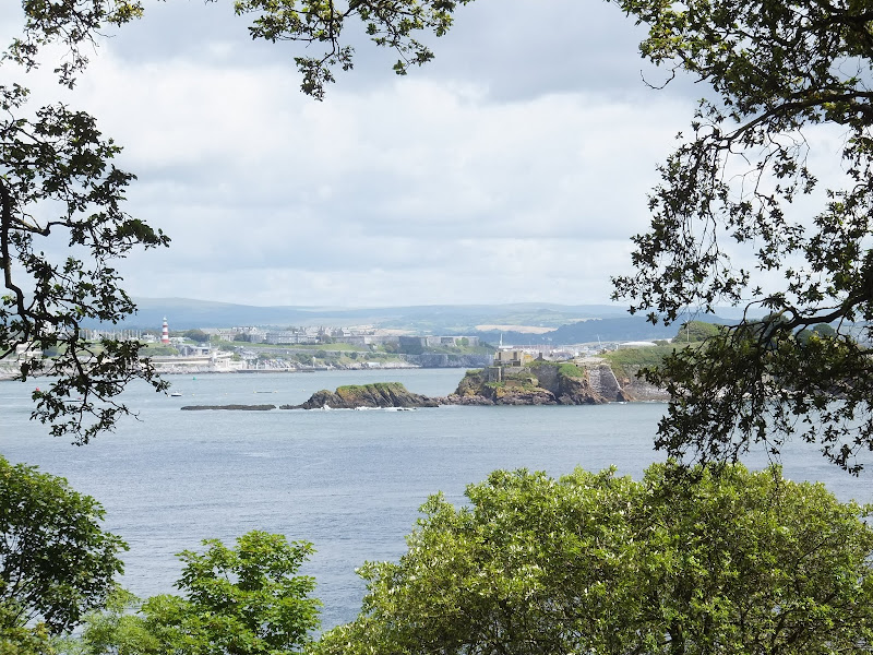
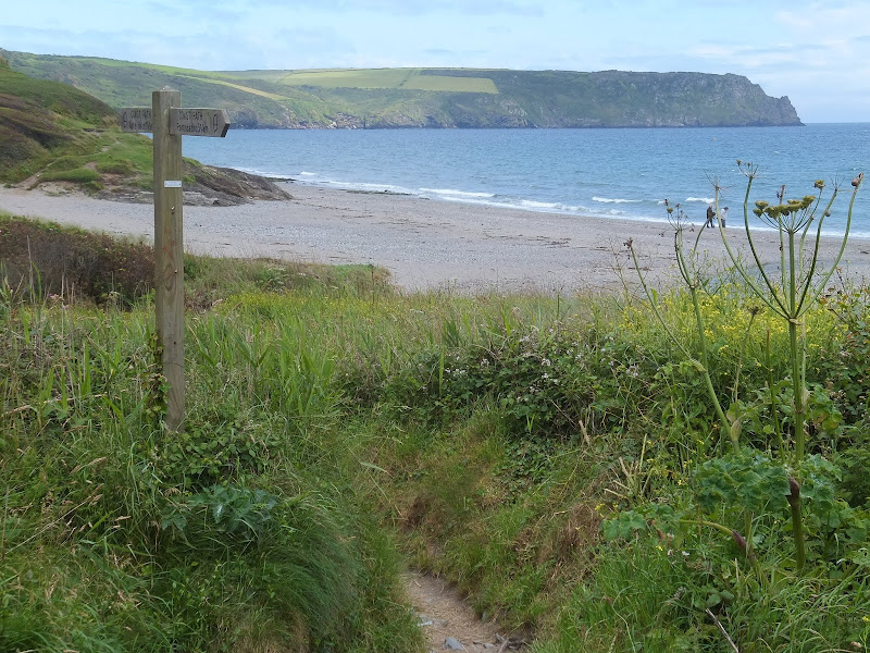
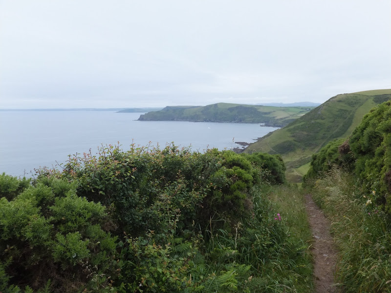
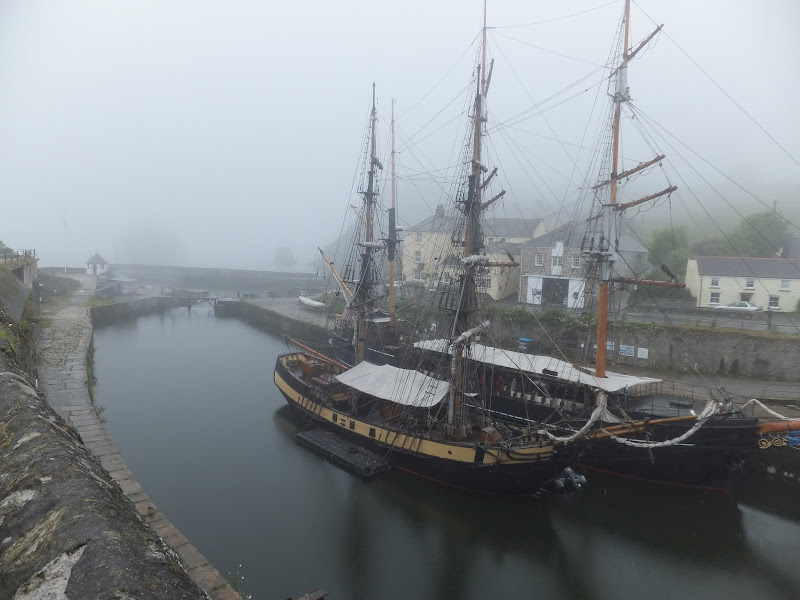
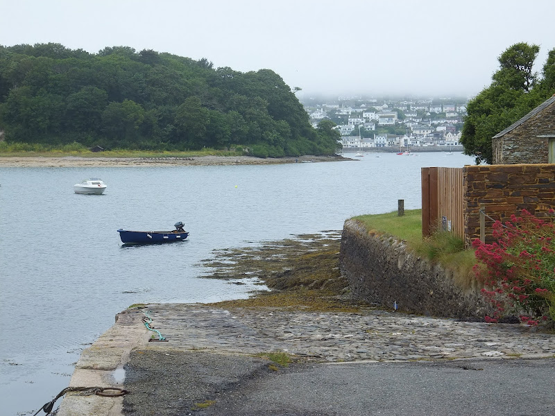
A 20.6 mile walk along the South West Coast Path between Looe and Plymouth.

This is the first section of the South Cornwall part of the South West Coast Path. There is a link between the two ends of the walk using the railways, changing at Liskeard. The walk is fairly easy in comparison with some sections of the South West Coast Path though it does have a few strenuous climbs. This particular walk misses out Rame Head in order to keep the distance down and allow connection of trains on the limited Sunday service.

Saturday 29 December 2018

South West Coast Path - Mevagissey to Porthscatho

Place ferry

A 17 mile walk along the Cornish section of the South West Coast Path between Mevagissey and Porthscatho

This walk navigates along the Roseland Peninsular with diversions from the official Coast Path along country lanes. This provides a safer alternative for when the weather conditions are poor and the paths are slippery and visibility poor. This section of coastline has some remarkable scenery when the sun does shine and the paths are not too strenuous. The drawback is the lack of public transport between the two ends of the walk.

Friday 28 December 2018

South West Coastpath - Par to Looe

Path to Polperro

A challenging 20 mile walk along the South West Coast Path between Par and Looe.

Some describe this as the most scenic of the south coast section of the Cornish South West Coast Path. There are the charming villages of Polkerris, Fowey, Polruan and Polprerro and the cliff-top path offers fantastic views along the Cornish coastline. Although the going is fairly strenuous around East Coombe, on the whole the path does not offer too much of a challenge other than in the sheer distance. Shorter walks can be planned using the bus services that connect Polruan and Polperro to Looe.

South West Coast Path - Par to Mevagissey

Charlestown

A 10 mile alternative route for the South West Coast Path between Par and Mevagissey.

With the highlights of Charlestown and Mevagissey this walk holds a lot of expectation. When the weather turns against the avid walker and the conditions along the coast path become slippery and dangerous then this route provides an alternative. Always put safety first and during times of dense fog and or heavy rain always use a sense of caution when proceeding.

Friday 21 December 2018

South West Coast Path - Roseland Peninsular Circular Walk

Place ferry

A 9 mile circular walk around Cornwall's Roseland Peninsular taking in St Anthony's Head and Portscatho.

A simple and not too strenuous walk around the tip of the Roseland Peninsular. This encompasses the section of the South West Coast Path between Portscatho and the ferry point at Place that provides a service across to Falmouth. St Anthony's Head lighthouse with its adjacent Military Battery and the village of Portscatho are the highlights of this simple circular walk.

Walk Summaries

Latest walk summaries are basic information sheets for walks that have yet to be fully documented. These provide links to maps, public transport and walks stats, although detailed notes and features are not included.

Latest Walk Summaries

Featured Walk

In Search of Sizewell Chapel

A 10 mile walk following the southern side of the parish boundary of Leiston in Suffolk This walk follows the route of a 17th century peramb...

What is GPX

All you need to know about GPX, electronic mapping and how to use modern apps and mobile devices as navigation devices

Popular Walks

Maps