Route details, maps, pubs, features, local history and folklore for a wide variety of walks focusing primarily on Norfolk and Suffolk

Walks
Showing posts sorted by relevance for query Covehithe. Sort by date Show all posts

Friday 14 December 2018

Southwold to Covehithe Circular Walk

Beach at Easton Bavents

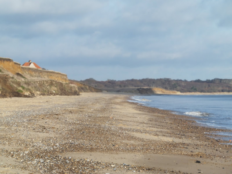
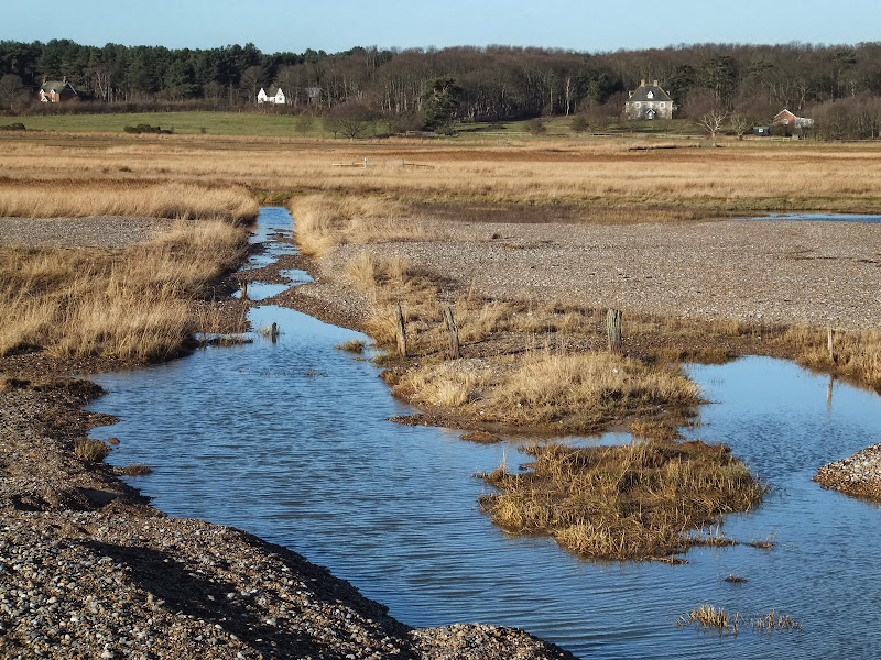
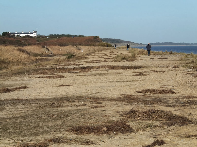
An 11 mile circular walk along the Suffolk Coast Path between Southwold and Covehithe

A walk along the beach route of the Suffolk Coast Path to the tiny hamlet of Covehithe with its impressive ruins of St Andrews church. Return is along the inland route of the Coast Path. This walk is dependant upon tides and consultation of tide times is vital in order to negotiate the beach route.

Sunday 30 December 2018

Suffolk Coast Path - Lowestoft to Southwold Inland Route

Covehithe church

A 17 mile walk using the official inland route of the Suffolk Coast Path from Lowestoft to Southwold

Due to erosion and tides the Suffolk Coast Path takes an inland diversion for the section between Lowestoft and Southwold. Although the alternative beach route can be accessed providing the tides are right, this route nonetheless has its worth especially for the picturesque section around Frostenden.

Wednesday 23 February 2022

Suffolk Coast Path - Lowestoft to Southwold Beach Route

Lowestoft to Southwold Beach Route

An exhilarating 12 mile coastal walk along the Suffolk Coast.

The Suffolk Coast Path runs between Lowestoft and Southwold but due to coastal erosion has been diverted inland which results in some road walking, including along the main A12 between Pakefield and Kessingland. An alternative route is to follow the coast as it is possible to walk the entire distance along the beach providing one times the walk to coincide with low tide. This section is worth making the effort to walk, just to view the trees that are slowly being taken by the sea at Benacre and Covehithe broads where the distance between the broad and the sea is a mere sandy section of beach.

Sunday 9 February 2020

Suffolk Coast Path

Martello Tower at Bawdsey

An overview of the Suffolk Coast Path, a 60 mile long distance path following the coast of Suffolk

A 60 mile long distance footpath from Felixstowe to Lowestoft in easy stages through some of the characteristic landscapes of the Suffolk Coast and Heaths Area of Outstanding Natural Beauty. The path also includes the Orford Loop which provides access through to Orford and the Butley Ferry. Alternative beach walks, providing the tide is right, can be undertaken throughout.

Friday 17 January 2014

The Aftermath of the 2013 Storm Surge Dunwich to Walberswick

Floods and dykes at Dingle Marsh

A 8 mile beach walk to witness the damage caused by the 2013 Storm Surge

The December 2013 Storm Surge caused widespread flooding of the marshes between Dunwich and Walberswick and along the Blyth estuary, closing the main A12 road at Blythburgh for three days. With most of the waters receded, this was the first opportunity to witness the damage caused to this vulnerable section of coastal marsh. Damage to the boardwalks and bridges have currently blocked access along the Suffolk Coast Path although the Beach Route is still accessible providing the tide is right.

Wednesday 18 December 2019

The Aftermath of the 2013 Storm Surge - Blakeney, Cley and Salthouse

Salthouse marshes

A 4 mile beach walk to witness the damage caused by the 2013 Storm Surge along the shingle bank between Cley and Salthouse

The December 2013 Storm Surge caused widespread flooding of the marshes and sea defences along the North Norfolk Coast, resulting in the closure of the Coast path between Blakeney and Cley. It is still possible to walk out to the beach from Cley village via the road where a walk along the shingle will astound those who have walked this section prior to the December storm. The shingle ridge has been levelled, with the excess cast across the marshes.

Sunday 22 December 2013

The Aftermath of the 2013 Storm Surge at Minsmere

Flattened dunes by the Northern Sea Wall to Minsmere

A 10 mile circular walk to witness the damage caused by the 2013 Storm Surge

The 2013 Storm Surge proved to be the highest tide in 60 years. Although much of the flooding had recede the evidence remained of where the waters reached. Viewing the changes in coastline shows just how vulnerable this stretch of the Suffolk coast really is, especially in view of the fact that such storms appear to be increasing in frequency. The walk returns through the heath and forest via Dunwich Heath and Eastbridge where the results of Octobers St Jude storm are evident from the many fallen trees.

Walk Summaries

Latest walk summaries are basic information sheets for walks that have yet to be fully documented. These provide links to maps, public transport and walks stats, although detailed notes and features are not included.

Latest Walk Summaries

Featured Walk

In Search of Sizewell Chapel

A 10 mile walk following the southern side of the parish boundary of Leiston in Suffolk This walk follows the route of a 17th century peramb...

What is GPX

All you need to know about GPX, electronic mapping and how to use modern apps and mobile devices as navigation devices

Popular Walks

Maps