Route details, maps, pubs, features, local history and folklore for a wide variety of walks focusing primarily on Norfolk and Suffolk

Walks
Showing posts sorted by relevance for query Glemham. Sort by date Show all posts

Thursday 3 January 2019

Tracks and lanes to Glemham

Benhall Ford

A 22 mile route that can be either walked or cycled through the Suffolk countryside around Snape, Blaxhall and Glenham

A glorious route through the Suffolk countryside using a mixture of lanes, tracks, bridleways and little used country roads. This can be either walked or cycled and provides a full days outing taking in the picturesque villages of Snape, Blaxhall, Little Glemham, Great Glemham and Benhall which these days is split into two with the A12 separating Benhall Low Street from Benhall Green. Along the route is the Parham Airfield Museum, although this is only open on Sundays between April to October.
Friday 5 April 2019

The Alde Valley Walk - Leiston to Wickham Market

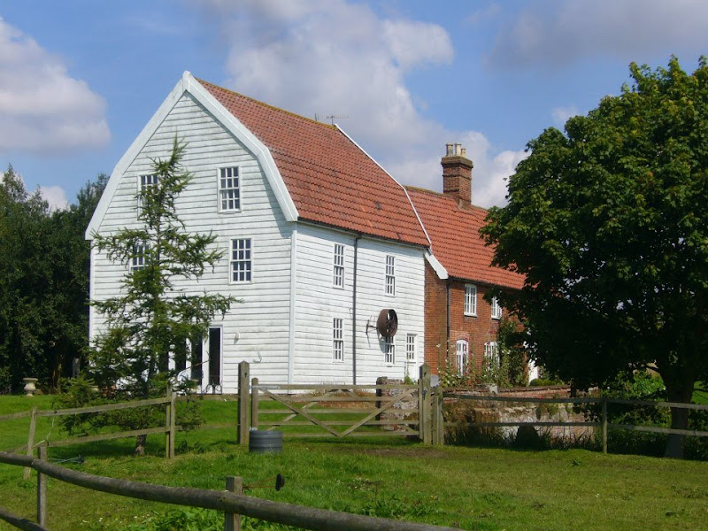
Beversham Mill

A 16 mile walk along the East Suffolk Line Path between Leiston and Wickham Market

Although the official route for the East Suffolk Line Path links the stations at Saxmundham and Campsea Ashe, this provides an alternative route using the local bus service to link the two ends. Highlights along the route include the picturesque Beversham Mill and the legendary Blaxhall Stone which is said to progressively grow in size.

Walk Summaries

Latest walk summaries are basic information sheets for walks that have yet to be fully documented. These provide links to maps, public transport and walks stats, although detailed notes and features are not included.

Latest Walk Summaries

Featured Walk

In Search of Sizewell Chapel

A 10 mile walk following the southern side of the parish boundary of Leiston in Suffolk This walk follows the route of a 17th century peramb...

What is GPX

All you need to know about GPX, electronic mapping and how to use modern apps and mobile devices as navigation devices

Popular Walks

Maps