Route details, maps, pubs, features, local history and folklore for a wide variety of walks focusing primarily on Norfolk and Suffolk

Walks
Showing posts sorted by relevance for query Hickling. Sort by date Show all posts

Friday 21 December 2018

Weavers Way - Potter Heigham to North Walsham

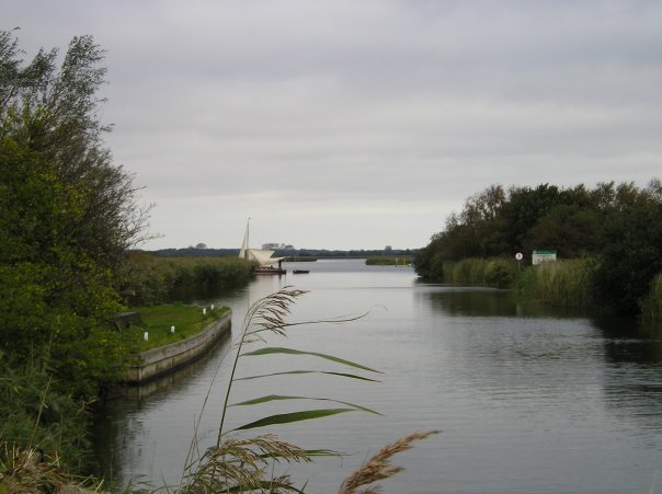
A 20 mile walk along the Weavers Way between Potter Heigham and North Walsham

The Weavers Way winds its way along the River Thurne and then up Candle Dyke to Hickling Broad. From here it cuts across country to Stalham where it picks up the old railway trackbed through to just south of North Walsham. It is a full days walk with plenty of refreshment stops en route and plenty to see and do along the way.

Tuesday 27 November 2018

The Weavers Way

Weavers Way Marker

An overview of the The Weavers Way, a 60 mile long distance footpath through Norfolk linking Cromer and Great Yarmouth.

The Weavers Way takes its name from the cottage weaving industry that established itself during Middle Ages around the North Walsham area. The path is characterised by the various sections that it passes through on route, firstly historic halls, then old railways followed by river walks before the final section across the lowland Norfolk landscape with its characteristic big skies.

Walk Summaries

Latest walk summaries are basic information sheets for walks that have yet to be fully documented. These provide links to maps, public transport and walks stats, although detailed notes and features are not included.

Latest Walk Summaries

Featured Walk

In Search of Sizewell Chapel

A 10 mile walk following the southern side of the parish boundary of Leiston in Suffolk This walk follows the route of a 17th century peramb...

What is GPX

All you need to know about GPX, electronic mapping and how to use modern apps and mobile devices as navigation devices

Popular Walks

Maps