Route details, maps, pubs, features, local history and folklore for a wide variety of walks focusing primarily on Norfolk and Suffolk

Walks
Showing posts sorted by relevance for query Norwich. Sort by date Show all posts

Saturday 29 December 2018

Norwich to Wymondham - In Search of Kett's Oak

Kett's Oak

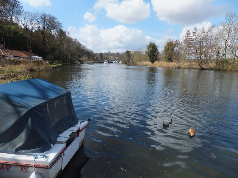
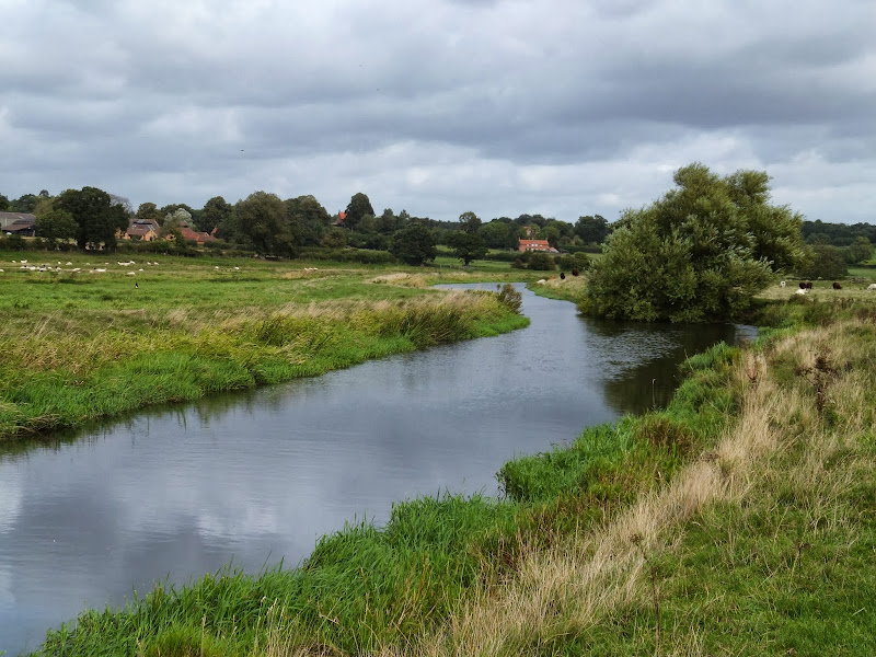
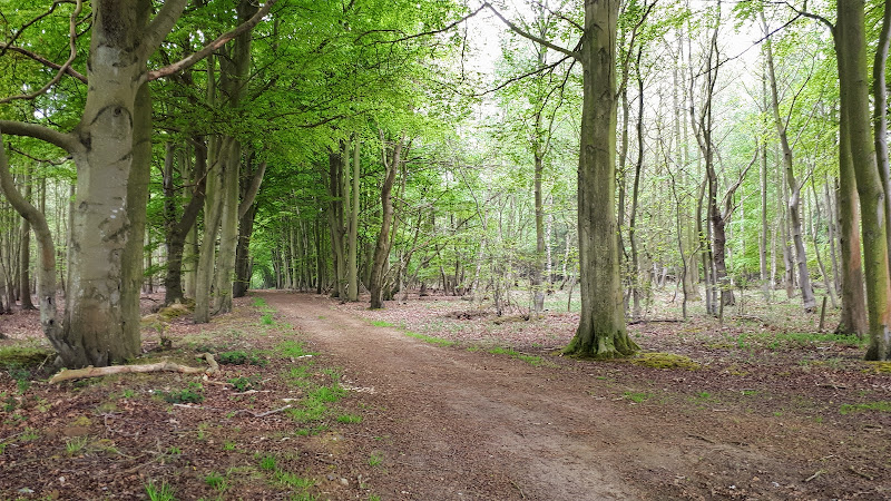
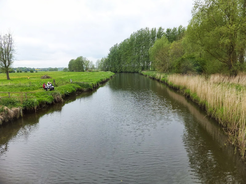
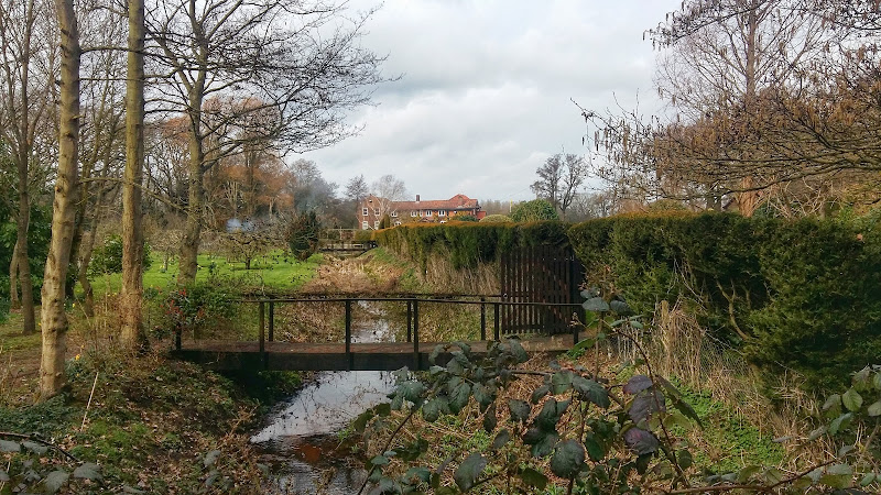
A 12 mile walk linking Norwich and Wymondham

Kett's Oak is a tree that folklore states was the meeting place for what was to become Kett's Rebellion in the year of 1549. The ageing tree still stands forlorn by the roadside, passed by 1000's of motorists each day, no doubt most of whom are oblivious to this piece of roadside history. This walk seeks to pay homage to Robert Kett by returning to his tree, and researching into the whys and wherefores of the infamous rebellion which followed.

Saturday 28 April 2018

Norwich Riverside Walk

View to Whitefriars bridge

A simple 2.5 mile walk alongside the River Wensum through Norwich.

This picturesque walk through the centre of Norwich links the Marriott's Way at Barn Road roundabout on the inner ring road with The Wherryman's Way and Boudicca Way at Norwich Railway Station. There is a lot of history to the bridges over the River Wensom and associated folklore which is detailed in the features to this walk.

Saturday 29 December 2018

Wherrymans Way - Norwich to Thurton

River Yare at Bramerton

A 12.5 mile walk along Norfolk's Wherryman's Way

This is a delightful riverside walk following the River Yare out of Norwich and through to Rockland St Mary. Public transport can link the start and end by navigating down quiet country lanes to Thurton. Whitlingham Country Park provides an easy route to start and there's refreshment stops at Woods End and the Ferry Inn at Surlingham.

Wednesday 27 November 2019

A Hike along the Marriotts Way

Sculpture that marks the start of the Marriotts Way at Norwich

The Marriott's Way links Aylsham and Norwich following the former trackbed of the Midland and Great Northern Railway.

The Marriott's Way is a footpath, bridleway and cycle route, which follows the routes of two disused railway lines, and runs between the historic market town of Aylsham and the medieval city of Norwich. Along with the mileage markers which are created from old rails complete with a metal rubbing plaque, there are numerous concrete sculptures, village markers, interactive sound boxes and benches which all provide added interest and information along the route.

Sunday 5 January 2020

Wroxham to Norwich via Spixworth

View of the River Bure heading out of Wroxham

A 10 mile linear walk between Wroxham and Norwich

Walk linking the Bittern Railway Line stations of Wroxham and Norwich. The route cuts across to Spixworth using tracks and country lanes from where there is pedestrian access through to the centre of Norwich. Spixworth has an interesting history of folklore which is discussed in the features of this walk.

Saturday 29 December 2018

Boudicca Way - Norwich to Shotesham

Shotesham Common

A 12 mile walk roughly following Norfolk's Boudicca Way

This walk uses the Boudicca Way to navigate from Norwich to Shotesham, with an excursion away from the official route to the ruins of the Roman town Venta Icenorum. Shotesham forms the furtherest reaches of the Boudicca Way on this route, from where country lanes cuts across country to the A140 where there is a frequent bus service back into Norwich.

Tas Valley Way - Cringleford to Tasburgh

Small lake at Carleton Carrs

A 12 mile walk along Norfolk's Tas Valley Way

Probably one of the least known long distance paths in Norfolk, the Tas Valley Way links Norwich and Attleborough following the River Tas. This first section navigates through to Mulbarton, then onto Flordon before going off route to Tasburgh where there is a pub and public transport back to Norwich.

Friday 6 December 2019

The Wensum Way - Dereham to Lenwade

River Wensum near Bylaugh

A 13 mile walk through the Norfolk countryside following the Wensum Way

Opened in 2012, the Wensum Way was the connecting link between the Nar Valley Way and The Marriott's Way to enable a Cross Norfolk Trail from Kings Lynn to Great Yarmouth. The name of the trail is taken from the River Wensum which it follows from Swanton Morley through to Lenwade. This is a picturesque ramble through the Norfolk countryside.

Sunday 30 December 2018

Wherrymans Way - Loddon to Reedham

reedhamquay

An 11 mile walk from Loddon to Reedham along the Wherrymans Way, returning along the same route.

There is no public transport linking Loddon and Reedham, and few other footpaths in the area which is predominately marshland around the river Yare. Therefore this walk requires one to return along the same route. This should not detract one from walking this as it is a very pleasant ramble along the Wherrymans Way with pubs at Reedham making a veritable half way refreshment stop.

Wednesday 5 December 2018

The Wherrymans Way - Rockland to Loddon

Hardley Drainage Mill

A 15 mile walk along Norfolks Wherrymans Way

The only way one can see the sights of the River Yare is to either sail the river or walk the Wherrymans Way. Even in a boat one cannot get as good a view as the path along the heightened defence banks. This is stereotypical Norfolk in all its glory and although it is a lengthy section of walking, it is well worth the effort.

Sunday 24 January 2021

Bittern Line Walk - North Walsham to Wroxham

North Walsham woods, site of the Battle of North Walsham

An 11 mile walk linking the Bittern Line stations of North Walsham and Wroxham

A rewarding days walk through the Norfolk countryside that links the railway stations of North Walsham and Wroxham. The route passes across an historic battleground, through woodland, encountering picturesque hamlets and village churches along the way. The end section uses the Bure Valley Railway path that follows the narrow gauge steam railway past Coltishall and down to Wroxham station.

Tuesday 10 December 2019

A Circular walk to Geldeston Locks from Beccles

A 7 mile circular walk along the Angles Way from Beccles to Geldeston Locks

A recommended short walk along the Angles Way to the outstanding Geldeston Locks pub, returning via the riverside path to Beccles. This walk passes the location of the historic Barsham Hall, source of the ghostly legend of Old Blunderhazard who is said to ride in his coach drawn by four fire breathing headless horses to Norwich and back each Christmas Eve.

Sunday 23 October 2011

Completion of The Woodfordes Ale Trail 2011

The Woodfordes Ale Trail ended on 30th September and it was time to total up our stamps and collect our prizes. To recollect the rules, one has to visit Woodfordes outlets that are contained in their 2011 guide and on purchasing a pint of Woodfordes ale the publican will add an entry to the Trail Card with a unique stamp. There is only one stamp allowed for each venue and the trail only runs from June to the end of September. There is a different prize for collecting multiples of 10 stamps with the top prize being a polypin of ale for 60 stamps. In 2009 we managed to fill 2 Trail Cards and had started a third giving us a bounty of 2 polypins and a Nelsons Revenge t-shirt. This year we were not as successful due to being away from the area for a few weeks over the summer months. The end result was that we only completed half of the card. Nonetheless, this was thirty stamps collected which was rewarded with a mighty fine Woodfordes Hoody worth £25 as modelled by Kat in the photo above, an item that will most certainly keep us warm on our camping and walking expeditions

Thursday 21 March 2019

Bittern Line Walk - Cromer to North Walsham

Antingham Pounds

A 11.5 mile walk following the Bittern Line between Cromer and North Walsham

The Bittern Line provides the rail gateway to North East Norfolk from Norwich. Although there are no officially documented walks that link its stations, this walk seeks to rectify this and links Cromer and North Walsham using country lanes, footpaths and tracks. Stunning countryside, typical Norfolk villages and always something new to discover.

Wednesday 23 February 2022

The Peddars Way - Thetford to Knetishall Heath

Thetford to Knetishall Heath

A trek from Thetford to the start of the Peddars Way

Thetford is the closest town to the start to the Peddars Way and there is no public transport between Thetford Railway Station and the starting point at Knetishall Heath. Looking at the OS Map, there is no direct route other than to walk along the main A1066 Thetford to Diss road. This is a busy road with no pathway and there is a good 4 miles walking before turning off down village lanes through Rushford where a little peace and serenity is regained to set the tone for the Peddars Way.

Saturday 29 December 2018

Paston Way - North Walsham to Mundesley

Edingthorpe church

An 11 mile walk along Norfolk's Paston Way between North Walsham and Mundesley

The Paston Way is a veritable Trail around some of East Norfolk's medieval churches. This section includes the delights of North Walsham, Edingthorpe, Knapton, Paston and Bacton. Although all are impressive, it it the small church at Edingthorpe which must not be missed, a treasure to behold.

Tuesday 17 December 2019

A Walk along the Bure Valley Path

A 9 mile walk along Norfolk's Bure Valley Path between Aylsham and Wroxham

The Bure Valley Path follows the former Great Eastern Railway trackbed alongside the Bure Valley Narrow Gauge Railway. There are outstanding views of the river Bure and stops on route at Brampton, Buxton and Coltishall. Being a former trackbed gives a well drained path so the route is suitable for all weathers.

Wednesday 9 January 2019

Salthouse Sculpture Trail

Pond at Kelling Heath

A 14 mile walk around the Salthouse Sculpture Trail

Inaugurated in 2008 by The North Norfolk Exhibition Projects, this trail across Kelling and Salthouse heaths was set out to exhibit both the natural beauty of North Norfolk alongside examples of contemporary Norfolk art. Although most of the sculptures have now gone, the walk nonetheless provides a peaceful route around this part of the county.

Friday 11 January 2019

A visit to the rather curious Happisburgh

Happisburgh lighthouse

A simple 3 mile circular walk along the Norfolk Coast between Happisburgh and Eccles

Happisburgh is curious - it is slowly being taken by the sea, its houses slowly falling victim to the tides. The pub gardens boast a signal box to a railway line that never got built. A lighthouse stands guard to the south and its lifeboat is located at the next village of Eccles. In recent times the tide has uncovered prehistoric human footprints. And there is local folklore of ghostly smugglers and misdeeds. Very curious indeed.

Sunday 31 May 2015

Dads Army Weekend 2015

Dont panic Mr Mainwaring

An easy 9 mile Norfolk coastal walk to visit the Dads Army weekend hosted on the North Norfolk Railway

The third episode of the sixth series of the popular British comedy series Dad's Army was titled 'The Royal Train' in which King George VI was due to pass through Walmington-on-Sea and the platoon were to form a guard of honour. The location chosen to film this episode was Weybourne station on the North Norfolk Railway and each year this is celebrated with a Dad's Army weekend where a group of enthusiasts from the Dads Army Museum in Thetford re-enact this memorable episode.

Walk Summaries

Latest walk summaries are basic information sheets for walks that have yet to be fully documented. These provide links to maps, public transport and walks stats, although detailed notes and features are not included.

Latest Walk Summaries

Featured Walk

In Search of Sizewell Chapel

A 10 mile walk following the southern side of the parish boundary of Leiston in Suffolk This walk follows the route of a 17th century peramb...

What is GPX

All you need to know about GPX, electronic mapping and how to use modern apps and mobile devices as navigation devices

Popular Walks

Maps