Route details, maps, pubs, features, local history and folklore for a wide variety of walks focusing primarily on Norfolk and Suffolk

Walks
Showing posts sorted by relevance for query Tasburgh. Sort by date Show all posts

Saturday 29 December 2018

Tas Valley Way - Cringleford to Tasburgh

Small lake at Carleton Carrs

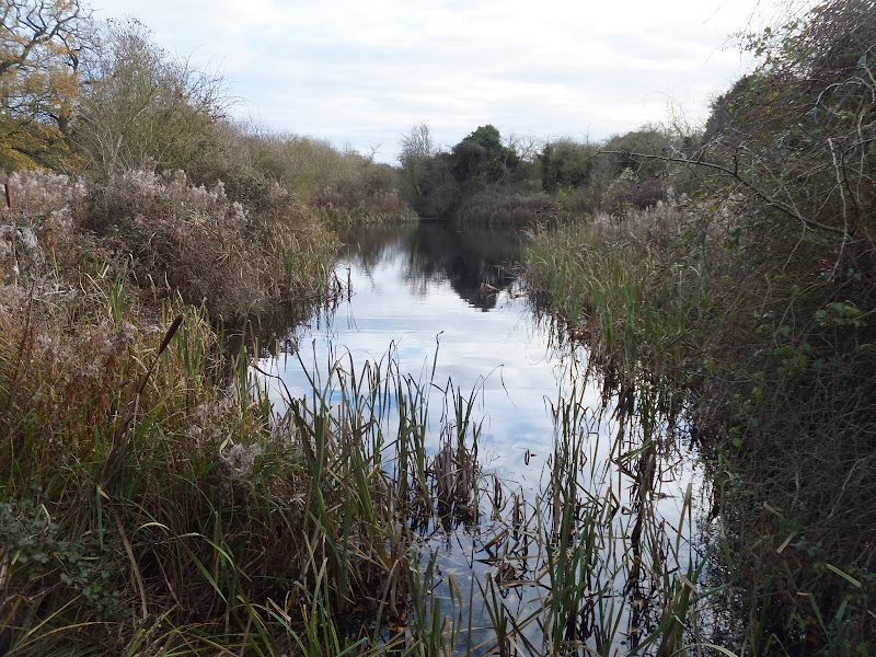
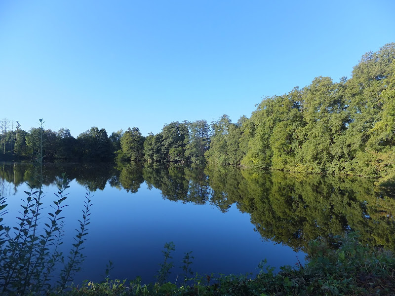
A 12 mile walk along Norfolk's Tas Valley Way

Probably one of the least known long distance paths in Norfolk, the Tas Valley Way links Norwich and Attleborough following the River Tas. This first section navigates through to Mulbarton, then onto Flordon before going off route to Tasburgh where there is a pub and public transport back to Norwich.

Boudicca Way - Norwich to Shotesham

Shotesham Common

A 12 mile walk roughly following Norfolk's Boudicca Way

This walk uses the Boudicca Way to navigate from Norwich to Shotesham, with an excursion away from the official route to the ruins of the Roman town Venta Icenorum. Shotesham forms the furtherest reaches of the Boudicca Way on this route, from where country lanes cuts across country to the A140 where there is a frequent bus service back into Norwich.

Sunday 23 February 2020

The Angles Way - Wortwell to Earsham

Lakes at wortwell

An 8.75 mile walk along the Angles Way from Wortwell to Earsham

It is not often that a country ramble coincides with a Brewery visit. On this route there are two, the historic St Peters brewery and the Waveney Brewing Company based at the Queens Head pub in Earsham. Although St Peters is a little off route a visit to this exquisite old building is thoroughly recommended. Also just off route is the village of Flixton where there is the remains of Flixton Priory and a church with a unique tower plus the setting for a spooky story.

Walk Summaries

Latest walk summaries are basic information sheets for walks that have yet to be fully documented. These provide links to maps, public transport and walks stats, although detailed notes and features are not included.

Latest Walk Summaries

Featured Walk

In Search of Sizewell Chapel

A 10 mile walk following the southern side of the parish boundary of Leiston in Suffolk This walk follows the route of a 17th century peramb...

What is GPX

All you need to know about GPX, electronic mapping and how to use modern apps and mobile devices as navigation devices

Popular Walks

Maps