Route details, maps, pubs, features, local history and folklore for a wide variety of walks focusing primarily on Norfolk and Suffolk

Walks
Showing posts sorted by relevance for query North Walsham. Sort by date Show all posts

Saturday 29 December 2018

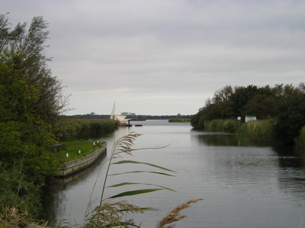
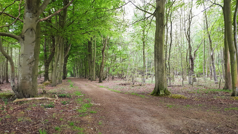
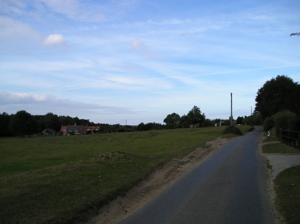
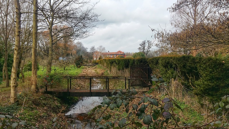
Paston Way - North Walsham to Mundesley

Edingthorpe church

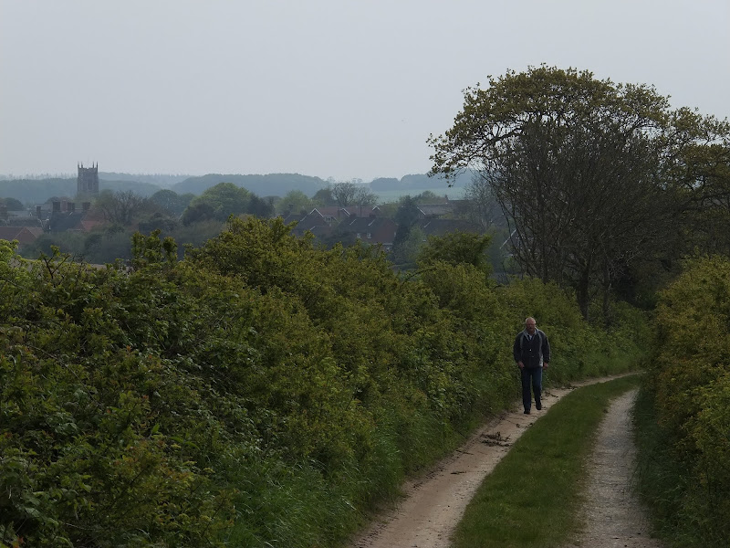
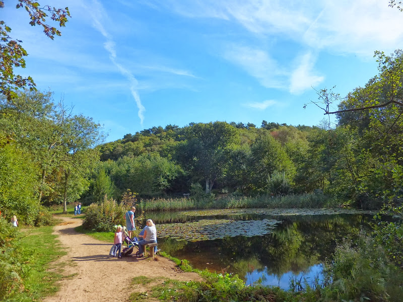
An 11 mile walk along Norfolk's Paston Way between North Walsham and Mundesley

The Paston Way is a veritable Trail around some of East Norfolk's medieval churches. This section includes the delights of North Walsham, Edingthorpe, Knapton, Paston and Bacton. Although all are impressive, it it the small church at Edingthorpe which must not be missed, a treasure to behold.

Tuesday 27 November 2018

The Weavers Way

Weavers Way Marker

An overview of the The Weavers Way, a 60 mile long distance footpath through Norfolk linking Cromer and Great Yarmouth.

The Weavers Way takes its name from the cottage weaving industry that established itself during Middle Ages around the North Walsham area. The path is characterised by the various sections that it passes through on route, firstly historic halls, then old railways followed by river walks before the final section across the lowland Norfolk landscape with its characteristic big skies.

Friday 21 December 2018

Weavers Way - Potter Heigham to North Walsham

A 20 mile walk along the Weavers Way between Potter Heigham and North Walsham

The Weavers Way winds its way along the River Thurne and then up Candle Dyke to Hickling Broad. From here it cuts across country to Stalham where it picks up the old railway trackbed through to just south of North Walsham. It is a full days walk with plenty of refreshment stops en route and plenty to see and do along the way.

Sunday 24 January 2021

Bittern Line Walk - North Walsham to Wroxham

North Walsham woods, site of the Battle of North Walsham

An 11 mile walk linking the Bittern Line stations of North Walsham and Wroxham

A rewarding days walk through the Norfolk countryside that links the railway stations of North Walsham and Wroxham. The route passes across an historic battleground, through woodland, encountering picturesque hamlets and village churches along the way. The end section uses the Bure Valley Railway path that follows the narrow gauge steam railway past Coltishall and down to Wroxham station.

Saturday 29 December 2018

Weavers Way - North Walsham to Cromer

Hanworth Common late on an autumn afternoon urging us to keep up the pace to get to Cromer before the light fades

A 23 mile walk along the Weavers Way from North Walsham to Cromer

Starting along the old M&GN railway trackbed to Aylsham, the path soon heads off across country passing by the Halls at Blickling, Felbrigg and Cromer as well winding its way through the picturesque villages of Aldborough, Hanworth and Sustead. A fascinating view of Norfolk's countryside.

Tuesday 10 December 2019

North Walsham to Bacton Woods Circular Walk

wonky telegraph poles near Ebridge Mill pond

A 7 mile circular walk connecting the Norfolk town of North Walsham with Bacton Woods

The Norfolk countryside holds a lot of hidden gems and this walk discovers a few. The route uses country lanes and footpaths to provide an easy circular ramble. The woods are worth the effort and hold a hidden secret of the location of a gibbet on which, during the late 18th century, William Suffolk's body was hanged in chains for his murderous deeds. The return route passes the iconic Ebridge Mill and then leads onto the Weavers Way for the final section back to North Walsham

Monday 28 February 2022

Bittern Line Walk - North Walsham to Worstead

North Walsham to Worstead

A walk liing the Bittern Line stations of NorthWalsham and Worstead

This route follows the Dilham Canal to make a pleasurable walk between the stations of North Walsham and Worstead.

Thursday 21 March 2019

Bittern Line Walk - Cromer to North Walsham

Antingham Pounds

A 11.5 mile walk following the Bittern Line between Cromer and North Walsham

The Bittern Line provides the rail gateway to North East Norfolk from Norwich. Although there are no officially documented walks that link its stations, this walk seeks to rectify this and links Cromer and North Walsham using country lanes, footpaths and tracks. Stunning countryside, typical Norfolk villages and always something new to discover.

Saturday 4 August 2018

Weavers Way - Stalham to Aylsham Walk Summary

Salt marsh

A walk along the dismantled M&GN railway from Stalham to Aylsham

This walk is the Railway section of the Weavers Way, a 60 mile long distance trail through the eastern side of Norfolk. This section follows the former M&GN railway trackbed from Stalham to Aylsham and there is plenty of evidence of the former railway with the stations of Honing and Felmingham still retaining their platforms and some structures and many typical railway style bridges throughout the trail.

Originally named as the Great Yarmouth and Stalham Light Railway when the first section was constructed in 1876, it changed its name to the Yarmouth and North Norfolk Light Railway with the extension to North Walsham in 1878. In 1881, in conjunction with the Lynn and Fakenham Railway a link between Melton Constable and North Walsham via Aylsham was added together with the light railway being converted to a full standard gauge line.

The 20th century saw this railway amalgamated into the Midland and Great Northern Railway, before combining into the LNER grouping. Post war saw its merger into the nationalised British Rail.

The line lasted until 1959 when it was deemed to be loss making and, along with many of Norfolk's railways, it closed down for good. The former railway line has now become part of the Weavers Way long distance trail as well as a designated county wildlife site and the cutting close to Felmingham has become a butterfly nature reserve.

The former railway has to be left at North Walsham where the modern road uses its route through the town. This provides a half way point of this walk and enables the hiker to peruse North Walsham as well as provide plenty of places to rest and refresh oneself before continuing onto Aylsham. The Hop Inn is always a recommended place to visit for those who like their ale. This micro pub serves six ever changing ales along with simple snacks and is always a hub of activity with conversation being the main entertainment of its customers.

There is no direct public transport link between the two ends of this walk and one requires to either use Cromer or Norwich as a link. In this instance Sanders Buses offers the number 6 service from Cromer to Stalham and to return there is the 44 servcie from Aylsham to Cromer.

Saturday 17 July 2010

The Paston Way


The Paston Way is a 20 miles Norfolk footpath linking North Walsham and Cromer. The path takes its name from the Paston Family who, during the Medieval and Tudor periods, were the dominant and wealthy landowners in which much of the trail passes. The Paston Family in turn had taken their name after the north eastern coastal village of Paston. The route can be walked within a day and there is ample public transport connecting start and end of the route. The first time I walked this route I was so impressed that I walked it again the next year. It encompasses both coutryside and seaside and Cromer is a fitting end to the walk with plenty of refreshment houses to recuperate in.

Saturday 1 May 2021

The Original Paston Way Route

Norfolk countryside

Walking the original route to Norfolk's Paston Way

The Paston Way is a long distance trail around north east Norfolk that takes its names from the eminent Paston family who lived in the area during the 15th century, originating from the village of Paston. Although the route of the trail has been altered in more recent years in order to incorporate additional villages and churches in the area, originally it was a sub-20 mile trail with branches to outlying villages and churches. The original route can still be accessed and is a great way to spend a days walking between Norfolk's North Walsham and Cromer.

Wednesday 27 April 2022

Dilham and Honing Circular Walk

Dilham and Honing Circular Walk

A circular walk taking in the Weavers Way, Honing and Dilham

This walk explores a part of the Weavers Way long distance trail, taking in the restored Honing station before departing to follow the Dilham canal around to the village of Dilham where the Cross Keys pub provides a worthy place to take a break.

Thursday 10 January 2019

Happisburgh to Winterton Beach Walk

Happisburgh from Eccles

An 11 mile beach walk between along the Norfolk coast from Happisburgh to Winterton

Providing the tide is right, this is a fantastic beach walk with miles of golden sand and, if you are lucky, the sight of seals basking in the sunshine. Probably one of the best beach walks on this coastline.

Thursday 19 December 2019

Cromer to Mundesley Beach Walk

Cromer

A beach walk along the Norfolk Coast between Mundesley and Cromer including a clifftop stroll from Cromer to Overstrand.

This section of the Norfolk Coast can only be walked when the tide allows as high tide reaches the foot of the cliffs and is impassable at Overstrand. There is frequent erosion all along the route so the scenery changes from year to year. The beach is predominantly sand with numerous groynes that present frequent obstacles to get past - sometimes decaying steps assist getting over the groynes and sometimes, at low tide or with boots and socks off, it is possible to get around the end of some of the groynes. Mostly, it involves clambering as best as you can over these eroded, seaweed covered, mussel encrusted defences but that is half the fun of it! Although there is a cliff top path from Cromer to Overstrand, which has some outstanding views, beyond this there is no official right of way and a full circular walk would involve heading inland, using the Paston Way. However, a frequent bus service links Overstrand and Mundesley to make a good and easy days coast walking.

Wednesday 7 September 2011

Ale Trail - Mundesley to Cromer

Cromer

A beach walk along the Norfolk Coast between Mundesley and Cromer including a clifftop stroll from Cromer to Overstrand.

This section of the Norfolk Coast can only be walked when the tide allows as high tide reaches the foot of the cliffs and is impassable at Overstrand. There is frequent erosion all along the route so the scenery changes from year to year. The beach is predominantly sand with numerous groynes that present frequent obstacles to get past - sometimes decaying steps assist getting over the groynes and sometimes, at low tide or with boots and socks off, it is possible to get around the end of some of the groynes. Mostly, it involves clambering as best as you can over these eroded, seaweed covered, mussel encrusted defences but that is half the fun of it! Although there is a cliff top path from Cromer to Overstrand, which has some outstanding views, beyond this there is no official right of way and a full circular walk would involve heading inland, using the Paston Way. However, a frequent bus service links Overstrand and Mundesley to make a good and easy days coast walking.

Wednesday 18 December 2019

Paston Way to Gunton - Pubs, Churches and Wartime Conspiracies

Northrepps from the lane to Overstrand

A 7 mile walk along Norfolk's Paston Way from Cromer to Gunton.

The Paston Way has a few alternative paths that stray from its main route between North Walsham and Cromer, and this walk takes the optional route out to Gunton from where a train can be taken back to Cromer. There are some worthy country pubs along this simple walk so a good old English pub crawl can also be had along with taking in the sights of the impressive churches at Northrepps and Southrepps plus local tales of wartime German conspiracies!

Wednesday 9 January 2019

Salthouse Sculpture Trail

Pond at Kelling Heath

A 14 mile walk around the Salthouse Sculpture Trail

Inaugurated in 2008 by The North Norfolk Exhibition Projects, this trail across Kelling and Salthouse heaths was set out to exhibit both the natural beauty of North Norfolk alongside examples of contemporary Norfolk art. Although most of the sculptures have now gone, the walk nonetheless provides a peaceful route around this part of the county.

Tuesday 29 July 2014

Norfolk Coast Path Extension

Coastline from Mundesley to Happisburgh

A 21 mile extension has recently been completed to the Norfolk Coast Path taking it through to Sea Palling

As part of the English Coast Path project, the Norfolk Coast path has now been extended to Sea Palling with waymarkers and direction signs being added during the first half of July. This includes a redirected section between Beeston and Cromer that now follows the coast rather than its original route which headed inland through the hills above Cromer.

Friday 18 July 2014

2014 NNR Beer Festival Beer List and Tasting Notes

The 13th North Norfolk Railway Beer Festival

The 13th North Norfolk Railway Beer Festival

The 13th North Norfolk Railway Beer Festival Tasting Notes

A listing of all the ales on offer, along with tasting notes, for the 13th North Norfolk Railway Beer Festival. Excellent selection from across the UK. Music from the King Size Papas, Mista Splinta and Ugly Dog Skiffle Combo. Hog Roast. Steam trains. Some great walks around the area. What else could anyone want.

Tuesday 4 December 2018

Paston Way - Trimingham to Cromer

St Botolphs church, Trunch

A 13 mile walk along Norfolk's Paston Way from Trimingham to Cromer.

This is a customised walk linking sections of the Paston Way to provide a route passing the churches of Trimingham, Trunch, Bradfield and Southrepps as well as the local village pubs which are obligingly open all day on a Sunday. The final section from Northrepps offers an alternative wander past Sally Beans Cottage, renowned for being the lookout from the old Smuggling days of the 17th century, into Cromer.

Walk Summaries

Latest walk summaries are basic information sheets for walks that have yet to be fully documented. These provide links to maps, public transport and walks stats, although detailed notes and features are not included.

Latest Walk Summaries

Featured Walk

In Search of Sizewell Chapel

A 10 mile walk following the southern side of the parish boundary of Leiston in Suffolk This walk follows the route of a 17th century peramb...

What is GPX

All you need to know about GPX, electronic mapping and how to use modern apps and mobile devices as navigation devices

Popular Walks

Maps