Route details, maps, pubs, features, local history and folklore for a wide variety of walks focusing primarily on Norfolk and Suffolk

Walks
Showing posts sorted by relevance for query Woodbridge. Sort by date Show all posts

Thursday 20 December 2018

The Sandlings Walk - Martlesham to Rushmere Heath

Martlesham Heath Control Tower Museum

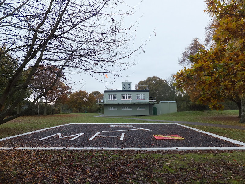
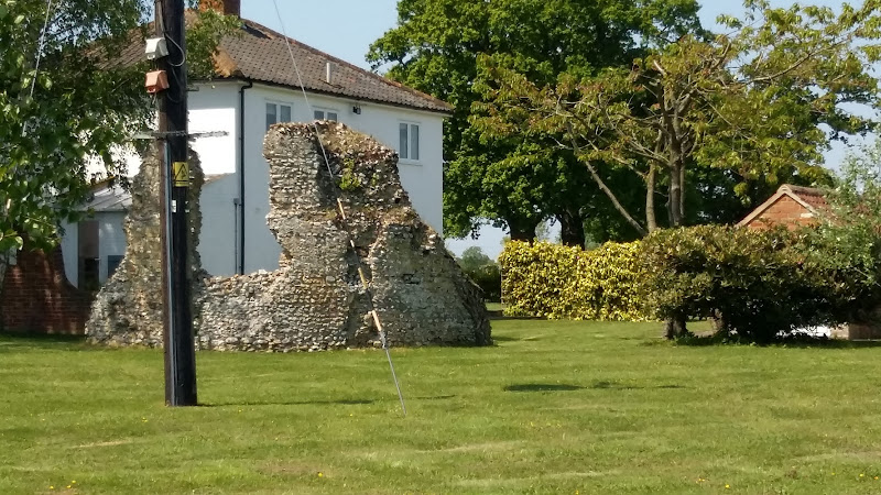
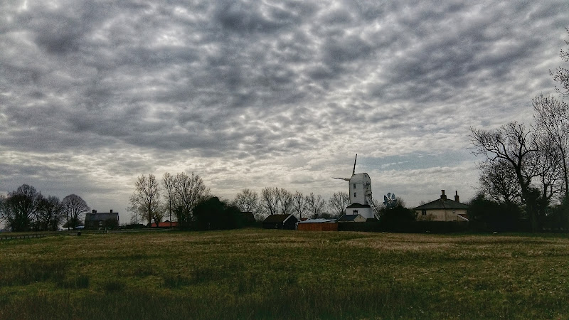
A 4.5 mile walk across heathland from Martlesham to Rushmere Heath on the eastern fringes of Ipswich

Like most modern towns, Ipswich is suffering from a seemingly endless amount of urban sprawl that envelops the traditional villages that once surrounded it. However, this walk follows heathland that is hidden behind the housing estates all the way from Martlesham through to Rushmere Heath and Ipswich Hospital

Wednesday 21 November 2018

Fynn Valley Circular Walk

A 16 mile walk along the Suffolk Fynn Valley between Woodbridge and Witnesham, with a return route via Grundisburgh and Hasketon.

The Fynn Valley Walk is an official waymarked route following the course of the River Fynn from Witnesham to Martlesham then continuing through to Woodbridge along the banks of the River Deben. For this walk, the Fynn Valley route is walked in reverse then public footpaths are used across the fields to Grundisburgh and Hasketon and back down into Woodbridge to make a circular walk.

Monday 17 December 2018

The Sandlings Walk

The Sandlings Waymarker

An overview of the Sandlings Walk, a 55 mile long distance path through the forests and heaths of East Suffolk

The Sandlings is a 55 mile walk starting at Rushmere Heath on the eastern side of Ipswich with Southwold, passing through the remaining fragments of East Suffolks Sandling Heaths. The trail leads through Rendlesham, Tunstall and Dunwich forests and also includes riverside walks at Woodbridge and heathland walks across Rushmere Heath, Sutton Heath, Thorpeness Common and Dunwich Heath..

Wednesday 21 November 2018

Deben Valley Walk from Wickham Market to Woodbridge

An 8 mile walk along the Deben Valley in Suffolk from Wickham Market to Woodbridge

This walk follows the route of the East Suffolk Line Walks along the Deben Valley. An easy and simple walk with the highlight of the village of Ufford which boasts its very own microbrewery and ancient church. The walk ends with an amble along the popular riverside path between Melton and Woodbridge.

Tuesday 17 December 2019

The Sandlings Walk - Bromeswell to Snape

Wantisden church

A 16 mile walk along the Suffolk Sandlings Path between Bromeswell and Snape taking in Rendlesham and Tunstall forests

The route leads across gorse covered heathland and through forest which typifies the modern landscape of the Sandlings. The forests are a modern development, set up with the founding of Forestry Commission during the 1920's to provide Britain with a sustainable source of timber. One cannot fail to notice the twin airbases of Woodbridge and Bentwaters, the scene of a infamous military encounter with a UFO during December 1980.

Wednesday 21 November 2018

The Fonnereau Way to Ipswich

Christchurch Park

A 12 mile walk between Woodbridge and Ipswich incorporating sections from the Fonnereau Way, the Sandlings and the Fynn Valley Way

This walk links the railway stations of Woodbridge, Westerfield and Ipswich with scenic views along the estuary at Woodbridge and the Fynn Valley before entering Ipswich from the west through the historic parkland known as Christchurch park which dates from the 12th century which includes many historic features and a mansion that is open to the public.

Tuesday 17 December 2019

Bromeswell Village Walk

St Edmunds church

A very easy 2 mile walk around the Suffolk Village of Bromeswell

The Sandlings Path avoids the busy road between Melton and the footpath across the Heathland to Rendlesham Forest by navigating around the quiet village of Bromeswell. Although only a short distance, it is worth taking ones time to explore this quiet village with its typically East Anglian church of St Edmund.

Saturday 26 January 2019

An Extended Walk around the Rendlesham UFO Trail

A 12 mile circular walk starting at Eyke and incorporating the UFO Trail in Suffolk's Rendlesham Forest

The Rendlesham UFO trail is a waymarked 3 mile trail around the eastern end of Rendlesham Forest that navigates around the key areas that were involved in the Rendlesham Forest Incident of 1980 in which both civilian and military personnel witnessed unexplained craft land within the forest. Although this can be walked by parking up at the visitor car-park in the forest, a longer alternative is to take the footpaths from Eyke, and make a day of this most wonderful and intriguing part of Suffolk.

Sunday 26 August 2018

Sandlings Walk - Rushmere to Melton Walk Summary

Salt marsh

The Suffolk Sandlings path between Rushmere, on the eastern side of Ipswich, and Melton

The Sandlings is a long distance path linking Ipswich and Southwold through the Suffolk Coast and Heaths Area of Outstanding Natural Beauty.

A starting point is provided at Rushmere Heath, close to Ipswich Hospital and takes a rural route out behind Kesgrave and through to Martlesham. The trail then heads down to Martlesham Creek, a sizeable creek off of the River Deben that creek was said to be used in 18th century smuggling days as a discreet place to offload contraband. A riverside path then provides access all the way through to Melton. This is the highlight of the walk, a true delight to wander no matter what time of the year.

Although there are no specific pubs along the route, a short diversion gives access to The Black Tiles at roughly the half way point. There is public transport linking the two ends with 800 First Group bus service departing from outside Melton railway station. The 64 service follows a similar route and departs from The Street in Melton. There is no Sunday service.

Features along the route include an anonymous grave on Martlesham Heath known as Dobbs' Grave, reputedly the resting place of a shepherd boy named Dobbs who committed suicide. The area is purported to be haunted some saying it to be the ghost of Brainy Dobbs, an airman from Martlesham Heath airfield.

Martlesham Heath Control Tower Museum is located a little further along and pays homage to RAF Martlesham Heath, which contributed to the development of aviation as well as being a key airfield during two world wars. Open on Sundays from Easter to October.

The impressive renovated Tide Mill sits on the banks of the Deben at Woodbridge and is a worthwhile attraction to take time out and visit. The mill, over 800 years old, is said to be the oldest in the country.

Sunday 25 April 2010

The Sandlings Walk - Ipswich to Melton

boat on Deben estuary

The start of the Sandlings can be found in several points in Ipswich but we chose Rushmere Heath opposite Ipswich hospital. One thing about Ipswich is that it always reminds you that it is there despite the peacefulness of the Heath. There is constant background noise of sirens, traffic, distant motorbikes.Once past Martlesham you are then in the serenity of the countryside with all the delights of the river Deben and Martlesham Creek.

NOTE - this walk page has been superseded by a Walk summary located at Rushmere to Melton Walk Summary
 

Monday 21 January 2019

An Amble up the Deben Estuary

Felixstowe Ferry

A 13 mile walk along the River Deben in Suffolk, starting at Felixstowe and ending in Martlesham

The lovely walk along the Deben estuary. Although parts are inaccessible due to breaches of the flood banks, the mix of riverside paths, country lanes and footpaths provides an ideal mix of landscapes to keep any walker fascinated. The May bush pub offers a perfect place to take a rest and refreshment, its riverside location unbeatable.

Thursday 6 January 2022

Dunwich to Walberswick

Aldborough

A 13 mile Suffolk circular walk connecting Dunwich and Walberswick

This walk encapsulates coast, forest and marsh presenting a myriad of landscapes. Making use of both the Sandlings and Suffolk Coast Path, it is a simple and easily navigated wander to fill a days exploration

Sunday 29 July 2018

Leiston to Hazlewood Circular Walk Summary

Salt marsh

A somewhat challenging circular walk to Suffolks ancient parish of Hazlewood

Hazlewood was an ancient parish that bordered the River Alde in the Plomsgate Hundred of Suffolk. In 1934 it was annexed with the neighbouring parishes of Friston and Aldeburgh although names in the landscape still bear testament to its existence, including Hazlewood Common, the ultimate destination of this walk.

This is a challenging walk in respect of 20 yards of jungle to navigate through in order to get to The Grange farmhouse. Navigation of this neglected footpath does involve crawling on all fours as well as climbing across fallen trees. Not a walk for the feint hearted.

This challenge borders a field which was part of a WWI airfield that was in operation between October 1915 and September 1919. Known locally as Hazlewood Aerodrome, this grass airstrip was one of several support sites for RNAS Great Yarmouth and served as a night landing ground. It was also used by aircraft responding to Zeppelin raids. Little remains of the site as all support buildings have now either been demolished or collapsed although there is reputedly some concrete footings that can still be seen.

Other features on this route are the ancient Great Wood and some post medieval quarries. Return is across Aldringham Common where the former Aldringham Providence Baptist Chapel can be seen. Built in 1812, this chapel hidden away on the common was replaced in 1915 with a design by the Suffolk architect, poet and artist, Cecil Howard Lay. It has since been converted into a private residence.

Tuesday 19 November 2019

Sweffling Circular Walk 2

Salt marsh

Short circular walk through the Suffolk countryside around the village of Sweffling

The second circular walk that starts and ends at the Sweffling White Horse pub. This leads the rambler across river valley, woodland and some amazing Suffolk countryside. This is a perfect way to spend a Sunday morning, ending up with a pint and some lunch at the pub which really is a traditional old local with a tap room full of local ales.

Sunday 29 July 2018

Sweffling Circular Walk Summary

Salt marsh

Short circular walk through the Suffolk countryside around the village of Sweffling

A walk around some outstanding Suffolk countryside following the Alde valley south of Sweffling, starting and ending at the Sweffling White Horse pub. There is history too! As well as the many windmills that once sat on the ridge above the valley, the area also boasts a connection with the legends of St Edmund. A tale related by a 14th century manuscript tells of how Edmund defeated his enemies at a place known as Dernford. Although there is no evidence of exactly where this was, some attest that the site was south of Sweffling where Dernford Hall is located.

If you view the Sweffling village sign, on the upright is a heart pierced by a sword, which I am told is the representation of Edmunds victory in the battle.

Tuesday 8 February 2022

Suffolk Coast Path Challenge Walk Part 2

Suffolk Coast Path Challenge Walk Part 2

A 2 day challenge walk to complete the Suffolk Coast Path

The second day of a 2 day challenge walk to walk the Suffolk Coast from Languard Fort to the county boundary at Hopton. This second starts at Sizewell and continues through to Hopton

Thursday 9 August 2018

Leiston to Reckford Circular Walk Summary

Salt marsh

A circular walk encapsulating Leiston Airfield, Theberton woods and the Minsmere River

Few may have heard of Reckford and indeed as a location it is pretty much lost in the landscape. There is a Reckford Road in the neighbouring village and there is a 16th century Reckford Farmhouse and there is the Reckford Bridge but to all intents and purposes the community of Reckford is not recognised, just a small area of the village of Middleton. Whether the area was ever judged to be a village is unknown. Nonetheless we will make it the destination of this circular walk.

The walk has much to feast ones eyes upon. The former WWII Leiston airbase commonly known as RAF Leiston hosted the USAF 357th Fighter Group who were locally known as the Yoxford Boys. Little is left although there is a memorial that pays homage to the US crews that flew out of this airfield and never returned. There are some hidden remnants in the landscape, a broken up runway that crosses the farmland, old buildings that have camoflaged themselves in the undergrowth and now either lie redundant of have been put to use as farm buildings.

The walk continues onto the broadleaved woodland known as Theberton Woods before navigating down the quiet country lanes and tracks to Reckford.

Return is along the banks of the Minsmere river to Eastbridge then back to Leiston via the Abbey ruins.

Thursday 17 March 2022

Leiston to Middleton Mill Circular Walk

Leiston to Middleton Mill Circular Walk

A walk across the coastal Suffolk countryside to the village of Middleton

A splendid way to spend a days walking, cross fields and countryside and heading to the location of the Middleton Watermill. There are churches to stop and investigate on the way.

Friday 10 August 2018

Leiston to Buxlow Church Ruins - Walk Summary

Salt marsh

A country ramble to the lost parish of Buxlow

This walk provides a days ramble to view the ruins of Buxlow church. Many may have never heard of the parish of Buxlow, even those local to the area, and they can be forgiven for their ignorance since the parish was consolidated with Knodishall on 22nd February 1721.

Little is left of Buxlow church, which was dedicated to St Peter. There is merely a remnant of a wall from the old round tower that now rests in the garden of a domestic house which is viewable from the track that runs between the two houses. There are suggestions that the church was one of those recorded for Knodishall in the Domesday book and records certainly show there was a rector of the parish from 1301 onwards. By the middle of the 17th century it was reported to be 'decayed and ruinated tyme out of mind' although a rectors of the parish were still being recorded up to 1716 when Robert Witchingham held the honour.

Whilst admiring this piece of history the lady from the adjacent house engaged us in conversation stating that there have been many archaeological finds in the fields to front of the ruins. She even remarked of the many Roman coins that were constantly being unearthed. This is certainly not recorded on the Suffolk Heritage website so this is merely word of mouth. This does spark the imagination as the nearby hamlet of East Green is one of the suggestions of the long lost Roman station of Sitomagus. Maybe there was a connection from East Green to Aldringham which local folklore states was was a Roman port, the river Hundred in those days said to be navigable to sea going ships.

Note that a similar walk is described on this site with an alterntive route. This can be found on the page titled A Walk Around the Churches of Knodishall and Friston.

Thursday 9 August 2018

Saxtead and Earl Soham Circular Walk Summary

Salt marsh

A country ramble through rural Suffolk taking in the villages of Saxtead and Earl Soham

This walk can be described as a typical Suffolk rural ramble. Quiet country lanes and accessible footpaths make this suitable for anyone.

Highlights begin almost immediately with the working Saxtead Green Post Corn Mill, preserved and maintained by English Heritage. As the route descends into Earl Soham there is the 13th century church of St Mary which is well worth visiting. The village of Earl Soham is a real piece of picture postcard Suffolk with its broad leafy main street providing an air of tranquillity. At the western end the road passes across the River Ken which is no more than a babbling brook that feeds into the River Deben.

At the edge of the village is the traditional old pub known as The Victoria. Unspoilt and unmodernised, this is a delight to visit. It once hosted a brewery, but due to demand it was moved across the road and has subsequently moved out of the village although it still supplies the pub with its traditional local ales.

Walk Summaries

Latest walk summaries are basic information sheets for walks that have yet to be fully documented. These provide links to maps, public transport and walks stats, although detailed notes and features are not included.

Latest Walk Summaries

Featured Walk

In Search of Sizewell Chapel

A 10 mile walk following the southern side of the parish boundary of Leiston in Suffolk This walk follows the route of a 17th century peramb...

What is GPX

All you need to know about GPX, electronic mapping and how to use modern apps and mobile devices as navigation devices

Popular Walks

Maps