Route details, maps, pubs, features, local history and folklore for a wide variety of walks focusing primarily on Norfolk and Suffolk

label

Distance:long Label Search

SDR - Bishop Auckland to Heighington

axle and section of rail at Brusselton

A 15 miles walk following the Weardale Way and the Stockton and Darlington Railway Trail from Bishop Auckland through to Shildon and Heighington

Using the Weardale Way, this brings the walker to the start of the Stockton and Darlington Trail of Discovery. A trail dedicated to the birth of the railways in Britain. With lots to see and explore along the way, including the locomotion museum at Shildon, this makes for a thoroughly enjoyable day out.

England Coast Path - Boston to Mablethorpe

A view from Vickers Point on the north side of Ingoldmells

The England Coast Path, Lincolnshire section between Boston and Mablethorpe

This 45 mile section of the England Coast Path between Boston and Mablethorpe along the Lincolnshire Coast. A truly flat landscape throughout the entire walk, with the first part through to Skegness along river and sea banks, and the second section through to Mablethorpe following the coastal side of the resorts interspersed with dune, beach and promenade.

England Coast Path - Aldeburgh to Southwold (Diversion in Place)

Aldeburgh boating lake with the Moot Hall in the background

The England Coast Path, Suffolk section from Aldeburgh to Southwold

This 17 mile linear walk links the towns of Aldeburgh and Southwold. This entails typical English seaside villages, clifftop paths, areas of dune and shingle. The last section is a walk through marshland between Dunwich and Walberswick before crossing the River Blyth to arrive in Southwold.

Fen Rivers Way: Kings Lynn to Downham Market

looking back at Wiggenhall St Germans

The northern most section of the Fen Rivers Way long distance path

This 12.5 mile linear walk linking Kings Lynn and Downham Market following the River Ouse. The landscape is flat with the broad unwavering river leading the way. There are churches and even a ruined church to provide interest. An easy, straightforward walk.

England Coast Path - Shotley Gate to Orwell Bridge

A walk following the Orwell Estuary along the Shotley peninsular

King Charles III England Coast Path (Suffolk) - Shotley Gate to Orwell Bridge. The route roughly follows the Stour and Orwell Walk, which itself was an extension to the Suffolk Coast Path. The route is open to the public.

The Sandlings Walk - Knodishall to Snape (Diversion in Place)

A 13 mile circular walk along the Sandlings Walk between Knodishall and Snape

With limited public transport this walk offers a circular route to incorporate the Sandlings path from Knodishall to Snape. Starting and ending at nearby Leiston it incorporates The Sailors Path and the Suffolk Coast Path to make a worthwhile day walk. The route passes Friston mill and Hall and the burial grounds where a Saxon burial ship was discovered. With pubs at Friston and Snape it provides for a great days ramble.

The Alde Valley Walk - Leiston to Wickham Market (Diversion in Place)

Beversham Mill

A 16 mile walk along the East Suffolk Line Path between Leiston and Wickham Market

Although the official route for the East Suffolk Line Path links the stations at Saxmundham and Campsea Ashe, this provides an alternative route using the local bus service to link the two ends. Highlights along the route include the picturesque Beversham Mill and the legendary Blaxhall Stone (a little off route) which is said to progressively grow in size.

South West Coast Path - Langton Matravers to Swanage

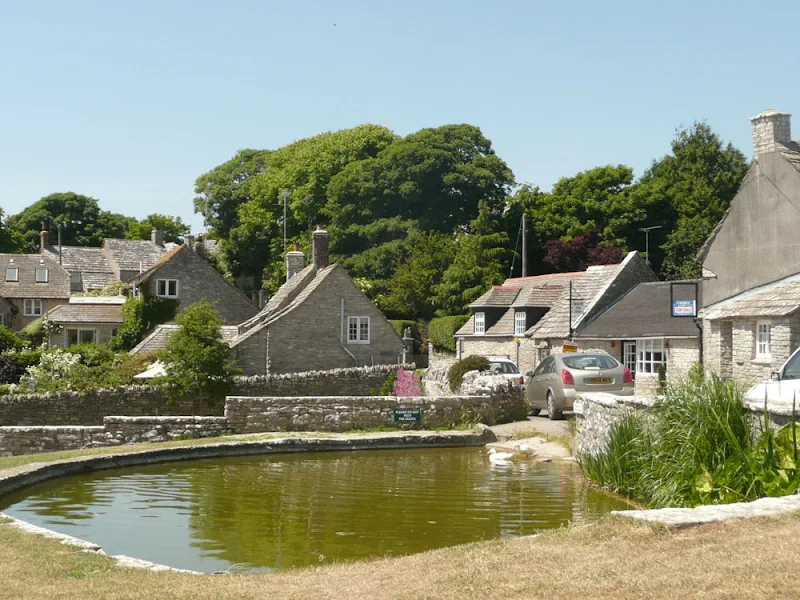
Worth Matravers

A challenging walk along the South West Coast Path between Langton Matravers to Swanage

Not quite a circular walk, with bus to connect the missing distance between Langton Matravers to Swanage. Some amzing coastline with a memorable climb to the top of St Adhelms Head.

Essex Coast Walk - Manningtree to Great Oakley

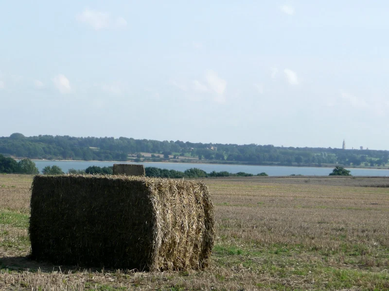
Overlooking the Stour estuary

A day walk along the Essex Way

A fine piece of walking along the Essex Way to provide some glorious views of the Stour estuary before turning inland to avoid Harwich and Dovercourt. Estuary views, marsh, woodland and open fields make for a varied scene throughout the walk.

Leiston to Middleton Mill Circular Walk

General Representative Walk Image from this walk

A walk across the coastal Suffolk countryside to the village of Middleton

A splendid way to spend a days walking, cross fields and countryside and heading to the location of the Middleton Watermill. There are churches to stop and investigate on the way.

Holt to Melton Constable Circular Walk

General Representative Walk Image from this walk

A ramble through the North Norfolk countryside

A walk using country lanes, footpaths, permissive paths and tracks to create a route between Holt and Melton Constable attempting to follow the route of the old M&GN railway line that linked the two towns.

Norfolk Coast Path - Heacham to Brancaster

General Representative Walk Image from this walk

A walk of beach, prom, dunes and marsh. A thoroughly varied landscape all told

From the cliffs of Hunstanton to the marshes of Thornham, this walk gives a variety of scenery. The Norfolk Coast Path is an excellent way to explore this part of the British Coast and what better way to start than at the westerly end. Even though Hunstanton is the official start, there is a promenade from Heacham for those wanting to go that little bit farther. There's long sandy beaches, there's multi-coloured cliffs, there's dunes, marshes, nature reserves and creeks and even a Norfolk hill from where where you can view across The Wash to Skegness on a clear day. With excellent public transport links, plenty of watering holes and accommodation, this is indeed a most thoroughly recommended walk.

The Peddars Way - Castle Acre to Heacham

General Representative Walk Image from this walk

A trek along the Peddars Way, following an excursion to Heacham for accommodation.

After three days of walking, the Peddars Way finally reaches the Norfolk coast. Heacham is not officially on the Peddars Way or the North Norfolk Coast Path, but it was the only place we could find available accommodation in the Sedgeford and Ringstead area for that particular night. It had been a tough few days walking on hard tracks and lanes which had took its toll on the feet so the prospect of gentler coastal walking gave a focus to complete this National Trail and continue on the North Norfolk Coast Path. This section of the walk with its open landscape and undulating hills allowed us to see just how straight the trail was - it could be seen stretching out into the distance for miles.

The Peddars Way - Thetford to Knettishall Heath

General Representative Walk Image from this walk

A trek from Thetford to the start of the Peddars Way

Thetford is the closest town to the start to the Peddars Way and there is no public transport between Thetford Railway Station and the starting point at Knettishall Heath. Looking at the OS Map, there is no direct route other than to walk along the main A1066 Thetford to Diss road. This is a busy road with no pathway and there is a good 4 miles walking before turning off down village lanes through Rushford where a little peace and serenity is regained to set the tone for the Peddars Way.

Suffolk Coast Path - Lowestoft to Southwold Beach Route

An exhilarating 12 mile coastal walk along the Suffolk Coast.

The Suffolk Coast Path runs between Lowestoft and Southwold but due to coastal erosion has been diverted inland which results in some road walking, including along the main A12 between Pakefield and Kessingland. An alternative route is to follow the coast as it is possible to walk the entire distance along the beach providing one times the walk to coincide with low tide. This section is worth making the effort to walk, just to view the trees that are slowly being taken by the sea at Benacre and Covehithe broads where the distance between the broad and the sea is a mere sandy section of beach.

The Essex Coast - Tollesbury to Maldon

General Representative Walk Image from this walk

The seventh and last stage of a weeks walking along the Essex Coast between Manningtree and Maldon.

Due to the limited buses between Tollesbury and Maldon we took the decision to walk this in reverse as we did not want to miss the last bus back to Tollesbury from Maldon at 4:30. Doing this would then give us more time to take in the sights along the Blackwater estuary. Although this was the last section on this occasion we returned a few years later to continue from Maldon and onto Purfleet.

The Essex Coast - Salcott to Tollesbury

General Representative Walk Image from this walk

The sixth stage of a weeks walking along the Essex Coast between Manningtree and Maldon.

Tollesbury was not an easy location to get to using public transport, therefore we drove down to the village and made two circular walks in a figure of 8, firstly up to Salcott and back, then around Tollesbury Wick marshes. Here we at last saw the sea, the first glimpse since Brightlingsea, with Mersea Island just across the estuary.

The Essex Coast - Wivenhoe to Salcott

General Representative Walk Image from this walk

The fifth stage of a weeks walking along the Essex Coast between Manningtree and Maldon.

This stage of the walk touched the outskirts of Colchester at Hythe where the first bridge across the river Colne is found. Then it was a case of following the river back down to Rowhedge. This part involved a lot of road walking as there is a military range along the banks of the Colne and the next time we would see the coast would not be until Tollesbury.

diversity_3

Popular Walks