Route details, maps, pubs, features, local history and folklore for a wide variety of walks focusing primarily on Norfolk and Suffolk

Walks
Showing posts sorted by relevance for query Beccles. Sort by date Show all posts

Friday 28 December 2018

Angles Way - Oulton Broad to Beccles

Beccles

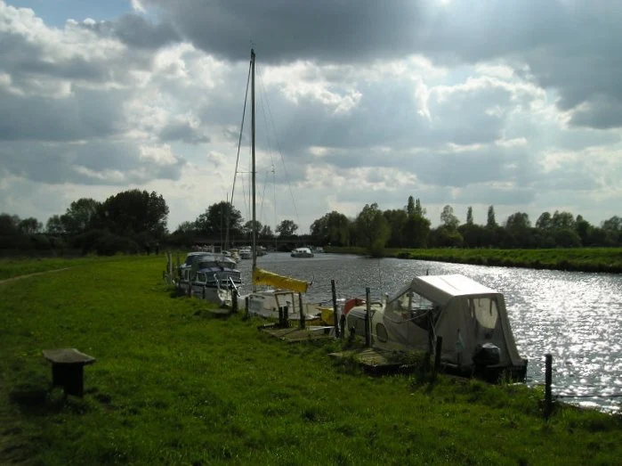
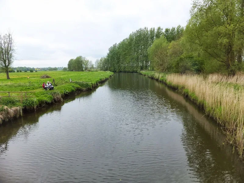
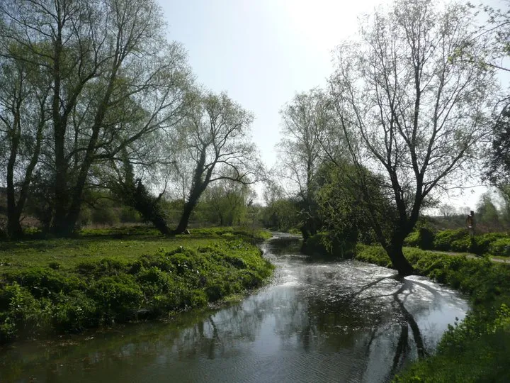
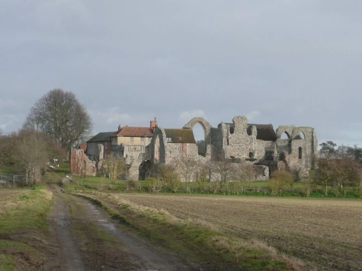
A 9 mile walk along the Angles Way between Oulton Broad and Beccles in Suffolk

The path between Oulton Broad and Beccles doubles up as both The Angles Way and the East Suffolk Coast Line walk. There is not much to this walk other than following the winding path alongside the River Waveney. It is a pleasant enough stroll but without much activity on the river it can become a little monotonous until Beccles approaches. Nonetheless, what a better way than to spend a sunny afternoon other than ambling alongside the river.

Tuesday 10 December 2019

A Circular walk to Geldeston Locks from Beccles

A 7 mile circular walk along the Angles Way from Beccles to Geldeston Locks

A recommended short walk along the Angles Way to the outstanding Geldeston Locks pub, returning via the riverside path to Beccles. This walk passes the location of the historic Barsham Hall, source of the ghostly legend of Old Blunderhazard who is said to ride in his coach drawn by four fire breathing headless horses to Norwich and back each Christmas Eve.

Thursday 24 January 2019

Angles Way - Earsham to Beccles

Waveney Valley from Mettingham

A 12 mile walk along the Angles Way between Earsham and Beccles

The walk starts by heading up the hills that overlook Outney Common. This is a really rewarding start to an easy ramble that continues across the Waveney Valley to Mettingham before continuing down the Waveney Valley. Although Geldeston is on the opposite side of the river to The Angles Way the excursion across the Shipmeadow marshes is well worth the effort to visit the unique Geldeston Locks Inn.

Thursday 28 November 2019

A Walk to Suffolks Mystery Brampton Standing Stone

A 14 mile walk between Halesworth and Beccles along the East Suffolk Line Path

This waymarked route links the railway stations at Halesworth, Brampton and Beccles. Taking the train between these towns will provide an interesting glimpse of what is in store along the walk, including the rather curious Belle Grove Farm looking as if it is out of some fantasy movie and the mysterious Brampton Standing Stone just south of Brampton Station.

Saturday 29 December 2018

Wherrymans Way - Norwich to Thurton

River Yare at Bramerton

A 12.5 mile walk along Norfolk's Wherryman's Way

This is a delightful riverside walk following the River Yare out of Norwich and through to Rockland St Mary. Public transport can link the start and end by navigating down quiet country lanes to Thurton. Whitlingham Country Park provides an easy route to start and there's refreshment stops at Woods End and the Ferry Inn at Surlingham.

Tuesday 1 January 2019

Leiston to Westwood Marsh

The old Westwood Marsh Pumping Mill

A walk encompassing the Westwood Marshes footpath into a circular route from Leiston

The Westwood Marshes footpath is little gem of a path that links the Newdelight Walks with the Suffolk Coast Path through the Westwood marshes. The route for this walk uses this path as the ultimate destination from Leiston but shorter alternatives to include this path are also detailed.

Saturday 28 April 2018

Norwich Riverside Walk

View to Whitefriars bridge

A simple 2.5 mile walk alongside the River Wensum through Norwich.

This picturesque walk through the centre of Norwich links the Marriott's Way at Barn Road roundabout on the inner ring road with The Wherryman's Way and Boudicca Way at Norwich Railway Station. There is a lot of history to the bridges over the River Wensom and associated folklore which is detailed in the features to this walk.

Wednesday 5 December 2018

The Wherrymans Way - Rockland to Loddon

Hardley Drainage Mill

A 15 mile walk along Norfolks Wherrymans Way

The only way one can see the sights of the River Yare is to either sail the river or walk the Wherrymans Way. Even in a boat one cannot get as good a view as the path along the heightened defence banks. This is stereotypical Norfolk in all its glory and although it is a lengthy section of walking, it is well worth the effort.

Thursday 19 December 2019

The Angles Way - Diss to Wortwell

Millpond near Weybread House, Harleston

A 17 mile walk along the Angles Way from Diss to Harleston and onto Wortwell

There is plenty of history along this section of the Angles Way as it follows the course of the River Waveney. Numerous archaeological finds have been found along the route dating from prehistoric times through roman pottery and remnants of the middle ages. There are lost villages, halls and churches to provide ample opportunity for exploration as the path meanders across the Norfolk Suffolk border.

Wednesday 15 February 2012

Winter Snows on Thorpeness Common

Snow on the common

An 7 mile circular walk across The Walks and Thorpeness Common.

The winter snows finally arrived in February this year creating a wonderful winters scene across the Aldringham and Thorpeness Commons, enticing folk out to witness the scene and encouraging local kids to take advantage of sledging down the slopes of the marl pit.

Thursday 13 December 2018

Southwold Circular Walk

An 5.5 mile circular walk around Southwold

This walk navigates from Southwold Harbour around the northern part of the Blyth estuary known as Buss Creek, returning via the seafront to the harbour. One cannot miss out on a wander around the pier to take in the amazing sights of the quirky The Under the Pier show, the creation of Tim Hunkin and typical British eccentricity at its best.

Sunday 30 December 2018

Wherrymans Way - Loddon to Reedham

reedhamquay

An 11 mile walk from Loddon to Reedham along the Wherrymans Way, returning along the same route.

There is no public transport linking Loddon and Reedham, and few other footpaths in the area which is predominately marshland around the river Yare. Therefore this walk requires one to return along the same route. This should not detract one from walking this as it is a very pleasant ramble along the Wherrymans Way with pubs at Reedham making a veritable half way refreshment stop.

Saturday 12 January 2019

Down the Blyth Valley in Pursuit of Black Shuck

River Blyth near Halesworth

An 18 mile walk down the Blyth Valley in Suffolk from Halesworth to Blythburgh, then across the heaths and commons to Leiston.

It was the legendary hell hound that supposedly came this way in 1577 and terrified parishioners of Blythbrugh church after doing a similar job at Bungay. This walk is in two sections, the first section follows the River Blyth along the Waveney Way to Blythburgh with the option to continue on to Southwold. The Waveney Way is a Ramblers Association walk and does not have waymarkers along the route. An optional second section cuts across to Westleton and onto Leiston. Both Southwold and Leiston have public transport links to Halesworth making the walk achievable as a linear route without the requirement of assistance of a taxi.

Monday 3 January 2011

In Search of the ruins of Leiston Abbey

A 10 mile circular walk around Leiston and Eastbridge in Suffolk

Leiston Abbey was originally founded in the late 12th century by Ranulf de Glanville. The original building was constructed on an island in the Minsmere marshes. Two centuries later, due to the inhospitable conditions on the marsh and constant flooding the Abbey was moved inland, lock stock and stone to a site close to Leiston. Despite a great fire in 1367 and much demolition following the dissolution of the monasteries there still remains some impressive ruins. There is still a remnant of the old Abbey, with the former chapel building sitting in its island position above the marsh, decaying into the landscape and containing a WWII pill box. This walk visits both sites making a well worthwhile walk.

Walk Summaries

Latest walk summaries are basic information sheets for walks that have yet to be fully documented. These provide links to maps, public transport and walks stats, although detailed notes and features are not included.

Latest Walk Summaries

Featured Walk

In Search of Sizewell Chapel

A 10 mile walk following the southern side of the parish boundary of Leiston in Suffolk This walk follows the route of a 17th century peramb...

What is GPX

All you need to know about GPX, electronic mapping and how to use modern apps and mobile devices as navigation devices

Popular Walks

Maps