A Walk along the Bure Valley Path
Tuesday, 17 December 2019
|
No comments
|
![]()
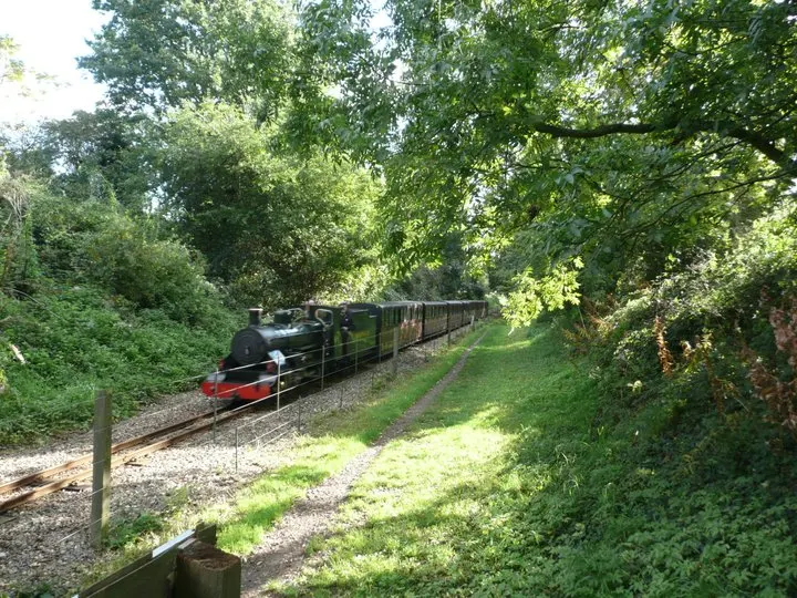
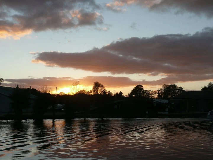
A 9 mile walk along Norfolk's Bure Valley Path between Aylsham and Wroxham
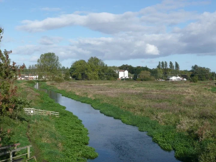
The Bure Valley Path follows the former Great Eastern Railway trackbed alongside the Bure Valley Narrow Gauge Railway. There are outstanding views of the river Bure and stops on route at Brampton, Buxton and Coltishall. Being a former trackbed gives a well drained path so the route is suitable for all weathers.

Walk Statistics
- Start location: Aylsham Bure Valley Railway Station
- End location: Wroxham Station
- Distance: miles ( km)
- Total Gain: ft ( metre)
- Total Descent: ft ( metre)
- Min Height: ft ( metre)
- Max Height: ft ( metre)
- Est. Walk Time:
- Walk type: Linear
- Walk Grade: Easy
- Terrain:

Maps
The following maps and services can assist in navigating this route. There are links to printed maps and links to downloadable GPX route data for importing into navigational software and apps.
- Ordnance Survey Explorer Map
- OS Explorer 252 - Norfolk Coast East
- Ordnance Survey Explorer Map
- OS Explorer OL40 - The Broads
- GPX Route File
Accommodation
Woodhill Park CampsiteView in OS Map | View in Google Map
- Website
- https://www.woodhill-park.com/
- Description
- Located on the clifftops at East Runton, half way between Sheringham and Cromer, this highly recommended touring site is ideal for exploring North Norfolk with public transport available to many destinations from the entrance to the site.
Transport
Sanders Coaches - bus Service
- Service Details
- 44 - Linking Sheringham, Cromer, Aylsham and Norwich
- Timetable
- Sanders Coaches Website
National Express - Train Service
- Service Details
- Bittern Line - Bittern line service between Norwich and Sheringham, calling at Wroxham
- Timetable
- https://www.greateranglia.co.uk/timetables
Walk Notes
This is a great linear walk along the track side of the narrow gauge Bure Valley Railway. This presents regular steam and diesel engines passing throughout the route as it navigates along the Norfolk countryside following the River Bure. As this is basically the old railway trackbed from the former East Norfolk Railway it is pretty level throughout making the going easy. It can be undertaken by anyone of average fitness.
There is no public transport linking the ends of the walk other than the railway itself. Single tickets can be purchased and details and timetables are available on the Bure Valley Railway website. Alternatively, as in this instance where accommodation was at East Runton on the North Norfolk Coast, there is a regular bus service from Cromer to Aylsham, and to return there is a frequent train service between Wroxham and Cromer.
Navigation along this route is easy as on merely has to follow the path alongside the track. There are opportunities to come away from the path in order to seek refreshment. The most notable place to do this is Coltishall where there are several pubs and other amenities available, with several roads that link back up to the railway without having to retrace ones steps. There are also stations at Buxton and Brampton which provide the walker with access into the villages to explore.
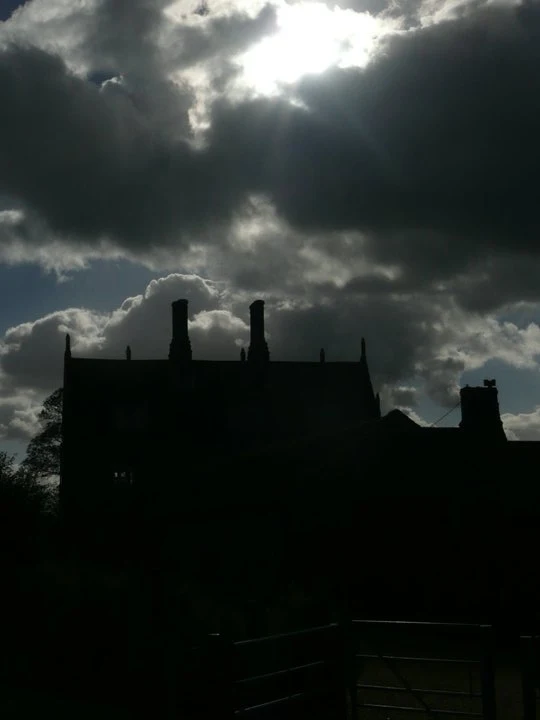
At the crossing just before Little Hautbois on the right hand side when walking towards Wroxham, there is a large house known as Hautbois Hall. This 16th century house allegedly had a room that the window had been bricked up and the door sealed due to violent poltergeist activity that had established itself in the room. This tale has only been related by word of mouth to the author and I can find no documented records to establish this, or indeed to qualify that a room had been sealed in such a manner. This immediate area certainly has a history for in the field adjacent to the railway, just behind the house, was the site of a 13th century travellers hospital and church. By the 15th century this was no more than a chapel which lasted until the village was abandoned in the late 16th century. Nothing remains of these buildings other than probably stone rubble in the earth.
Directions
The path begins at the terminus for the Bure Valley Railway at Aylsham. Just follow the railway, there is no getting lost on this one - one does not even need a map.
To visit Coltishall, exit the railway at Coltishall station and follow the road down into town. Turn left as the road approaches the junction by the petrol station. Continue along this road. The Red Lion pub is on the left past the church. The Kings Head pub is on the right, the last building before on that side of the road out of town. A few yards before the Kings Head there is a footpath on the left. Take this through to the road at the end, turn right and then bear left. Continue along this road until just before it crosses the railway, at which point take the right turning then left at the end where there is a level crossing across the railway and the Bure Valley path can then be continued to Wroxham station.
Pubs
Red Lion , Coltishall View in OS Map | View in Google Map

- Address
- Church Street, Coltishall
- Website
- https://redlioncoltishall.co.uk/
The 16th century pub in the centre of Coltishall. Food served. Guest ales and regular beer festivals
Very busy owing to the fact that it was the Easter Weekend. Nonetheless we found a vacant table on the veranda which offered some welcome shade. Always some decent guest beer on offer here.
Kings Head , Coltishall View in OS Map | View in Google Map

- Address
- Wroxham Road, Coltishall
- Website
- https://kingsheadcoltishall.co.uk/
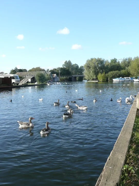
This 17th century Inn is situated on the banks of the River Bure in Coltishall. This stretch of river has free moorings for 24 hours on a 'first come' basis, very handy if arriving on a holiday cruiser or a day hire boat. High quality food and accommodation, together with three ales including Adnams, Green King and a guest Norfolk microbrewery.
The guest beer was brewed specifically for the pub by the Tipples brewery of Acle. A bitter and refreshing pint with hints of spice.
Features
Bure Valley Railway: View in OS Map | View in Google Map
The Bure Valley Railway was built on the track bed of part of the former Great Eastern Railway line between Wroxham and the junction of the Dereham to Wells-next-the-Sea railway at County School. The station at Aysham dates from 1880 and was one of two stations to serve the town. The railway runs a mixture of steam and diesel locomotives with stops at Buxton, Brampton and Coltishall before terminating alongside the mainline railway at Wroxham and Hoveton.
Buxton: View in OS Map | View in Google Map
Buxton is adjacent to the village of Lammas. The two villages are separated by the River Bure at Buxton Mill but are otherwise indistinguishable. Together they form the civil parish of Buxton with Lammas. Buxton watermill, in the lower end of town and visible from the path, is recorded in the Doomsday Book in 1085. William Pepper, a merchant living in Buxton, last rebuilt it as a mill in 1754. The building was constructed of white painted brick and weatherboard with a pantile roof and has been a prominent landmark in the village for many years. The mill was reconstructed after a devastating fire in 1991 and is now 9 luxury apartments. Famous Buxton inhabitants include Anna Sewell, author of Black Beauty, the builder Thomas Cubitt, and Benjamin Griffin, an Eighteenth Century playwright who was the son of a former vicar.
Brampton: View in OS Map | View in Google Map
Although now one of the smallest communities in Norfolk it has a rich history. In particular it was the site of a Roman manufacturing centre from where goods were exported by boat along the river Bure. In excavations in the 1960s evidence of a bath house was found along with many kilns
Coltishall: View in OS Map | View in Google Map
Coltishall was a place of note even when the Domesday Book was compiled. For 250 years it was a centre of the malting industry and many Norfolk wherries were built here.
Image Gallery


Route Validation Cards
Validation Date - 2010-10-16
- Time of Walk: 10:00 to 15:30
- Validators: Griffmonster Kat
- Weather Conditions: Blustery wind and sunny spells
- Notes: Initial route undertaken
Summary of Document Changes
Last Updated: 2026-04-20
- 2010-10-17 : initial publication
- 2013-04-10 : update broken links
- 2017-12-21 : general site maintenance + update directions and pub details
- 2019-01-26 : general website updates. Rework of notes. Removal of the Shed pub.
- 2019-12-17 : general site maintenance
- 2021-03-17 : Update website improvements and removal of ViewRanger reliance
- 2021-12-01 : Removal of ViewRanger links due to its imminent demise
- 2026-01-12 : Major website update with all walks recast to the new format


0 comments:
Post a Comment