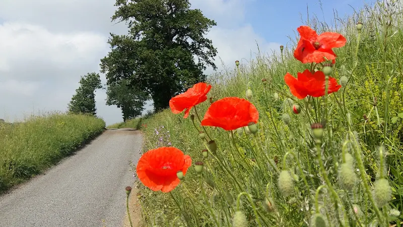
Sweffling Circular Walk Summary

Short circular walk through the Suffolk countryside around the village of Sweffling
A walk around some outstanding Suffolk countryside following the Alde valley south of Sweffling, starting and ending at the Sweffling White Horse pub. There is history too! As well as the many windmills that once sat on the ridge above the valley, the area also boasts a connection with the legends of St Edmund. A tale related by a 14th century manuscript tells of how Edmund defeated his enemies at a place known as Dernford. Although there is no evidence of exactly where this was, some attest that the site was south of Sweffling where Dernford Hall is located.
If you view the Sweffling village sign, on the upright is a heart pierced by a sword, which I am told is the representation of Edmunds victory in the battle.

Walk Statistics
- Start location: Sweffling
- Distance: miles ( km)
- Total Gain: ft ( metre)
- Total Descent: ft ( metre)
- Min Height: ft ( metre)
- Max Height: ft ( metre)
- Est. Walk Time:
- Walk type: Circular
- Walk Grade: easy
- Terrain: The trail uses country lanes, footpaths and tracks
- Obstacles: The walk is relatively easy throughout although there is a short section through King Edward's Coronation Wood which had become severely overgrown on this occasion. It is thought that this is not a result of path neglect but more due to rapid summer growth
Maps
The following maps and services can assist in navigating this route. There are links to printed maps and links to downloadable GPX route data for importing into navigational software and apps.
- Ordnance Survey Explorer Map
- OS Explorer 212 - Woodbridge & Saxmundham
- GPX Route File
Route Validation Cards
Validation Date - 2018-06-03
- Time of Walk: 10:30 to 12:30
- Validators: Griffmonster, Sweffling ramblers
- Weather Conditions: Overcast with sun breaking through
- Notes: Initial route undertaken
Summary of Document Changes
Last Updated: 2026-01-12
- 2021-03-17 : Update website improvements and removal of ViewRanger reliance
- 2021-12-01 : Removal of ViewRanger links due to its imminent demise


0 comments:
Post a Comment