SWCP - Weymouth to Osmington
Tuesday, 16 April 2019
|
No comments
|
![]()
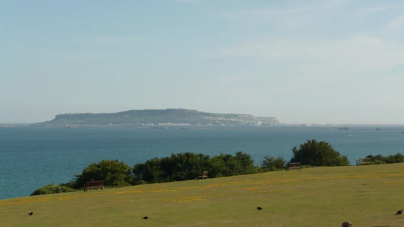
A 5.6 mile walk along the South West Coast Path between Weymouth and Osmington
A reasonably easy wander along the South West Coast Path out of Weymouth heading east. The end of the walk navigates along the inland section of the path to Osmington where buses return to Weymouth.

Walk Statistics
- Start location: Weymouth
- End location: Osmington
- Distance: miles ( km)
- Total Gain: ft ( metre)
- Total Descent: ft ( metre)
- Min Height: ft ( metre)
- Max Height: ft ( metre)
- Est. Walk Time:
- Walk type: Linear
- Walk Grade: Easy
- Terrain: Level walking to start, followed by cliffs
- Obstacles: Half of the route is along prom alongside the road with the second half over cliff tops which are a little more challenging

Maps
The following maps and services can assist in navigating this route. There are links to printed maps and links to downloadable GPX route data for importing into navigational software and apps.
- Ordnance Survey Explorer Map
- OS Explorer OL15 - Purbeck and South Dorset
- GPX Route File
Accommodation
Bagwell Farm Camp SiteView in OS Map | View in Google Map
- Website
- https://bagwellfarm.co.uk/
- Description
- Touring site close to the main road with easy access to the coast Path
Transport
Traveline - Bus Service
- Service Details
- At the time of walking the X53 Jurassic Coastlinx service provide a link between Osmington and Langton Herring. This service no longer operates throughout and the X54 is needed to link Osmington and Weymouth. For the latest details of services and operators see the Traveline website
- Timetable
- https://www.traveline.info/
Walk Notes
This is a very simple and easy walk that can be undertaken during a morning, an afternoon or as in this case the early evening. The first half of the walk is along the coastline following the promenade alongside the main road through to Overcombe. The road then diverges as the path heads over the cliffs. Inland one can make out the Osmington White Horse carved in the hills some 1.5 miles away. The figure, cut into the limestone hills, depicts King George III on horseback and dates from 1808. The carving was undertaken in honour of the King being a regular visitor to Weymouth.
There is a little more challenging walk across the cliff tops to Osmington Mills where the path links with The South Dorset Ridgeway which leads into Osmington village close to the bus stop back to Weymouth. The South Dorset Ridgeway was originally an inland route to the South West Coast Path linking Osmington Mills and West Bexington providing views across the coast.
Route Validation Cards
Validation Date - 2010-06-23
- Time of Walk: 19:00 to 17:00
- Validators: Griffmonster, Kat
- Weather Conditions: Bright sunshine and hot
- Notes: Initial route undertaken
Summary of Document Changes
Last Updated: 2026-04-20
- 2010-06-30 : Initial publication
- 2019-04-16 : Recast and rewritten to common website format - separated out from a common two walk post
- 2021-03-17 : Update website improvements and removal of ViewRanger reliance
- 2021-12-01 : Removal of ViewRanger links due to its imminent demise
- 2026-01-12 : Major website update with all walks recast to the new format


0 comments:
Post a Comment