England Coast Path - Humber Bridge to Easington
Saturday, 15 May 2021
|
No comments
|
![]()
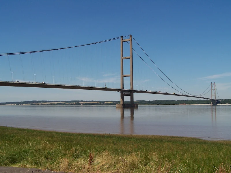
The England Coast Path section along the Yorkshire coast between Humber Bridge to Easington
The proposed route of the England Coast Path between Humber Bridge to Easington. It should be noted that this route is still in the process of determination by Natural England.

WARNING
This route has not been verified by Griffmonster Walks. Proceed with caution.
Walk Statistics
- Start location: Humber Bridge
- End location: Easington
- Distance: miles ( km)
- Total Gain: ft ( metre)
- Total Descent: ft ( metre)
- Min Height: ft ( metre)
- Max Height: ft ( metre)
- Est. Walk Time:
- Walk type: Linear
- Walk Grade: Medium
- Terrain: Footpath, Permissive Path, Track, Road

Maps
The following maps and services can assist in navigating this route. There are links to printed maps and links to downloadable GPX route data for importing into navigational software and apps.
- Ordnance Survey Explorer Map
- OS Explorer 292 - Withernsea & Spurn Head
- Ordnance Survey Explorer Map
- OS Explorer 293 - Kingston upon Hull & Beverley
- GPX Route File
Walk Notes
The England Coast Path is an attempt to provide public access to the coastal margin for the whole of England. This has been backed by legislation from the Countryside and Rights of Way Act 2000 and is expected to be completed by the end of 2021. There is a five stage process that is used to create the right of way for each section. This is defined as in Natural England, and is summarized as:
- Stage 1 - Prepare
- Stage 2 - Develop
- Stage 3 - Propose
- Stage 4 - Determine
- Stage 5 - Open
The legislation enables the path to recede with any erosion of the coastal margin and thus the right of way will be maintained. The section between Humber Bridge to Easington is currently at stage 4 to determine the route, with details of the route and accompanying maps available for download on gov.uk website. The deadline for any representations to these proposals end on at midnight, Wednesday 7 July 2021.
In many instances existing rights of way and permissive paths are used and can be walked before the official path opens. In the instance of the section between Humber Bridge to Easington, the route uses public rights of way and permissive paths.
Main image reproduced under the Creative Commons Licence
Directions
Section of the King Charles III Enlgand Coast Path
This is an undocumented walk that has no directions. As it is a national trail then adequate signage and waymarkers should be available on route.
Route Validation Cards
Not Validated
Summary of Document Changes
Last Updated: 2026-04-20
- 2021-05-08 : Initial Publication
- 2021-12-01 : Removal of ViewRanger links due to its imminent demise
- 2026-01-12 : Major website update with all walks recast to the new format


0 comments:
Post a Comment