An Amazing Adventure to Westleton Barrel Fair 2010
Sunday, 15 August 2010
|
No comments |
![]()

An Amazing Adventure to Westleton Barrel Fair 2010
A 9 mile return Suffolk walk from Leiston to Westleton to attend the annual Westleton Barrel Fair
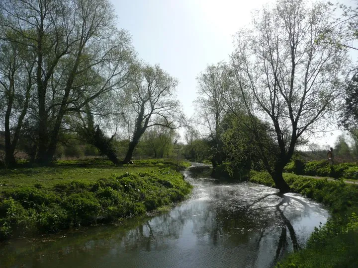
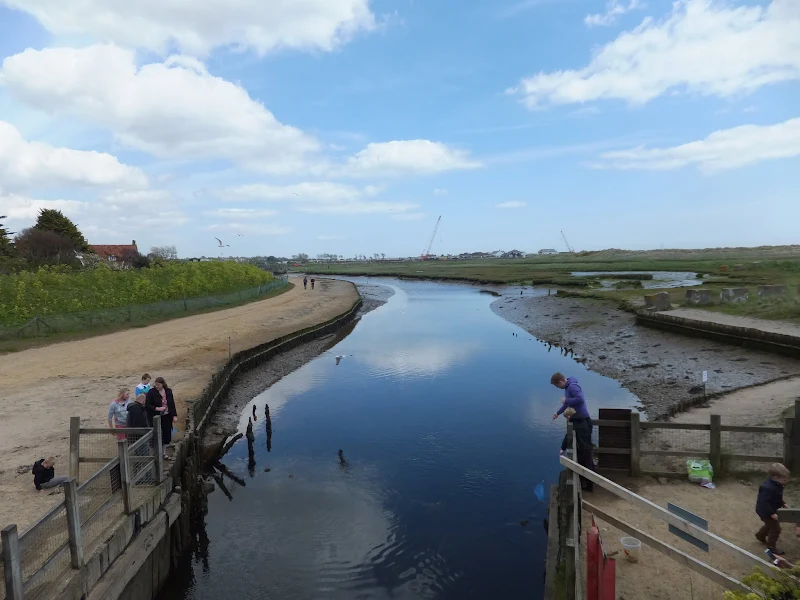
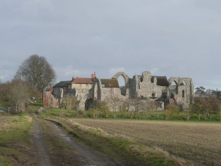
This isnt a walk that I would normally include as it is not really a true circular walk, but Westleton Barrel Fayre is worth the mention in itself! Each year Westleton Village organises the mid-August fayre and rather than driving to the event it is just as easy to walk the 4.5 miles. You can walk down the lanes from Leiston to Eastbridge, but as there had been so much rain in recent days, we decided to keep to the road. There is a pavement out of Leiston, then the road to Eastbridge is a one lane track with little traffic. Then it is a pleasant walk through the woods. Westleton Barrel Fayre was a most excellent adventure