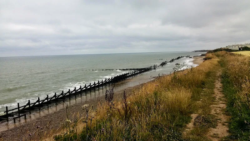
It has been known for sometime now that one of the first stages of the All England Coast Path would be the Norfolk coast. Well, it has started to happen. Without any fanfare or announcement the waymarker and sign posts have appeared along the Norfolk Coast declaring Norfolk Coast Path and enabling the walker to continue from Cromer all the way through to Sea Palling. This does not officially open until the winter of 2014 as detailed by the Norfolk Trails website. Even so, it is still currently accessible to the would be coast walker.
The response from the Secretary of State to the petitions and objections for the path can be viewed at www.gov.uk.
The route has used a mixture of existing public and permissive footpaths and the legislation will enable the path to recede landwards with any ensuing erosion. Some of this can already be seen between Overstrand and Trimmingham where erosion has already taken some of the existing footpath forcing the walker to rightfully take a route at a safe distance from the cliff.
In addition the route taken from Sheringham to Cromer has now been altered to take a coast route rather than diverting away from the cliff top and up to Roman Camp before coming back down to Cromer. This certainly is more in keeping with the coast path status.
The extension provides a contrast to the North Norfolk section which is typified by salt marsh and flood defences. From Sheringham the scenery changes to tall cliffs and broad beaches. Beyond Happisburgh the cliffs recede and the final section is low level dunes with acres of sandy beach. Although the path uses a mixture of both cliff top paths and beach, it can nonetheless be completed along the beach throughout providing the tides are suitable.
The sections where the official route does take to the beach there are also alternative permissive paths along the cliff top. These can be used when high tides prevent access, especially the section in front of Bacton which is regularly cut off by tides. Walks on this site provide details of both cliff top paths and beach routes.
Transport Connections
The route from Hunstanton through to Cromer continues to be served by Norfolk Greens Coasthopper service. Beyond this there is a regular service that links Cromer, Overstrand and Mundesley served by Sanders Coaches. The far reaches of the new path out to Sea Palling are unfortunately not currently well served at all. There is a bare bones service that offers just two weekday journeys between Happisburgh and Sea Palling during the morning and two in the opposite direction during the evening. Saturdays , this is reduced to a single journey in each direction. There is no service that connects Mundesley to Happisburgh which would necessitate a connection with other services from North Walsham.
Beyond Sea Palling
Consultations are already underway to extend the coast path through to Hopton with the expectation of this being opened during 2015. This section can already be walked by both beach or navigating along the low cliffs and through the housing and holiday camps that adorn the seafronts of Caister and Scratby.


