Route details, maps, pubs, features, local history and folklore for a wide variety of walks focusing primarily on Norfolk and Suffolk

Walks
Showing posts sorted by relevance for query Bacton. Sort by date Show all posts

Tuesday 10 December 2019

North Walsham to Bacton Woods Circular Walk

wonky telegraph poles near Ebridge Mill pond

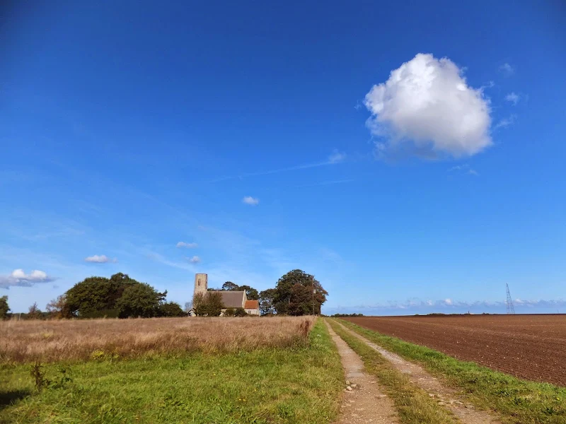
A 7 mile circular walk connecting the Norfolk town of North Walsham with Bacton Woods

The Norfolk countryside holds a lot of hidden gems and this walk discovers a few. The route uses country lanes and footpaths to provide an easy circular ramble. The woods are worth the effort and hold a hidden secret of the location of a gibbet on which, during the late 18th century, William Suffolk's body was hanged in chains for his murderous deeds. The return route passes the iconic Ebridge Mill and then leads onto the Weavers Way for the final section back to North Walsham

Saturday 29 December 2018

Paston Way - North Walsham to Mundesley

Edingthorpe church

An 11 mile walk along Norfolk's Paston Way between North Walsham and Mundesley

The Paston Way is a veritable Trail around some of East Norfolk's medieval churches. This section includes the delights of North Walsham, Edingthorpe, Knapton, Paston and Bacton. Although all are impressive, it it the small church at Edingthorpe which must not be missed, a treasure to behold.

Mundesley to Happisburgh Circular Walk

Coastline from Mundesley to Happisburgh

A 13 mile walk between the Norfolk coastal villages of Mundesley and Happisburgh

This walk comprises of a circular route taking in both the beach and the cliff-top paths between the two Norfolk coastal villages of Mundesley and Happisburgh. The centre of this walk is at Walcott where the cliffs recede and access to the beach is obtainable. This enables the walker to customise this route according to tidal conditions as both Happisburgh and Bacton beaches can be cut off by high tides.

Tuesday 29 July 2014

Norfolk Coast Path Extension

Coastline from Mundesley to Happisburgh

A 21 mile extension has recently been completed to the Norfolk Coast Path taking it through to Sea Palling

As part of the English Coast Path project, the Norfolk Coast path has now been extended to Sea Palling with waymarkers and direction signs being added during the first half of July. This includes a redirected section between Beeston and Cromer that now follows the coast rather than its original route which headed inland through the hills above Cromer.

Saturday 1 May 2021

The Original Paston Way Route

Norfolk countryside

Walking the original route to Norfolk's Paston Way

The Paston Way is a long distance trail around north east Norfolk that takes its names from the eminent Paston family who lived in the area during the 15th century, originating from the village of Paston. Although the route of the trail has been altered in more recent years in order to incorporate additional villages and churches in the area, originally it was a sub-20 mile trail with branches to outlying villages and churches. The original route can still be accessed and is a great way to spend a days walking between Norfolk's North Walsham and Cromer.

Saturday 17 July 2010

The Paston Way


The Paston Way is a 20 miles Norfolk footpath linking North Walsham and Cromer. The path takes its name from the Paston Family who, during the Medieval and Tudor periods, were the dominant and wealthy landowners in which much of the trail passes. The Paston Family in turn had taken their name after the north eastern coastal village of Paston. The route can be walked within a day and there is ample public transport connecting start and end of the route. The first time I walked this route I was so impressed that I walked it again the next year. It encompasses both coutryside and seaside and Cromer is a fitting end to the walk with plenty of refreshment houses to recuperate in.

Tuesday 20 March 2018

Eye to Hoxne Circular Walk

Hoxne village

A 10 mile walk around the Suffolk villages of Eye and Hoxne

Hoxne is said to be where St Edmund was Martyred by the Viking invaders in the 9th century. The village is full of reminders of the gruesome event including the cross which marks the place of the oak tree his assailants tied him to, beat him, fired arrows at and eventually beheaded and the bridge he reputedly hid trying to escape his captors.

Thursday 10 January 2019

Happisburgh to Winterton Beach Walk

Happisburgh from Eccles

An 11 mile beach walk between along the Norfolk coast from Happisburgh to Winterton

Providing the tide is right, this is a fantastic beach walk with miles of golden sand and, if you are lucky, the sight of seals basking in the sunshine. Probably one of the best beach walks on this coastline.

Thursday 19 December 2019

In search of the Becks and Ponds of Beeston Regis

View from foot of Incleborough Hill

A 7 mile walk between East Runton and Sheringham in Norfolk, searching out a couple of good pubs and following Beeston Beck across Beeston Common.

This picturesque trail follows the foot of Inkleborough Hill to West Runton then navigates down to the northern end of Beeston Back Common where it follows the stream known as Beeston Beck down into Sheringham, past the site of an old watermill, now replaced by terraces of housing. Return is via West Runton with a stop at the Village Inn. At only 7 miles, this is a simple and easy afternoons stroll.

Saturday 29 December 2018

Gipping Valley Way - Needham Market to Ipswich

near Pipps Ford

A 13 mile walk following Suffolk's River Gipping between Needham Market and Ipswich

A riverside walk tracing the route of the River Gipping as it heads through Suffolk to join the tidal waters of the Orwell at Ipswich. A gentle ambling route that twists and turns through the countryside which presents a perfect summers walk.

Walk Summaries

Latest walk summaries are basic information sheets for walks that have yet to be fully documented. These provide links to maps, public transport and walks stats, although detailed notes and features are not included.

Latest Walk Summaries

Featured Walk

In Search of Sizewell Chapel

A 10 mile walk following the southern side of the parish boundary of Leiston in Suffolk This walk follows the route of a 17th century peramb...

What is GPX

All you need to know about GPX, electronic mapping and how to use modern apps and mobile devices as navigation devices

Popular Walks

Maps