Cromer to Hopton 40 mile Challenge Walk
Saturday, 28 July 2018
|
2 comments
|
![]()
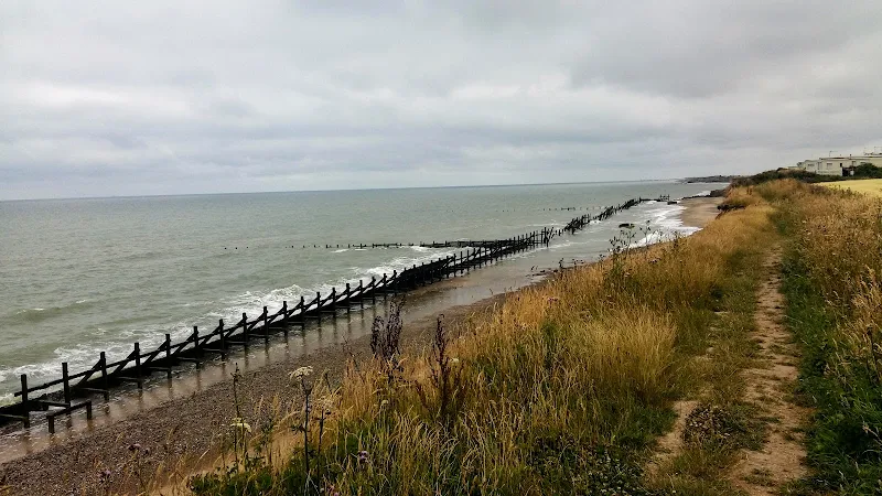
Extensive full day hike around the eastern section of the Norfolk Coast Path
This walk should only be undertaken by experienced long distance walkers or those who have specifically trained for such a feat. This specific route was undertaken from 5am with a high tide around 6am. This allowed for a beach walk from Waxham through to Caister as an alternative to the official dunes paths. A support car was employed to provide the return journey and offer assistance in case of emergency.

Walk Statistics
- Start location: Cromer
- End location: Hopton
- Distance: miles ( km)
- Total Gain: ft ( metre)
- Total Descent: ft ( metre)
- Min Height: ft ( metre)
- Max Height: ft ( metre)
- Est. Walk Time:
- Walk type: Linear
- Walk Grade: hard
- Terrain: Clifftop footpaths, beach walking and some road walking. The beach can be accessed throughout depending upon tide and provides alternative to the official path.
- Obstacles: Check tide times to determine whether beach is accessible. Parts of the official path use the beach and these should be accessible at all times apart from excessively high tides or storm surges. Adhere to diversions; the coast is subject to constant erosion and diversions are regularly encountered particularly around the Happisburgh area. Stay away from cliff edges, and keep to the landward side of any cracks along cliff top paths.

Maps
The following maps and services can assist in navigating this route. There are links to printed maps and links to downloadable GPX route data for importing into navigational software and apps.
- Ordnance Survey Explorer Map
- OS Explorer 252 - Norfolk Coast East
- Ordnance Survey Explorer Map
- OS Explorer OL40 - The Broads
- GPX Route File
Accommodation
Woodhill Park CampsiteView in OS Map | View in Google Map
- Website
- https://www.woodhill-park.com/
- Description
- Located on the clifftops at East Runton, half way between Sheringham and Cromer, this highly recommended touring site is ideal for exploring North Norfolk with public transport available to many destinations from the entrance to the site.
Route Validation Cards
Validation Date - 2018-07-12
- Time of Walk: 05:00 to 19:30
- Validators: Griffmonster, Helen, Ed
- Weather Conditions: Overcast throughout most of the day
- Notes: Initial route undertaken
Summary of Document Changes
Last Updated: 2026-04-20
- 2021-03-17 : Update website improvements and removal of ViewRanger reliance
- 2021-12-01 : Removal of ViewRanger links due to its imminent demise
- 2026-01-12 : Major website update with all walks recast to the new format


2 comments:
We live in Hopton-on-Sea and were on the beach when you all finished. Congratulations !
thank you - it is quite a challenge but well worth the effort
Post a Comment