Somerset Coast Path - Minehead to Watchet
Wednesday, 3 October 2018
|
No comments
|
![]()
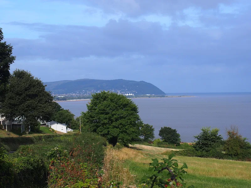
An easy ramble along the Somerset Coast Path between Minehead and Watchet
This is a scenic and easy walk along the Somerset Coast Path between Minehead and Watchet with connections between the ends provided by either bus service or the heritage railway that follows the route.
Parking in this area of Somerset is expensive and an alternative is to make use of the ample free parking along the coast road at the hamlet of Blue Anchor, midway along the route.
The walk encompasses a varied scenery from the flat open areas of Dunster Beach to the rolling hills between Blue Anchor and Watchet which require a little effort to ascend but are nothing too challenging. There are some beach sections although a cycle track provides an easier option from the hard going across the large pebbles
It must be noted that on this instance of the walk during September 2018 there had been cliff fall just beyond the Blue Anchor pub at the eastern end of the hamlet of the same name which had blocked the path. This necessitated following a waymarked diversion along permissive paths that follow the roadside then descend down to the cliffside through the woods known as Three Acre Covert. A stroll that made a pleasant change of scenery.

Walk Statistics
- Start location: Minehead
- End location: Watchet
- Distance: miles ( km)
- Total Gain: ft ( metre)
- Total Descent: ft ( metre)
- Min Height: ft ( metre)
- Max Height: ft ( metre)
- Est. Walk Time:
- Walk type: Linear
- Walk Grade: moderate
- Terrain: Varied landscape with coastal footpaths, beach and cliff top paths
- Obstacles: The path between Dunster Beach and Blue Anchor uses the beach which can be tiresome over the large pebbles. An alternative is to follow the cycle path that runs immediately parallel to the beach.

Maps
The following maps and services can assist in navigating this route. There are links to printed maps and links to downloadable GPX route data for importing into navigational software and apps.
- Ordnance Survey Explorer Map
- OS Explorer 140 - Quantock Hills & Bridgwater
- GPX Route File
Accommodation
Unity Farm, Brean Sands, Burnham-on-SeacampsiteView in OS Map | View in Google Map
- Website
- https://unityholidays.co.uk/
- Description
- A family oriented holiday park with entertainment, static caravans as well as touring pitches
Transport
First Group - Bus Service
- Service Details
- 28 - First Group 28 Service linking Minehead, Watchet and Taunton
- Timetable
- First Group (Somerset) Website
Route Validation Cards
Validation Date - 2018-09-10
- Time of Walk: 10:30 to 14:00
- Validators: Griffmonster, Kat
- Weather Conditions: Sun and clouds
- Notes: Initial route undertaken
Summary of Document Changes
Last Updated: 2026-04-20
- 2021-03-17 : Update website improvements and removal of ViewRanger reliance
- 2021-12-01 : Removal of ViewRanger links due to its imminent demise
- 2026-01-12 : Major website update with all walks recast to the new format


0 comments:
Post a Comment