Route details, maps, pubs, features, local history and folklore for a wide variety of walks focusing primarily on Norfolk and Suffolk

Stour and Orwell Walk Walks
Showing posts with label Stour and Orwell Walk. Show all posts

Tuesday 4 May 2021

Stour and Orwell Walk - Ipswich to Shotley Gate

Industry and nature

A 14 mile walk along the banks of the River Orwell in Suffolk between Ipswich and Shotley Gate

The Stour and Orwell path is an extension to the southern end of the Suffolk Coast Path and follows the coast and heaths along the estuaries of the Orwell and the Stour rivers. This particular walk focuses on the section between Ipswich and Shotley Gate following the river Orwell along the Shotley peninsular.

Wednesday 15 January 2020

Stour and Orwell Walk - Felixstowe to Ipswich

A 17 mile walk along the banks of the Orwell River in Suffolk starting at Felixstowe and ending in the centre of Ipswich

The Stour and Orwell path is an extension to the southern end of the Suffolk Coast Path and follows the coast along the estuaries of the Orwell and the Stour. The start of the walk is characterised by the earthen river defences along which the footpath navigates. From Levington Creek an alternative route is used to pay a visit to the 13th century Ship Inn before proceeding through Broke Hall Woods to rejoin the official route through to Ipswich.

Friday 17 August 2018

Stour and Orwell Walk - Cattawade to Shotley Gate Walk Summery

Salt marsh

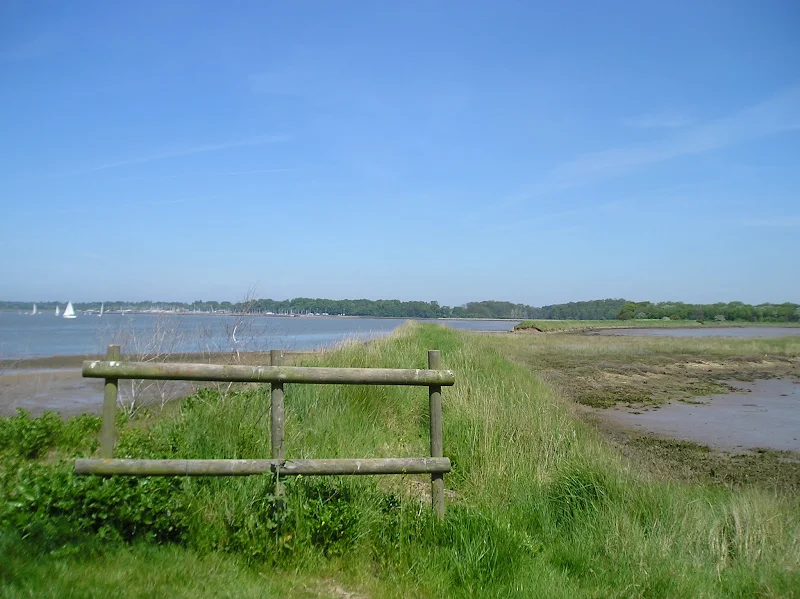
A walk along the Stour estuary following the Stour and Orwell long distance path.

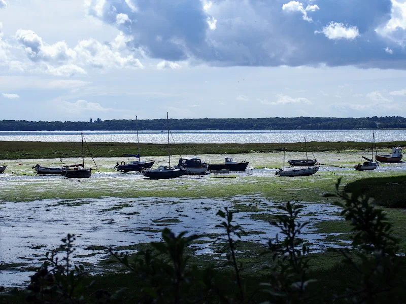
The Stour and Orwell Walk is a long distance trail that follows the estuaries of South Suffolk. This 42 mile trail links Felixstowe and Manningtree and this specific walk is the southern most section that follows the north side of the River Stour estuary. There are some superb views across the wide waters that separate Suffolk and Essex and although there is not full access along the waterfront, the route provides a pleasant days ramble to the head of the Shotley peninsular. This specific route also diverges from the official route to take in the village of Erwarton, a quiet and tranquil Suffolk community that is a pleasure to meander through.

The route is waymarked throughout although it is advisable to use an OS map or GPX tracker software to clarify the route in a few specific points where the way onwards becomes ambiguous. Do check tide times as there is a short section along the beach by Sutton Ness which can become inaccessible during periods of high tide.

The main limitation of this walk is the transport access between the two ends. There is no direct bus service and one needs to use Ipswich as a link. Having said this, the services do allow ample time to perform the walk.

It is advisable to take food and drink as there are little opportunities to purchase any on the route, with the only pub encountered being that at the end of the walk.

Walk Summaries

Latest walk summaries are basic information sheets for walks that have yet to be fully documented. These provide links to maps, public transport and walks stats, although detailed notes and features are not included.

Latest Walk Summaries

Featured Walk

In Search of Sizewell Chapel

A 10 mile walk following the southern side of the parish boundary of Leiston in Suffolk This walk follows the route of a 17th century peramb...

What is GPX

All you need to know about GPX, electronic mapping and how to use modern apps and mobile devices as navigation devices

Popular Walks

Maps