Suffolk Coast Path - Sizewell to Aldeburgh Circular Walk
Monday, 23 December 2019
|
No comments |
![]()

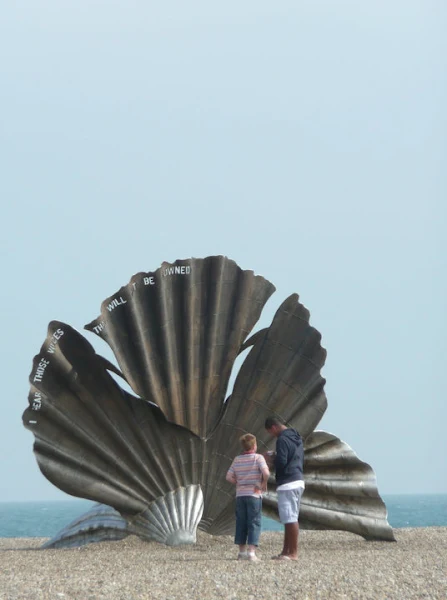
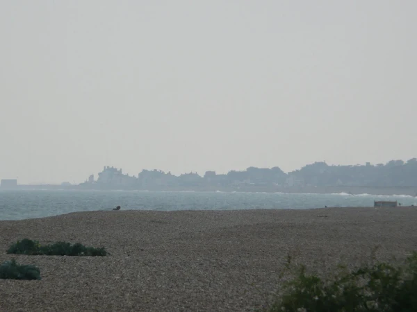
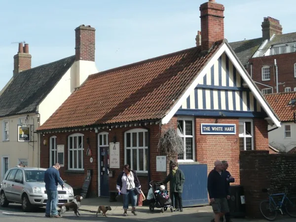
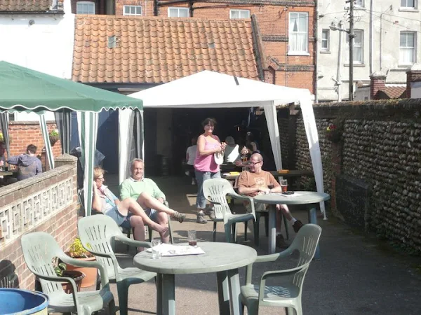
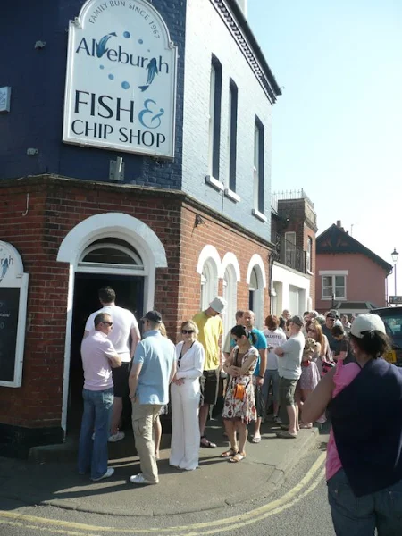
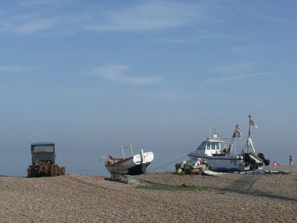
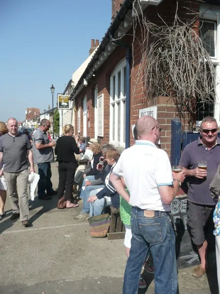
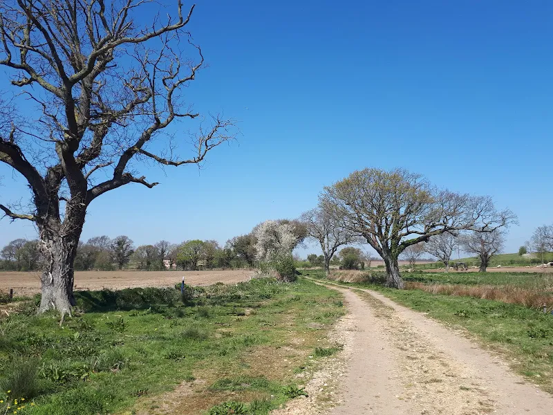
A circular walk from Sizewell to Aldeburgh along the Suffolk Coast Path
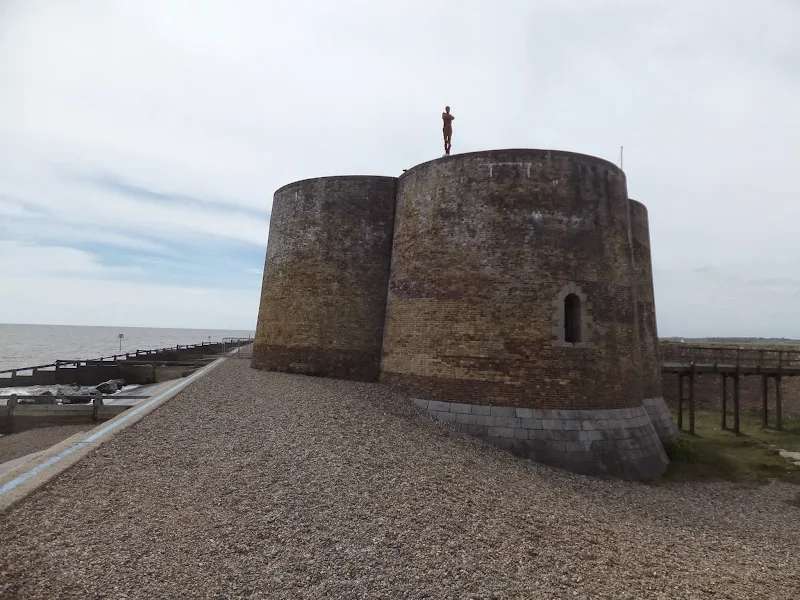
The Suffolk Coast Path does not go into Aldeburgh but it is a simple excursion to continue along the beach all the way down to the unique clover leafed Martello Tower at the vanished village of Slaughden using the old railway track to make a circular walk.