Route details, maps, pubs, features, local history and folklore for a wide variety of walks focusing primarily on Norfolk and Suffolk

Walks
Showing posts sorted by date for query Aldeburgh. Sort by relevance Show all posts

Thursday 7 January 2021

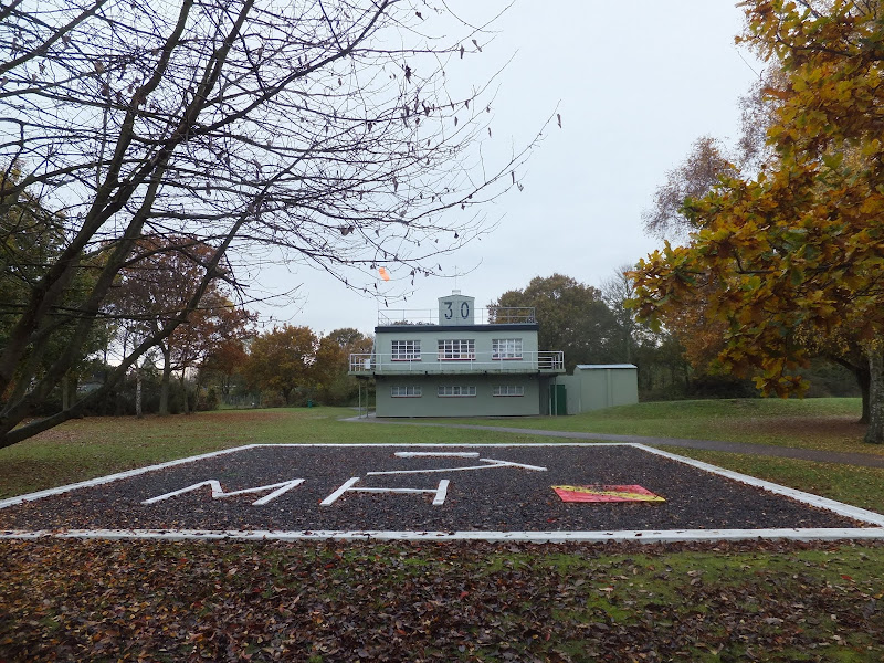
In Search of Leiston Gibbet, Friday Market Heath and St Andrews Green

Land by the River Hundred at Aldringham

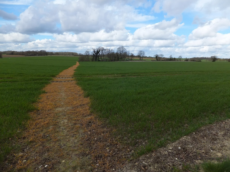
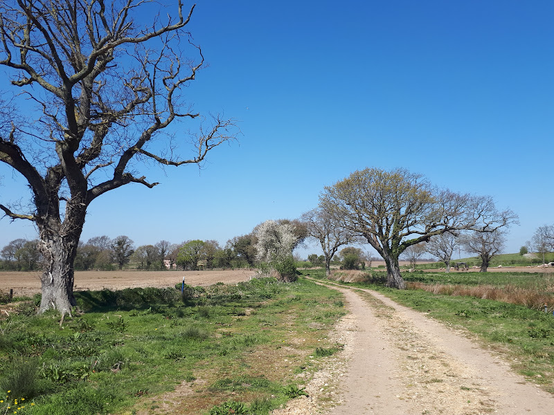
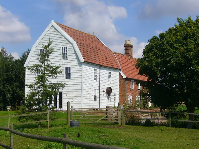
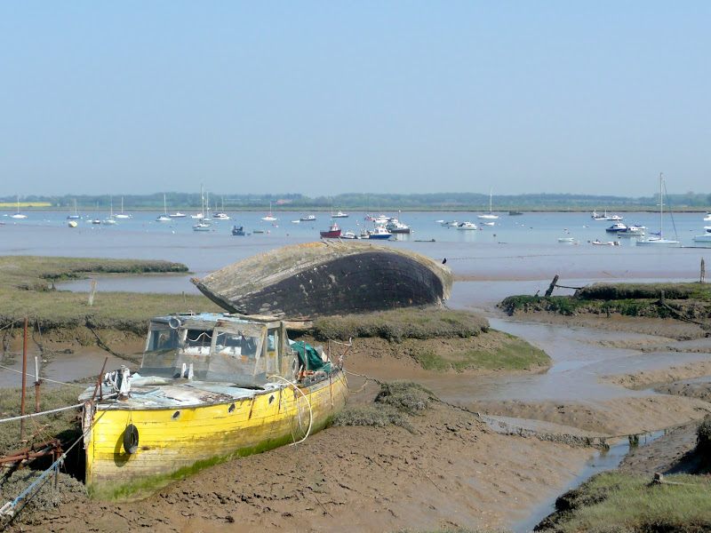
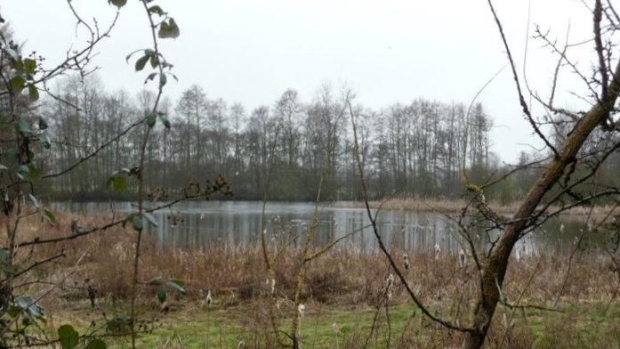
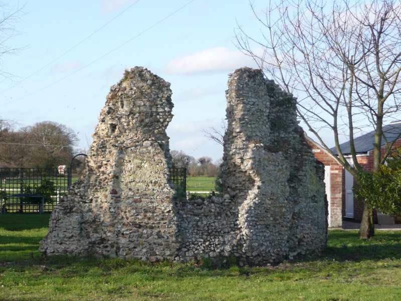
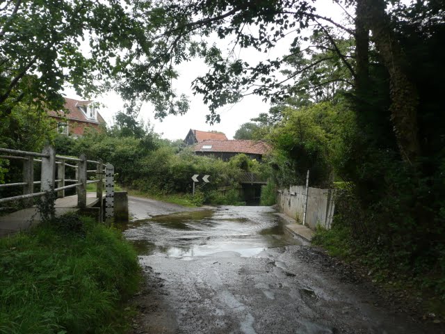
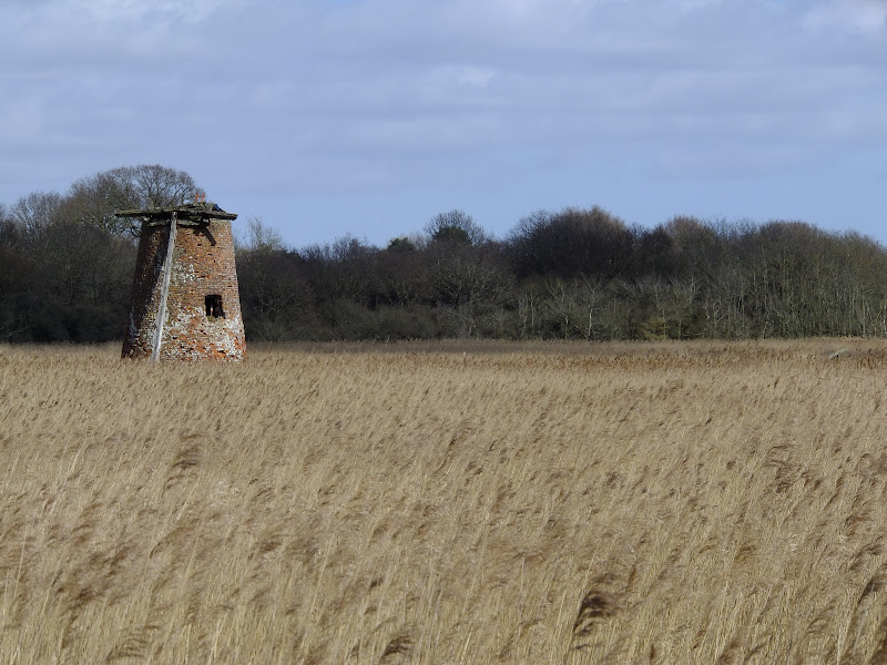
A 6 mile walk around the heaths and commons of Coldfair Green

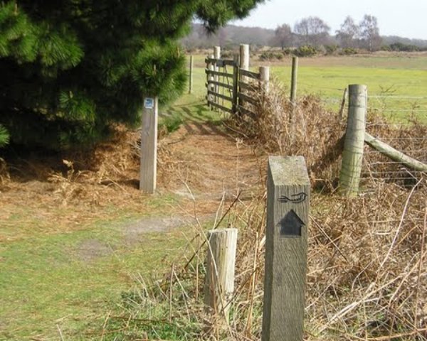
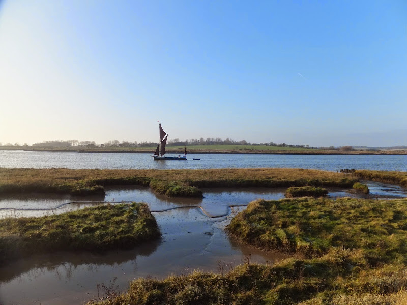
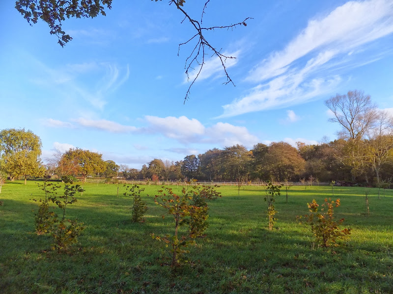
This walk follows an investigation to seek out the location of the Leiston Gibbet and an area of heathland that was known in the 1600's as Friday Market Heath. The only reference to these places comes from an old book from 1910 entitled 'The Chronicles of Theberton' which details the route past the gibbet. This walk attempts to retrace this route by navigating along the heathland and footpaths around the River Hundred which marks the boundary between the hundreds of Blything and Plomestead. Extensive research which has been undertaken and documented in the feature of this walk with some revealing insights to long forgotten places.

Sunday 9 February 2020

Suffolk Coast Path

Martello Tower at Bawdsey

An overview of the Suffolk Coast Path, a 60 mile long distance path following the coast of Suffolk

A 60 mile long distance footpath from Felixstowe to Lowestoft in easy stages through some of the characteristic landscapes of the Suffolk Coast and Heaths Area of Outstanding Natural Beauty. The path also includes the Orford Loop which provides access through to Orford and the Butley Ferry. Alternative beach walks, providing the tide is right, can be undertaken throughout.

Monday 23 December 2019

Suffolk Coast Path - Sizewell to Aldeburgh Circular Walk

Fishing shacks at Aldeburgh

A circular walk from Sizewell to Aldeburgh along the Suffolk Coast Path

The Suffolk Coast Path does not go into Aldeburgh but it is a simple excursion to continue along the beach all the way down to the unique clover leafed Martello Tower at the vanished village of Slaughden using the old railway track to make a circular walk.

Tuesday 17 December 2019

South West Coast Path - Brixham to Paignton

Paignton Harbour

A 12 mile walk along the South West Coast Path between Brixham and Paignton.

There are a few moderately strenuous sections to this walk but nothing too arduous. The walk starts by heading out to Berry Head, the site of a an iron age fort, although most of this has been destroyed by late 18th century fortification for the Napoleonic Wars. The path then descends down into Brixham town where there are refreshment houses and shops set around the harbour. Brixham is much more of a heritage fishing town rather than its commercialized holiday resort neighbours of Paignton and Torquay. Out of Brixham, the path makes its way across the cliffs descending to Broad Sands and Goodrington Sands before reaching Paignton.

The Sandlings Walk - Bromeswell to Snape

Wantisden church

A 16 mile walk along the Suffolk Sandlings Path between Bromeswell and Snape taking in Rendlesham and Tunstall forests

The route leads across gorse covered heathland and through forest which typifies the modern landscape of the Sandlings. The forests are a modern development, set up with the founding of Forestry Commission during the 1920's to provide Britain with a sustainable source of timber. One cannot fail to notice the twin airbases of Woodbridge and Bentwaters, the scene of a infamous military encounter with a UFO during December 1980.

Tuesday 10 December 2019

Exploring the Suffolk Coast and Heaths area of Oustanding Natural Beauty around Aldeburgh

Aldeburgh from the  River Alde estuary

A 12.5 mile walk between Aldringham and Aldeburgh through the Suffolk Coastal Area of Outstanding Natural Beauty

There is a variety of differing scenery along this route, gentle hills around Aldringham, boardwalks across the marshes at The Fens, a walk along the old Aldeburgh railway and an estuary walk along river defences of the Alde. With such treasures as the pretty little church at Aldringham, tucked away in the trees and away from civilisation and the magnificent church of St Peter and St Paul at Aldeburgh, there is plenty to see and explore.

Friday 6 December 2019

A Country Amble between Leiston and Saxmundham

Broad footpath marked out across the fields to Saxmundham

A 5 mile walk across the Coastal Suffolk landscape between Leiston and Saxmundham

This walk searches out footpaths to connect the neighbouring towns of Leiston and Suffolk. Although there is no direct route, the paths chosen are certainly more conducive to the walker than the busy road route. With the churches of Leiston and Knodishall on the route, plus the mysterious Harris's Pit in the parish of Sternfield there is enough to interest the avid rambler. Sternfield also has the notoriety of being the village from which the last woman to be burnt at the stake in England came.

Saturday 11 May 2019

In Search of Polsborough Gate

track to Aldeburgh Road

A 9.5 mile walk following the old Snape Road to the Sailors Path

This walk links Leiston with the Sailors Path following the old traditional road that used to link the town with Snape. There is then an outstanding ramble across Black heath and Hazlewood marshes through to Aldeburgh where a regular bus service links back with the start. Along this route was what in the 1700s was known as Polsborough Gate, a landmark whose position and derivation is unknown but with a little research some information about it can be determined

Friday 5 April 2019

The Alde Valley Walk - Leiston to Wickham Market

Beversham Mill

A 16 mile walk along the East Suffolk Line Path between Leiston and Wickham Market

Although the official route for the East Suffolk Line Path links the stations at Saxmundham and Campsea Ashe, this provides an alternative route using the local bus service to link the two ends. Highlights along the route include the picturesque Beversham Mill and the legendary Blaxhall Stone which is said to progressively grow in size.

Saturday 26 January 2019

An Extended Walk around the Rendlesham UFO Trail

A 12 mile circular walk starting at Eyke and incorporating the UFO Trail in Suffolk's Rendlesham Forest

The Rendlesham UFO trail is a waymarked 3 mile trail around the eastern end of Rendlesham Forest that navigates around the key areas that were involved in the Rendlesham Forest Incident of 1980 in which both civilian and military personnel witnessed unexplained craft land within the forest. Although this can be walked by parking up at the visitor car-park in the forest, a longer alternative is to take the footpaths from Eyke, and make a day of this most wonderful and intriguing part of Suffolk.

Monday 21 January 2019

An Amble up the Deben Estuary

Felixstowe Ferry

A 13 mile walk along the River Deben in Suffolk, starting at Felixstowe and ending in Martlesham

The lovely walk along the Deben estuary. Although parts are inaccessible due to breaches of the flood banks, the mix of riverside paths, country lanes and footpaths provides an ideal mix of landscapes to keep any walker fascinated. The May bush pub offers a perfect place to take a rest and refreshment, its riverside location unbeatable.

Friday 18 January 2019

A Walk through the Garden of Suffolk

A 14 mile walk between Saxmundham and Darsham along the East Suffolk Line Walk.

It is Yoxford that gives us the name of this walk which is part of the East Suffolk Line Walks and this specific ramble extends the line walk to return to Leiston where a regular bus service connects the two ends. Yoxford sits on the banks of the River Yox surrounded by three country house parks; Sibton Park that contains large well stocked fishing lake; Grove Park situated in the village; and Rookery Park on the Leiston road. This has earned Yoxford the name of the 'Garden of Suffolk'. The whole route of this walk is a pleasant amble through the rural fields of Suffolk with a return journey through the pretty country lanes following the Minsmere river through to Middleton, Theberton and finally Leiston.

Friday 4 January 2019

A Walk Around the Churches of Knodishall and Friston

An 8.4 mile circular walk around the Suffolk villages of Knodishall and Friston

An easy ramble across the Suffolk countryside, with the highlight being the hidden ruins of St Peters Church in the old parish of Buxlow, now a part of Knodishall. There's some fascinating history on this walk along paths that are off the beaten track but nonetheless well maintained.

Thursday 3 January 2019

Tracks and lanes to Glemham

Benhall Ford

A 22 mile route that can be either walked or cycled through the Suffolk countryside around Snape, Blaxhall and Glenham

A glorious route through the Suffolk countryside using a mixture of lanes, tracks, bridleways and little used country roads. This can be either walked or cycled and provides a full days outing taking in the picturesque villages of Snape, Blaxhall, Little Glemham, Great Glemham and Benhall which these days is split into two with the A12 separating Benhall Low Street from Benhall Green. Along the route is the Parham Airfield Museum, although this is only open on Sundays between April to October.

Tuesday 1 January 2019

Leiston to Westwood Marsh

The old Westwood Marsh Pumping Mill

A walk encompassing the Westwood Marshes footpath into a circular route from Leiston

The Westwood Marshes footpath is little gem of a path that links the Newdelight Walks with the Suffolk Coast Path through the Westwood marshes. The route for this walk uses this path as the ultimate destination from Leiston but shorter alternatives to include this path are also detailed.

Sunday 30 December 2018

Suffolk Coast Path - Lowestoft to Southwold Inland Route

Covehithe church

A 17 mile walk using the official inland route of the Suffolk Coast Path from Lowestoft to Southwold

Due to erosion and tides the Suffolk Coast Path takes an inland diversion for the section between Lowestoft and Southwold. Although the alternative beach route can be accessed providing the tides are right, this route nonetheless has its worth especially for the picturesque section around Frostenden.

Saturday 29 December 2018

Deben Estuary - Melton to Bawdsey

View across the Deben estuary

A 15 mile river side walk along the Deben Estuary in Suffolk between the villages of Melton and Bawdsey

This walk follows river side footpaths with spectacular views across the estuary. Unfortunately at Ramsholt there is no public access and one needs to divert through to the village of Alderton with a road walk for the last few miles to Bawdsey. A ferry crossing an a short walk into Felixstowe provides public transport access back to Melton

Thursday 20 December 2018

The Sandlings Walk - Martlesham to Rushmere Heath

Martlesham Heath Control Tower Museum

A 4.5 mile walk across heathland from Martlesham to Rushmere Heath on the eastern fringes of Ipswich

Like most modern towns, Ipswich is suffering from a seemingly endless amount of urban sprawl that envelops the traditional villages that once surrounded it. However, this walk follows heathland that is hidden behind the housing estates all the way from Martlesham through to Rushmere Heath and Ipswich Hospital

Monday 17 December 2018

The Sandlings Walk

The Sandlings Waymarker

An overview of the Sandlings Walk, a 55 mile long distance path through the forests and heaths of East Suffolk

The Sandlings is a 55 mile walk starting at Rushmere Heath on the eastern side of Ipswich with Southwold, passing through the remaining fragments of East Suffolks Sandling Heaths. The trail leads through Rendlesham, Tunstall and Dunwich forests and also includes riverside walks at Woodbridge and heathland walks across Rushmere Heath, Sutton Heath, Thorpeness Common and Dunwich Heath..

Saturday 15 December 2018

A Walk through the The Vale of Slaughden

Thames barge heading down river

An exhilarating 4 mile walk along the defence banks of Suffolk's River Alde estuary beginning and ending at Slaughden Quay

Once known as the Vale of Slaughden, the area below Aldeburgh presents a big open landscape across the marsh with the wide estuary waters of the River Alde as it meanders alongside the coast. Once upon a time Slaughden was a bustling fishing village but in present day it is all under the waves and a narrow spit of shingle is all that divides the North Sea from the gentle waters of the river.

Walk Summaries

Latest walk summaries are basic information sheets for walks that have yet to be fully documented. These provide links to maps, public transport and walks stats, although detailed notes and features are not included.

Latest Walk Summaries

Featured Walk

In Search of Sizewell Chapel

A 10 mile walk following the southern side of the parish boundary of Leiston in Suffolk This walk follows the route of a 17th century peramb...

What is GPX

All you need to know about GPX, electronic mapping and how to use modern apps and mobile devices as navigation devices

Popular Walks

Maps