A Walk around Suffolk's Minsmere Bird Reserve
Monday, 16 February 2026
|
3 comments
|
![]()

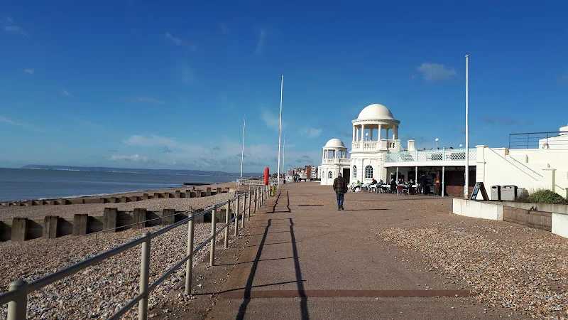
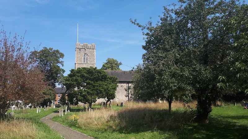
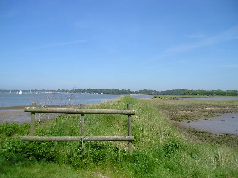
A 10 mile circular walk through the Suffolk Coastal Area of Outstanding Natural Beauty taking in Sizewell and the Minsmere Bird Reserve
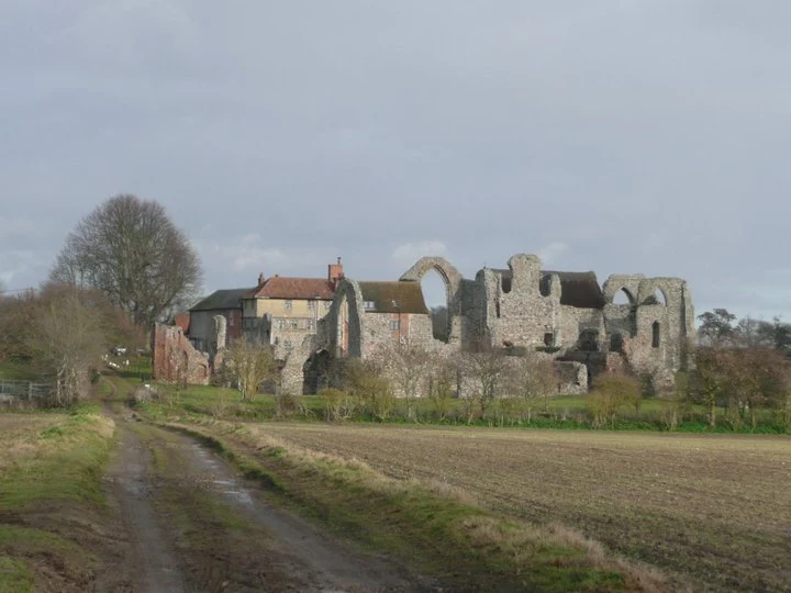
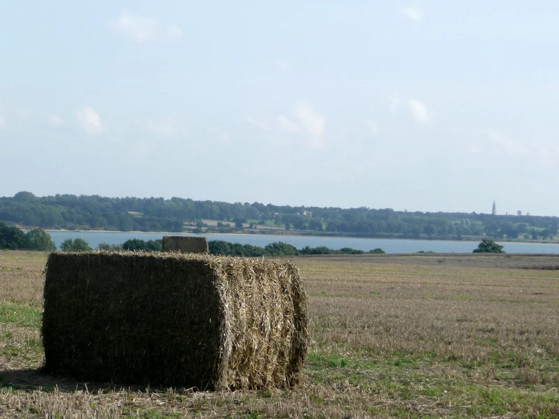
One does not have to have an enthusiasm for ornithology to enjoy this walk. The natural surroundings of marshland and heathland are enough to inspire everyone and there is a lot of associated history along this route which dates back to the 12th century when Leiston Abbey once occupied an island in the marshes. Note that charges apply to the Minsmere section.