I have no doubt that this is the least walked section of the Suffolk Coast Path. It is an extensive hike with little public transport apart from at either end of the walk with only one bus in each direction each weekday that passes through Snape. This means once you start the walk, you are committed to its length unless you have an accomplice to pick you up from Shingle Street or are equipped with camping gear when there is a site off route at Hollesley. Even when Bawdsey is reached, the ferry has to be running in order to get across the Deben where civilisation is reached, then its another couple of miles to get the buses into Ipswich. However, taking these restrictions into account one can catch the early Anglian bus from Leiston to Snape then return from Felixstowe via Ipswich.
The first time I walked this section was back in 2007 on a sunny summers day in August. On that occasion the only people I saw throughout the entire distance was a couple by the Martello Tower at Shingle Street. The rest of the distance was in complete solitude and despite the summer weather the morning dew was laden on the overgrown grass of the river defences which completely soaked my trousers, boots, socks. There was no good in appealing to the gods because out here in this remote part of Suffolk, no-one can hear you. As usual, I was prepared, and a fresh pair of socks got me through the remaining distance.
On this occasion, accompanied by Kat, we encountered a few more people; a couple of dog walkers in Tunstall Forest, a pallid figure huddled by the ruins of a brick building by the banks of the Butley River, glaring out across the waters. He never spoke. We never spoke. At Shingle Street we encountered several groups of teenagers with hiking packs who were heading off in different directions, undertaking some orienteering exercises. There was clearly debates going on between them about the route to take, and exactly where they were on the OS maps they were pointing definitive fingers at. Even so, what a great way to spend teenage years. Out in the wilds, learning map-reading.
A little later, a couple with a dog crossed the path and headed up a footpath to Alderton. Apart from these brief encounters, the bulk of the walk was as expected, alone with nothing but the grey clouds, brisk winds and stark landscape for company. This wind was putting white horses on the choppy old sea giving that annoying doubt that maybe the Bawdsey Ferry would not be operating in such conditions. Then we would be stuck. An additional 10-15 miles to get to public transport! Fortunately this was not the case and there were a crowd of people waiting for the ferry. On quieter occasions the ferry has to be hailed by waving the provided bat in the air.
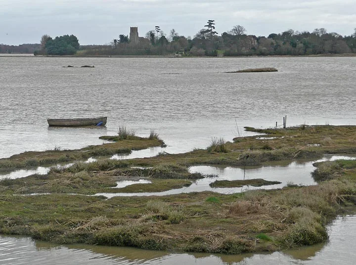
I still contest that there is an air of foreboding throughout this walk. I am not sure what generates this feeling. The solitude. The silence. The desolate marshes. The mysterious Burrow Hill looming oddly above the marshes. The concrete structures that stand ominously on Boyton Marshes. The empty hut where the Butley Ferry should depart. The discarded rowing boat on Simpson's Saltings. The omnipresent Orfordness lighthouse lurking in the distance, standing clear above the secretive concrete Pagodas that are silhouetted on the horizon. This part of the coast is full of the ghosts of conflicts of days gone by. WWII pill boxes, the Bawdsey gun battery, the Line of Martello Towers. Then amid this length of marshy desolate coastline is the beach-side hamlet of Shingle Street. A place full of untold secrets, rumours and stories unearthed over the years about what really went happened during the 1940's. The tales of burnt German bodies and the rumours of setting the sea alight to ward off a German invasion.
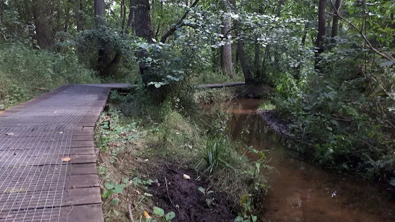
Despite all of this it is a part of the Suffolk Coast Path that is well worth exploring. Its desolate nature is its beauty. The solitude is its charm. The ghostly secrets are its heritage and today's fascination. And there is also Tunstall forest which is a complete contrast from the coastal section and the curious Burrow Hill which used to be an island in the Butley River estuary and some say is an ancient Saxon burial mound. There is no specific place to take a rest, so one has to make do with whatever comes along. Close to Hollesley there is a pillbox sinking into the ground and this provides an apt place to climb on its roof and sit down and gaze across the landscape. An experience and savour.
Whilst researching some of the background to this walk I came across a reference to a long line of white shells stretching across the shingle at Shingle Street. The formation was made and by a lady of the name Lida Kindersley who survived cancer and created the line as a mark of thanks. She still maintains its upkeep, fixing breaks caused by walkers, tide and weather. This is something to look out for another day, but reference to it can be found at Brianhuman's Blog
At the Bawdesy end of this route there has been some considerable erosion over the years. At the point of the old WWII gun battery the erosion has taken land right up to Rose cottage and the Martello Tower that lay just beyond East Lane. Rock defences have been placed along the cliffs in an attempt to arrest the erosion. There is no access along the beach here at any state of the tide and one has to navigate inland up East Lane to the road down to Bawdsey. There was access back to the beach along a track just past Bawdsey Hall, but this has now been prevented by more erosion and one has to walk through to Bawdsey ferry via the road.


