England Coast Path - Boston to Mablethorpe
Friday, 15 May 2026
|
No comments
|
![]()

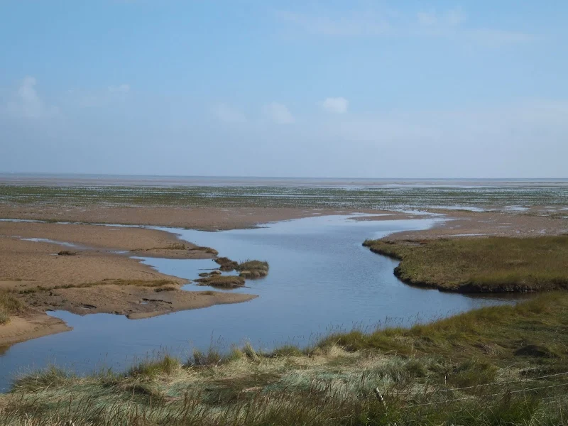
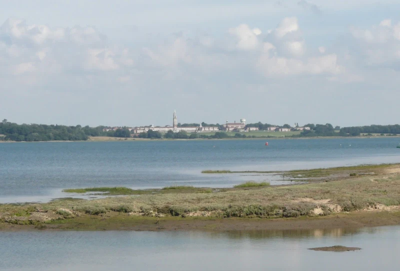
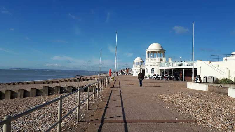
The England Coast Path, Lincolnshire section between Boston and Mablethorpe
This 45 mile section of the England Coast Path between Boston and Mablethorpe along the Lincolnshire Coast. A truly flat landscape throughout the entire walk, with the first part through to Skegness along river and sea banks, and the second section through to Mablethorpe following the coastal side of the resorts interspersed with dune, beach and promenade.