Lincolnshire Coast Path
Tuesday, 1 January 2019
|
No comments
|
![]()

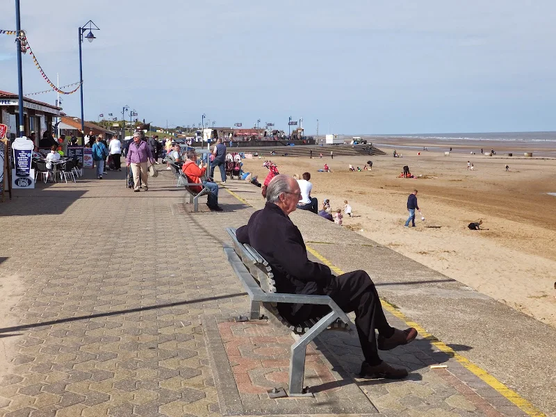
An overview of a possible route for a Lincolnshire Coast Path
There is currently no official Lincolnshire Coast Path although Natural England are committed to having something in place as part of the English Coast Path by 2020. This overview details the current possible routes taken from research conducted into a walk between Cleethorpes and Boston during September 2014

Walk Statistics
- Start location: Barton-on-Humber
- End location: Boston
- Distance: miles ( km)
- Total Gain: ft ( metre)
- Total Descent: ft ( metre)
- Min Height: ft ( metre)
- Max Height: ft ( metre)
- Est. Walk Time:
- Walk type: Linear
- Walk Grade: Easy walking with some lengthy sections
- Terrain: The walking is on level flat ground using public footpaths, permissive paths and country lanes. Some small sections on busy roads
- Obstacles: There are several areas where the route passes military ranges. Always adhere to warning signs and never access such areas when red flags are flying. Do not touch any military items.

Maps
The following maps and services can assist in navigating this route. There are links to printed maps and links to downloadable GPX route data for importing into navigational software and apps.
- Ordnance Survey Explorer Map
- OS Explorer 261 - Boston
- Ordnance Survey Explorer Map
- OS Explorer 274 - Skegness, Alford & Spilsby
- Ordnance Survey Explorer Map
- OS Explorer 283 - Louth & Mablethorpe
- Ordnance Survey Explorer Map
- OS Explorer 284 - Grimsby, Cleethorpes & Immingham
- GPX Route File
Walk Notes
There is no official Lincolnshire Coast Path although Natural England have stated that it expects the England Coast Path, which will include this section of coast, to be completed by the year 2020. For latest updates about this section of the England Coast Path see the Government website pages England Coast Path in the north east of England and the England Coast Path in the east of England
Despite the lack of an official path, there is public access around much of the coastline of Lincolnshire with a mixture of footpaths, cycletracks, permissive paths and beaches. There is little in the way of having to negotiate any busy roads although some country lanes are included. The terrain is flat. Very flat. Therefore the walking is easy although the many flood defence banks can be tough on the soles of the feet.
The information on this page was garnered during the investigation for 5 days of walking between Grimsby and Boston. During this research an additional section between Barton-on-Humber and Grimsby was also added as a contingency plan although this has yet to be walked. The walks with full details of directions, features and pubs are included on this site are links to each section appear at the bottom of this page. This overview serves as a guide to any walker who has the intention of walking the Lincolnshire Coast. Other routes may be accessible and where research was undertaken such alternatives are listed.
The route can be broken down into distinct sections determined by the terrain that they cover. These are listed below.
Barton-on-Humber to Immingham: The OS Map details a footpath along the banks of the River Humber. Such a walk is described on Dave Higgins website of his round Britain coast walk Immingham to Barton-upon-Humber page where he completed this section in July 2014. This has yet to be undertaken as part of Griffmonsters Walks.
Immingham to Cleethorpes: There is a mixture of footpaths and cyclepaths with the addition of some road walking for this section. This is detailed on Dave Higgins website of his round Britain coast walk Humberston to Immingham with this section undertaken in July 2014. This has yet to be undertaken as part of Griffmonsters Walks
Cleethorpes to Donna Nook: A seafront walkway leads through to Humberston from where public footpaths follow the defence banks around the Humber Fitties marshes. Where the path meets the Waith Beck/Louth Canal watercourse there is a bridge although there is no public access indicated on the OS map. Nonetheless there is a style to allow walkers across the bridge and no signage to indicate that one cannot proceed. The section from the bridge, along the defence bank through to Horseshoe Point is a permissive path over land owned by the Humber and North Lincolnshire Wildfowlers Club and managed in conjunction with Natural England. Reports a few years ago detail that this section was closed to the public. This appears to have been for defence bank works and the path was certainly accessible during September 2014. Beyond Horseshoe Point a public footpath continues along the defence banks through to Donna Nook. Not indicated on current OS maps is the new defence bank that has been built on the land adjoining Pyes Farm, inland from the original defence bank. This was part of a coastal realignment project proposed in 2009 and completed in 2012. The scheme included breaching the existing defence bank in order to flood the land at high tides. There is no signage at the junction of this new defence bank although a new gate had been included. It is stressed that proceeding along the original route may find ones path blocked at the breaches during a state of high tide therefore this new route is the preferably way forward.
Donna Nook to Saltfleet: There is currently no official public access along the coastal route which consists of dunes and marsh. A military range occupies the marshland directly in front of the Donna Nook dunes and continues around to Saltfleet. There is a small concrete observation post at Donna Nook and it was here that a Qinetiq employee was advising the public during the Griffmonster Walk of this section. Red flags were flying indicating the military range was in use and I guess this chap was making sure no-one strayed onto the marsh. He was a good source for access information, stating that although there is no public footpath, it is possible for the public to walk around the coastal section through to Saltfleet. The route navigates around two more concrete observation posts but beyond this there is no clearly defined path and no landmarks and it is therefore easy to become disorientated. The main advice was keep well away from the marsh and the military areas. The chap warned that it takes care, patience and time to walk the route but it is achievable. However, on reflection that our days walk was to end in Mablethorpe, and with the limited amount of light left in the day, he strongly advised against this route and to take the road into North Somercoates and follow this around to Saltfleet.
The road route has a key advantage in the fact that North Somercoates boasts both a pub that is open all day and a small convenience store. This is the first opportunity that one can find refreshment and supplies after leaving Cleethorpes. It is worth noting the the Bay Horse Inn, for which there is a hand written sign pointing to it at the end of the road, is currently closed. The Axe and Cleaver pub can be found by turning right at the end of the road and follow the road around and down to the junction with the main road where the pub is found directly opposite.
To continue onto Saltfleet, take the main road through the village. There is pavement through to the end of the Lakeside Holiday Park and a broad trimmed verge to walk along in front of the park after which one needs to navigate along the road. However beyond Skidbrooke Farm there is a track on the left which leads down to another track on the right that provides more suitable walking access into Saltfleet. Although this is not indicated as a public right of way on the OS map, there is nothing to denote that this cannot be walked.
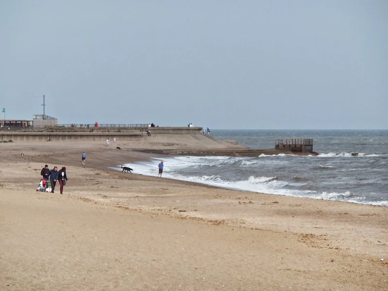
Saltfleet to Mablethorpe: There is a well defined public footpath through the dunes up to the car park just beyond Theddlethorpe. This is an outstanding section and worthy walk in its own right. There is a path beyond the Theddlethorpe car park but this is not well defined. On the September 2014 walk we encountered a wire fence that laterally straddled the dunes forcing the walker down onto the beach. The beach at all but high tide has a broad expanse of firm sand which makes for very easy walking all the way through to Mablethorpe. Even at high tide access is possible to walk the beach although the softer sand makes it hard going. Note that the beach and marsh area between Saltfleet and Theddlethorpe is a military range with no access.
Mablethorpe to Chapel St Leonards: A broad promenade leads out of Mablethorpe and continues past Sutton-on-Sea. There is a path beyond this to Sandilands and almost through to Anderby Creek. The section from Anderby Creek to Chapel St Leonards is best negotiated on the beach if the tide is not high where there is a broad expanse of firm sand. The whole section from Mablethorpe to Chapel St Leonards can be undertaken in this manner. With a high tide, there is sand to walk on but this is hard going as it is loose and soft. Alternatives for the last few miles would be to either use the road the landward side of the dunes or attempt to find a path through the dunes.
Chapel St Leonards to Skegness: A broad promenade is presented throughout the majority of this section. The exception is a short stage south of Seathorne. At this point there is a golf course which does have a path along its seaward perimeter. There are signs at the paths entry points indicating that this is not a public footpath and dissolving all responsibility for those 'trespassers' who are inclined to use it. There is nothing that strictly warns people to keep out and plenty of walkers appear to use the route. There are old fences at the access points but these are in a bad state of repair and access is simply stepping over onto the path. At the far end of the golf course a promenade continues into Skegness.
Skegness to Wainfleet: There is no direct public access between these two points other than walking along the main Boston to Skegness A52 road. This is a very busy highway and it is strongly advised not to walk this. An alternative route would be to head inland and such a walk is detailed in the PDF available from The Lincs Marsh Walks Website.
To the south of Skegness is Gibraltar Point which is renowned for its views across the Wash. A road provides access from Skegness and the OS map depicts access roads between this and the main road into Wainfleet. However, on the ground, these are each clearly marked with notices that point out that they are across private land and there is no public access for either vehicles or walkers. It is therefore not advisable to use such a route which may result in altercations with the landowners.
A more scenic route to Gibraltar Point is to use the beach route. On the Griffmonster Walk for this section it was close to high tide and we found the final yards cut off from the Point by water filled inlets which were impassable. In order to get around this one would need to head across the dunes to the road at Seacroft. I would guess that given a low tide the beach route is passable all the way through to the Point although this assumption needs qualification.
For determined coastal walkers it is possible to miss out Wainfleet and continue along the defence banks all the way through to Boston. Such a walk is detailed in David Cottons Coast Walk for this section. However there is a major obstacle to overcome, namely crossing the River Steeping just beyond Gibraltar Point. There is a bridge, but as David Cotton points out in his 2002 Coast Walk, locked high metal gates prevent access and unless you find a local with a key who is willing to open them up, then it requires scaling the gates which David relates as 'a fairly dangerous manoeuvre, and one that I would not recommend anyone to do'. I would guess this is not strictly legal either. More recently the proposal for the England Coast Path is to open up public access across this bridge and then along the defence banks all the way through to Boston. For further details see Sutton Bridge to Skegness section of the England Coast Path
Wainfleet to Boston: Access to the defence bank from Wainfleet is down a public road. Unfortunately at this point it is not marked as a public right of way on OS maps. A public footpath starts on the inner defence bank which can be accessed down Sea Lane out of Friskney. Paths then follow the defence banks to The Haven and up into Boston. This is a lengthy section of long straight defence banks with The Wash on one side and acres of flat arable land on the other presenting a monotonous view. Many coast walkers have described this section as being somewhat tedious, and when sea mist or fog restrict the views it makes the going very weary.
As part of the Griffmonster Walks, given the misty conditions at the time, an alternative route was sought out using footpaths and country lanes for this section. This gave a more varied and interesting walk despite the sea mist. There are numerous hamlets and villages together with large churches and many village pubs, although it is worth noting that many of the pubs have limited opening hours, restricting lunchtime opening from Thursdays to Sundays. The other key advantage is that public transport is accessible throughout this route providing adequate means of tailoring the walk distance to ones ability or time-scales. Full details can be found on the web page for this walk (coming soon)
Beyond Boston: see Coast Path Around the Wash.
Transport
Lincolnshire offers an Interconnect bus service which is run by Stagecoach and connects Grimsby, Mablethorpe, Skegness and Boston. It is recommended that one uses the Traveline website for al journey planning to take into account the latest operators and services. This is a useful facility for sectional walks. It must be noted there is little in the way of public transport on the 20+ miles between Cleethorpes and Mablethorpe and as such this walk is best accomplished in a single attempt.
Refreshments
There are numerous pubs, particularly on the Wainfleet to Boston section along with Bateman's Brewery at Wainfleet which is well worth visiting and has a public bar to savour their wares. The coastal section between Mablethorpe and Skegness is inundated by a multitude of holiday camps and caravan parks and has many bars and cafes along the seafront route. Unfortunately for the real ale enthusiast there is little on offer at these establishments, they seemingly cater for the drinker whose habits are dictated by the cheapest keg beers available. It is worth noting that there is a brew pub at Ingoldmells which can be found by following the road inland at Ingoldmells Point. Keep to the straight road all the way down to where there is a sharp right turn and the Leila brew pub is just around the corner.
Accommodation
With the many camp and caravan sites on this coast there is plenty to choose from.
Directions
The route overview is described in the notes
Full details can be found on individual walk pages on this site
Links and Bibliography:
- Traveline website for public transport planning
- Alternative inland route between Skegness and Wainfleet (PDF format
- Saltfleet to Theddlethorpe Dunes leaflet (PDF format)
- Adrian Everex Coast Walk blog - more pages also available
- Dave Higgins Coast Walk blog - more pages also available
- David Cottons British Walks website - more pages also available
Walks around The Lincolnshire Coast Path
An index of the walks around the long distance path of The Lincolnshire Coast Path that are contained on this site. Each walk details pubs en route, transport linking start and end and features to look out for.
Image Gallery


Summary of Document Changes
Last Updated: 2026-04-20
- 2014-09-27 : Initial publication
- 2019-01-01 : General website updates plus additional information from the England Coast Path proposals
- 2021-03-17 : Update website improvements and removal of ViewRanger reliance
- 2021-12-01 : Removal of ViewRanger links due to its imminent demise
- 2026-01-12 : Major website update with all walks recast to the new format


0 comments:
Post a Comment