Route details, maps, pubs, features, local history and folklore for a wide variety of walks focusing primarily on Norfolk and Suffolk

Lincolnshire Walks
Showing posts with label Lincolnshire. Show all posts

Saturday, 15 May 2021

England Coast Path - Mablethorpe to Humber Bridge

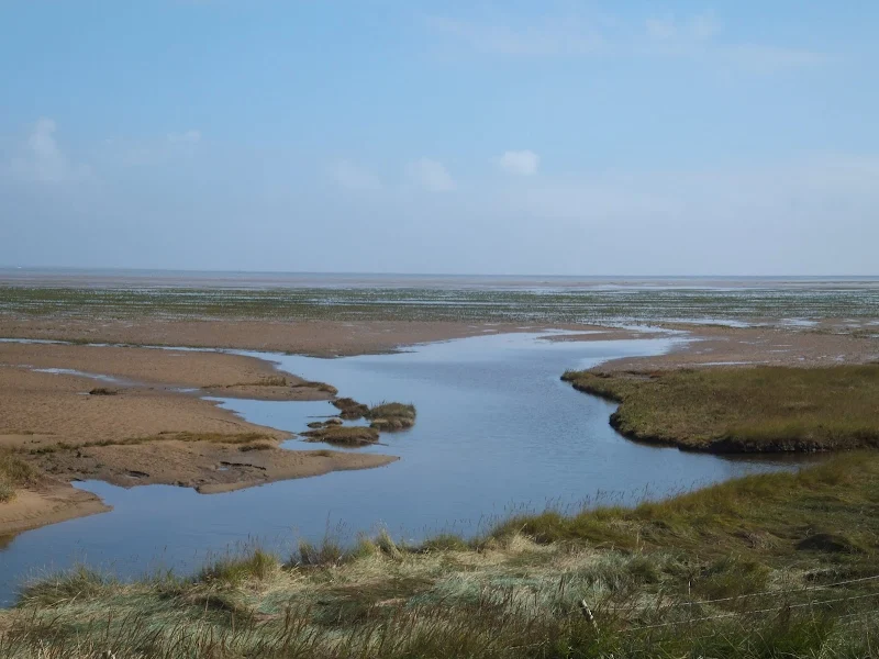
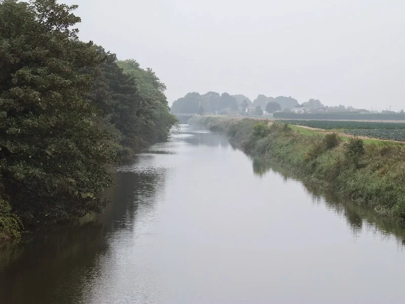
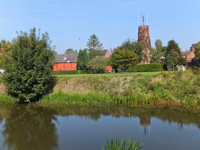
The England Coast Path section along the Lincolnshire coast between Mablethorpe to Humber BridgeThe proposed route of the England Coast Path between Mablethorpe to Humber Bridge. It should be noted that this route is still in the process of determination by Natural England although much of the route...

Wednesday, 18 December 2019

Lincolnshire Coast Path - Cleethorpes to Mablethorpe

A 23 mile walk along the Lincolnshire Coast between Cleethorpes and MablethorpeAlthough a Lincolnshire Coast Path has yet to be established, this walk sets out a viable route for all budding coast walkers. This follows defence banks and permissive paths with a little road walking where necessary....

Tuesday, 17 December 2019

Lincolnshire Coast Path - Boston to Wrangle

An 10 mile beach walk from Boston to WrangleAn alternative route to the coastal defence banks that provides a change to the marsh views. Open flat farmland, tiny hamlets, large churches and plenty of pubs along the way. Not strictly part of a coast path but this route roughly follows the coast of medieval...

Monday, 16 December 2019

Walk Around the Wash - Boston to Fosdyke

An 11 mile along the sea defence banks from Boston to FosdykeThis walks follows the start of the Macmillan Way as the first stage of the walk around the Wash. The route follows the Haven river before heading down to Fosdyke bridge on the River Welland. The walk is typified with acres of flat marsh,...

Sunday, 20 January 2019

Walk Around the Wash - Fosdyke to Sutton Bridge

An 18 mile along the sea defence banks from Fosdyke to Sutton BridgeA fairly extensive walk into the wide open expanse of the Wash along defence banks that lead the way around the extremities of the reclaimed land. It is awe-inspiring, it is remote. An RAF bombing range occupies a length of the furthermost...

Tuesday, 1 January 2019

Lincolnshire Coast Path

An overview of a possible route for a Lincolnshire Coast Path There is currently no official Lincolnshire Coast Path although Natural England are committed to having something in place as part of the English Coast Path by 2020. This overview details the current possible routes taken from research conducted...

Saturday, 15 December 2018

Lincolnshire Coast Path - Skegness to Gibraltar Point

A 7.5 mile beach walk from Skegness to Gibraltar PointGibraltar Point, with its Nature Reserve, Visitor Centre and Wash Study Centre can be accessed via a dedicated road from Skegness town centre. This walk attempts to access the Point by way of the beach. It is imperative that one heeds the tide times...

Lincolnshire Coast Path - Skegness to Mablethorpe

A 15.5 mile beach walk along the Lincolnshire Coast between Skegness and MablethorpeThis walk follows the coastline using the proms and the beach throughout. An excellent beach walk by all accounts with acres of sand and under wide open skies. One cant really get lost, just keep the sea on the right,...

Thursday, 6 December 2018

Walk Around the Wash - Sutton Bridge to West Lynn

The 14 miles Peter Scott Walk from Sutton Bridge to West Lynn, crossing the border from Lincolnshire to NorfolkLeaving Sutton Bridge, this renowned walk heads down to the lighthouse made famous by the wildfowler turned conservationist Peter Scott. Few folk venture beyond this but those that do the full...

Wednesday, 5 December 2018

Coast Path around The Wash

An overview of a walk around the Wash from Boston to Kings Lynn Three rivers flow out into the Wash, namely the Welland, the Nene and The Ouse. Public footpaths follow the defence banks that border these rivers and the marshes that adjoin the coastline in between. The A17 provides bridges across these...

Tuesday, 20 November 2018

Lincolnshire Coast Path - Wrangle to Wainfleet

An 7.5 mile beach walk from Wrangle to WainfleetAn alternative route to the coastal defence banks that provides a little more interest. Open flat farmland, tiny hamlets and a long straight footpath that was once thought to have been a Roman road. The end of the walk is at Batemans Brewery where a worthy...

Walk Summaries

Latest walk summaries are basic information sheets for walks that have yet to be fully documented. These provide links to maps, public transport and walks stats, although detailed notes and features are not included.

Latest Walk Summaries

Featured Walk

In Search of Sizewell Chapel

A 10 mile walk following the southern side of the parish boundary of Leiston in Suffolk This walk follows the route of a 17th century peramb...

What is GPX

All you need to know about GPX, electronic mapping and how to use modern apps and mobile devices as navigation devices

Popular Walks

Maps