Route details, maps, pubs, features, local history and folklore for a wide variety of walks focusing primarily on Norfolk and Suffolk

Walks
Showing posts sorted by relevance for query Sweffling. Sort by date Show all posts

Sunday, 29 July 2018

Sweffling Circular Walk Summary
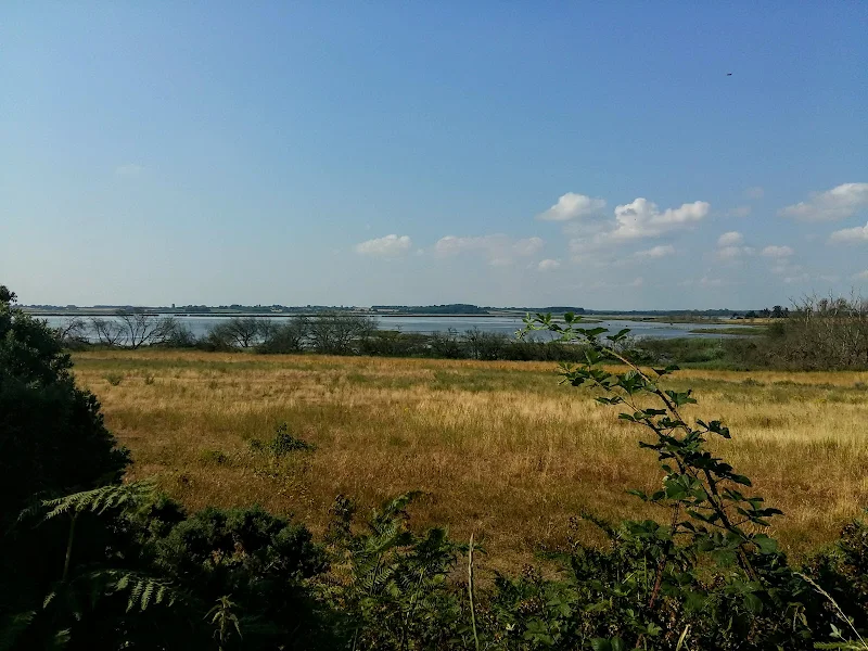
Salt marsh

Short circular walk through the Suffolk countryside around the village of Sweffling

A walk around some outstanding Suffolk countryside following the Alde valley south of Sweffling, starting and ending at the Sweffling White Horse pub. There is history too! As well as the many windmills that once sat on the ridge above the valley, the area also boasts a connection with the legends of St Edmund. A tale related by a 14th century manuscript tells of how Edmund defeated his enemies at a place known as Dernford. Although there is no evidence of exactly where this was, some attest that the site was south of Sweffling where Dernford Hall is located.

If you view the Sweffling village sign, on the upright is a heart pierced by a sword, which I am told is the representation of Edmunds victory in the battle.

Tuesday, 19 November 2019

Sweffling Circular Walk 2

Salt marsh

Short circular walk through the Suffolk countryside around the village of Sweffling

The second circular walk that starts and ends at the Sweffling White Horse pub. This leads the rambler across river valley, woodland and some amazing Suffolk countryside. This is a perfect way to spend a Sunday morning, ending up with a pint and some lunch at the pub which really is a traditional old local with a tap room full of local ales.

Monday, 17 February 2020

Alde Valley Walk - Sweffling to Badingham

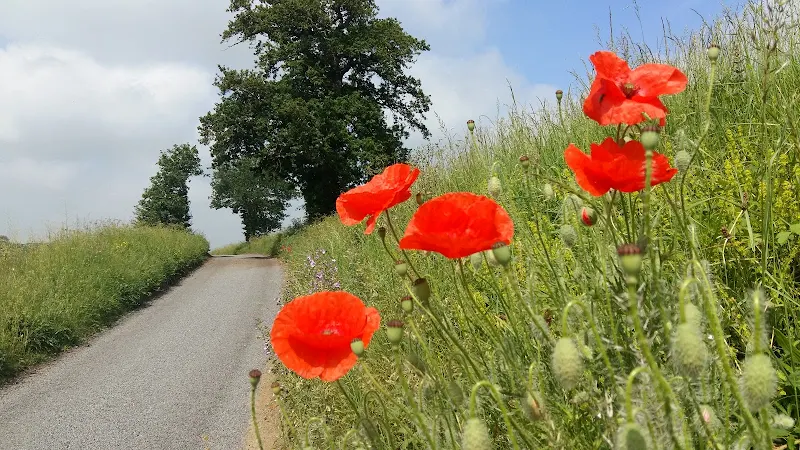
more Suffolk countryside

A circular walk through the quintessential Suffolk countryside following the River Alde

A circular walk following country lanes with a few footpaths along the Alde Valley. This is typical Suffolk countryside where one can take a lazy stroll. There are pubs to visit, three to be precise and all named the White Horse, along with three churches that are not named the White Horse!

Thursday, 3 January 2019

Tracks and lanes to Glemham

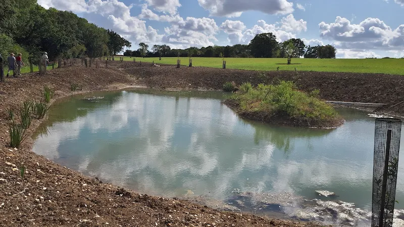
Benhall Ford

A 22 mile route that can be either walked or cycled through the Suffolk countryside around Snape, Blaxhall and Glenham

A glorious route through the Suffolk countryside using a mixture of lanes, tracks, bridleways and little used country roads. This can be either walked or cycled and provides a full days outing taking in the picturesque villages of Snape, Blaxhall, Little Glemham, Great Glemham and Benhall which these days is split into two with the A12 separating Benhall Low Street from Benhall Green. Along the route is the Parham Airfield Museum, although this is only open on Sundays between April to October.

Sunday, 29 July 2018

Leiston to Hazlewood Circular Walk Summary

Salt marsh

A somewhat challenging circular walk to Suffolks ancient parish of Hazlewood

Hazlewood was an ancient parish that bordered the River Alde in the Plomsgate Hundred of Suffolk. In 1934 it was annexed with the neighbouring parishes of Friston and Aldeburgh although names in the landscape still bear testament to its existence, including Hazlewood Common, the ultimate destination of this walk.

This is a challenging walk in respect of 20 yards of jungle to navigate through in order to get to The Grange farmhouse. Navigation of this neglected footpath does involve crawling on all fours as well as climbing across fallen trees. Not a walk for the feint hearted.

This challenge borders a field which was part of a WWI airfield that was in operation between October 1915 and September 1919. Known locally as Hazlewood Aerodrome, this grass airstrip was one of several support sites for RNAS Great Yarmouth and served as a night landing ground. It was also used by aircraft responding to Zeppelin raids. Little remains of the site as all support buildings have now either been demolished or collapsed although there is reputedly some concrete footings that can still be seen.

Other features on this route are the ancient Great Wood and some post medieval quarries. Return is across Aldringham Common where the former Aldringham Providence Baptist Chapel can be seen. Built in 1812, this chapel hidden away on the common was replaced in 1915 with a design by the Suffolk architect, poet and artist, Cecil Howard Lay. It has since been converted into a private residence.

Saturday, 25 January 2020

Saxmundham to Rendham Circular Walk

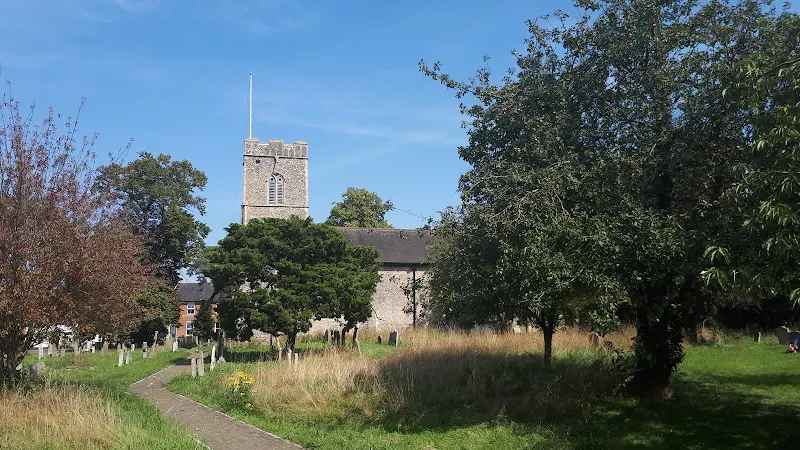
Rendham church

Circular Walk between Saxmundham and the village of Rendham

Six mile circular walk across the Suffolk countryside with a worthy stop off at the White Horse pub at Rendham. Woodland, open fields, babbling brooks make this typical of this part of Suffolk. And there is history to, with the Roman bronze head being discovered in the river at Rendham back in 1907. How did it get there?

Walk Summaries

Latest walk summaries are basic information sheets for walks that have yet to be fully documented. These provide links to maps, public transport and walks stats, although detailed notes and features are not included.

Latest Walk Summaries

Featured Walk

In Search of Sizewell Chapel

A 10 mile walk following the southern side of the parish boundary of Leiston in Suffolk This walk follows the route of a 17th century peramb...

What is GPX

All you need to know about GPX, electronic mapping and how to use modern apps and mobile devices as navigation devices

Popular Walks

Maps