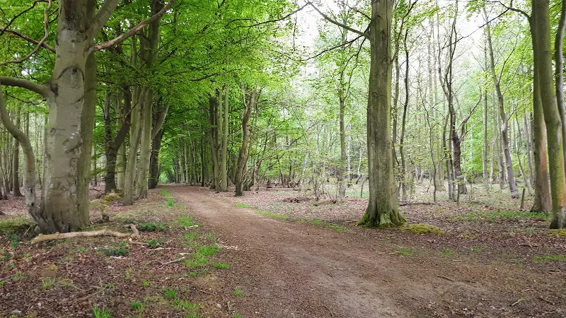
Bittern Line Walk - North Walsham to Worstead
A walk liing the Bittern Line stations of NorthWalsham and Worstead
This route follows the Dilham Canal to make a pleasurable walk between the stations of North Walsham and Worstead.

Monday, 28 February 2022
|
No comments |
A walk liing the Bittern Line stations of NorthWalsham and Worstead
This route follows the Dilham Canal to make a pleasurable walk between the stations of North Walsham and Worstead.

|
No comments |
A walk linking the Bittern Line stations of Worstead and Wroxham
This route cuts across to Tunstead and then onto the Bure Valley railway to lead down to Wroxham

Saturday, 28 April 2018
|
3 comments |
A simple 2.5 mile walk alongside the River Wensum through Norwich.
This picturesque walk through the centre of Norwich links the Marriott's Way at Barn Road roundabout on the inner ring road with The Wherryman's Way and Boudicca Way at Norwich Railway Station. There is a lot of history to the bridges over the River Wensom and associated folklore which is detailed in the features to this walk.

Sunday, 24 January 2021
|
No comments |

An 11 mile walk linking the Bittern Line stations of North Walsham and Wroxham
A rewarding days walk through the Norfolk countryside that links the railway stations of North Walsham and Wroxham. The route passes across an historic battleground, through woodland, encountering picturesque hamlets and village churches along the way. The end section uses the Bure Valley Railway path that follows the narrow gauge steam railway past Coltishall and down to Wroxham station.

A 9 mile circular walk along the North Norfolk Coast between Holkham and Wells-next-the-sea An alternative to the North Norfolk Coast Path, ...
View Route & GPXA 9 mile walk following the Cleveland Way between Saltburn and Staithes This walk passes over the highest point on the east coast of England...
View Route & GPXA simple 3.5 mile walk along side the North Yorkshire Moors Railway Amazing scenery with the sounds of steam engines chugging up the gradien...
View Route & GPX
An easy 8 mile Norfolk coastal walk along beach and clifftops between Sheringham and Cromer The Norfolk Coast Path was rerouted in 2014 as ...
View Route & GPXRiverside walk to the Geldeston Locks pub A scenic riverside walk linking Beccles with the historic Geldeston Locks pub, this route offers m...
View Route & GPXA 12 mile walk following the Cleveland Way between Staithes and Whitby A fabulous walk along the Yorkshire coast. Amazing views and not too ...
View Route & GPXAn exhilarating 12 mile coastal walk along the Suffolk Coast. The Suffolk Coast Path runs between Lowestoft and Southwold but due to coas...
View Route & GPXA 6 mile walk along the original route of the Norfolk Coast Path between Cromer and Sheringham Up until December 2014 the official route of ...
View Route & GPX
A 14 mile coastal walk between Gorleston and Kessingland crossing the border from Norfolk to Suffolk This mighty fine walk takes the avid ra...
View Route & GPX
An easy walk to Talybont Reservoir in the Brecon Beacons along the old tramway This route details a circular walk from the village of Talybo...
View Route & GPX