Route details, maps, pubs, features, local history and folklore for a wide variety of walks focusing primarily on Norfolk and Suffolk

Walks
Showing posts sorted by date for query Blickling. Sort by relevance Show all posts

Sunday, 23 February 2020

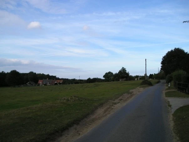
The Angles Way - Wortwell to Earsham

An 8.75 mile walk along the Angles Way from Wortwell to EarshamIt is not often that a country ramble coincides with a Brewery visit. On this route there are two, the historic St Peters brewery and the Waveney Brewing Company based at the Queens Head pub in Earsham. Although St Peters is a little off...

Sunday, 5 January 2020

Wroxham to Norwich via Spixworth

A 10 mile linear walk between Wroxham and NorwichWalk linking the Bittern Railway Line stations of Wroxham and Norwich. The route cuts across to Spixworth using tracks and country lanes from where there is pedestrian access through to the centre of Norwich. Spixworth has an interesting history of folklore...

Wednesday, 18 December 2019

Weavers Way - Cromer to Aylsham

A 17 mile walk along Norfolk's Weavers Way from Cromer to AylshamHistoric halls, stately homes and ancient commons and villages are what typifies this northern section of the Weavers Way. This really is a typical old English scene throughout making a most pleasurable all day walk. There are numerous...

Bure River Walk from Coltishall to Brampton

An easy and captivating walk along Norfolks River BureNot only does this walk provide some classic Norfolk scenery and historic features but it also traces the route said to be taken by the phantom carriage of Sir Thomas Boleyn in his annual act of penance for betraying his daughter Anne when she was...

Saturday, 29 December 2018

Weavers Way - North Walsham to Cromer

A 23 mile walk along the Weavers Way from North Walsham to CromerStarting along the old M&GN railway trackbed to Aylsham, the path soon heads off across country passing by the Halls at Blickling, Felbrigg and Cromer as well winding its way through the picturesque villages of Aldborough, Hanworth...

Tuesday, 27 November 2018

The Weavers Way

An overview of the The Weavers Way, a 60 mile long distance footpath through Norfolk linking Cromer and Great Yarmouth.The Weavers Way takes its name from the cottage weaving industry that established itself during Middle Ages around the North Walsham area. The path is characterised by the various sections...

Walk Summaries

Latest walk summaries are basic information sheets for walks that have yet to be fully documented. These provide links to maps, public transport and walks stats, although detailed notes and features are not included.

Latest Walk Summaries

Featured Walk

In Search of Sizewell Chapel

A 10 mile walk following the southern side of the parish boundary of Leiston in Suffolk This walk follows the route of a 17th century peramb...

What is GPX

All you need to know about GPX, electronic mapping and how to use modern apps and mobile devices as navigation devices

Popular Walks

Maps