Walks
Showing posts sorted by date for query Worstead. Sort by relevance Show all posts
Monday, 28 February 2022
, ">
Worstead to Wroxham
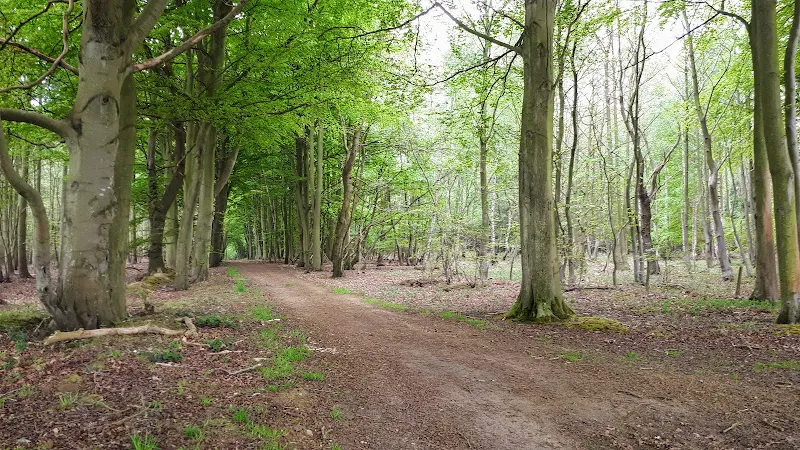
A walk linking the Bittern Line stations of Worstead and WroxhamThis route cuts across to Tunstead and then onto the Bure Valley railway to lead down to Wroxham...
Sunday, 24 January 2021
Bittern Line Walk - North Walsham to Wroxham
Author: Griffmonster |
Sunday, 24 January 2021
|
No comments |

An 11 mile walk linking the Bittern Line stations of North Walsham and WroxhamA rewarding days walk through the Norfolk countryside that links the railway stations of North Walsham and Wroxham. The route passes across an historic battleground, through woodland, encountering picturesque hamlets and village...
Saturday, 28 April 2018
Norwich Riverside Walk
Author: Griffmonster |
Saturday, 28 April 2018
|
4 comments |
A simple 2.5 mile walk alongside the River Wensum through Norwich. This picturesque walk through the centre of Norwich links the Marriott's Way at Barn Road roundabout on the inner ring road with The Wherryman's Way and Boudicca Way at Norwich Railway Station. There is a lot of history to the bridges...
Indexes and Info
Walk Summaries
Latest walk summaries are basic information sheets for walks that have yet to be fully documented. These provide links to maps, public transport and walks stats, although detailed notes and features are not included.
Featured Walk
In Search of Sizewell Chapel
A 10 mile walk following the southern side of the parish boundary of Leiston in Suffolk This walk follows the route of a 17th century peramb...

What is GPX
All you need to know about GPX, electronic mapping and how to use modern apps and mobile devices as navigation devices
Popular Walks
-
A 9 mile circular walk along the North Norfolk Coast between Holkham and Wells-next-the-sea An alternative to the North Norfolk Coast Path, ...
-
A simple 3.5 mile walk along side the North Yorkshire Moors Railway Amazing scenery with the sounds of steam engines chugging up the gradien...
-
A 9 mile walk following the Cleveland Way between Saltburn and Staithes This walk passes over the highest point on the east coast of England...
-
A 12 mile walk following the Cleveland Way between Staithes and Whitby A fabulous walk along the Yorkshire coast. Amazing views and not too ...
-
An 9 mile walk along the South West Coast Path between Port Isaac and Polzeath A stunning walk that is not too challenging. It starts at the...
-
An easy 8 mile Norfolk coastal walk along beach and clifftops between Sheringham and Cromer The Norfolk Coast Path was rerouted in 2014 as p...
-
Lowestoft to Southwold Beach Route An exhilarating 12 mile coastal walk along the Suffolk Coast. The Suffolk Coast Path runs between Lo...
-
A 10 mile walk along the South West Coast Path between Brixham and Kingswear. This section is one of the most strenuous walks along the Exmo...
-
A 15 mile circular walk along the Sandlings footpath between Dunwich and Southwold, with an option of returning either via the beach or the ...
-
A 6 mile walk along the original route of the Norfolk Coast Path between Cromer and Sheringham Up until December 2014 the official route of ...