Bodmin Steam Railway Walk
Thursday, 16 July 2020
|
No comments
|
![]()
Route that connects the stations of Boscarne Junction and Bodmin General
A walk along the steam railway between Boscarne Junction and Bodmin General. Althoguh the path does not exlusively follow the railway it is nonetheless a pleasant walk for most of the distance with the attractions of the busy steam railway at Bodmin General station.

Walk Statistics
- Start location: Boscarne Junction
- End location: Bodmin General
- Distance: miles ( km)
- Total Gain: ft ( metre)
- Total Descent: ft ( metre)
- Min Height: ft ( metre)
- Max Height: ft ( metre)
- Est. Walk Time:
- Walk type: Linear
- Walk Grade: Easy
- Terrain: Footpaths, Country Lanes, Tracks, Permissive, Paths, Road
- Obstacles: Be aware of cyclists that use this route

Maps
The following maps and services can assist in navigating this route. There are links to printed maps and links to downloadable GPX route data for importing into navigational software and apps.
- Ordnance Survey Explorer Map
- OS Explorer 109 - Bodmin Moor
- GPX Route File
Accommodation
Valley Camping and Caravan Park, PolzeathView in OS Map | View in Google Map
- Website
- https://www.valleyholidaypark.co.uk/
- Description
- A friendly and welcoming family owned camp and caravan site close to the beach at polzeath
Walk Notes
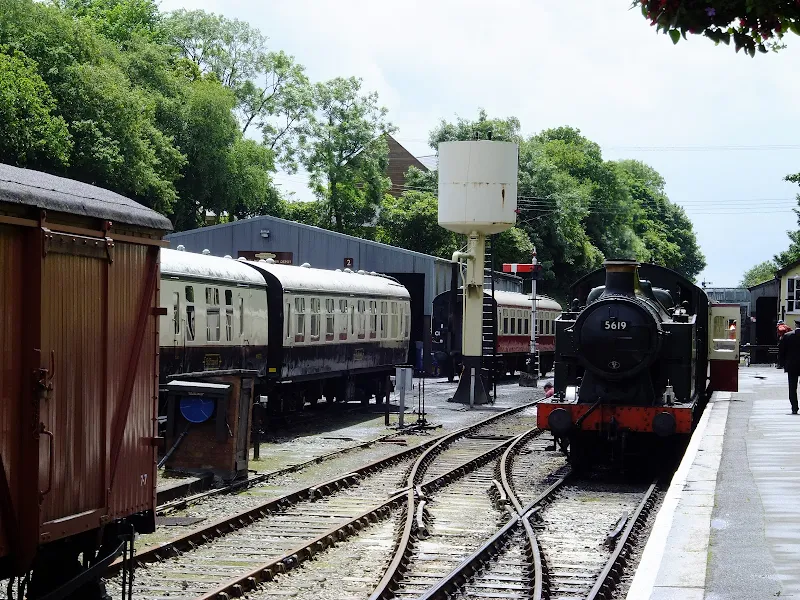
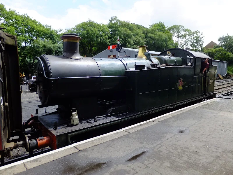
Heritage railways are always well worth seeking out and this is no exception with plenty of steam hauled rolling stock that chugs through the Cornish countryside. A plethora of former Great Western tank engines haul the trains intermixed with former British Rail diesels and multiple units.
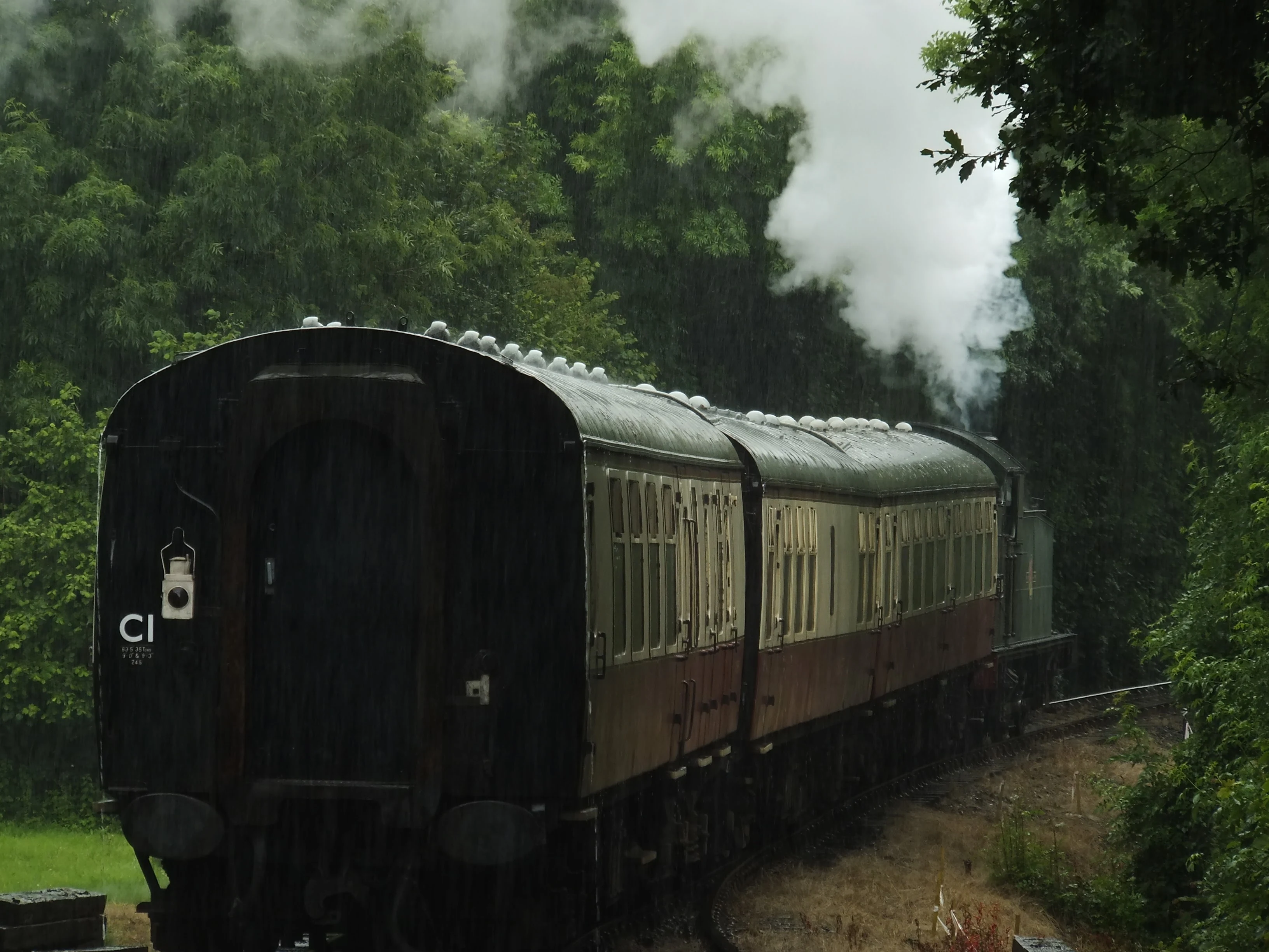
This is a simple walk that connects the two stations of Boscarne Junction and Bodmin General on the Bodmin and Wenford Railway. This section of line was originally part of the The Bodmin and Wadebridge Railway and dates from 1834 when it was opened to transport minerals and agricultural sea sand. The line closed as a passenger service in 1967 although freight operations continued until 1978. One section of the line to Wenfordbridge remained open for the china clay industry until 1983 and shortly after this closure The Bodmin Railway Preservation Society was set up to purchase the line and set up the heritage railway. Since then, the railway has grown in strength with the line reinstated between Bodmin Parkway and Bodmin General in 1990, and an extension to Boscarne Junction restored in 1996. Today a regular service links the 6½ miles between Bodmin Parkway and Boscarne Junction via Bodmin General.
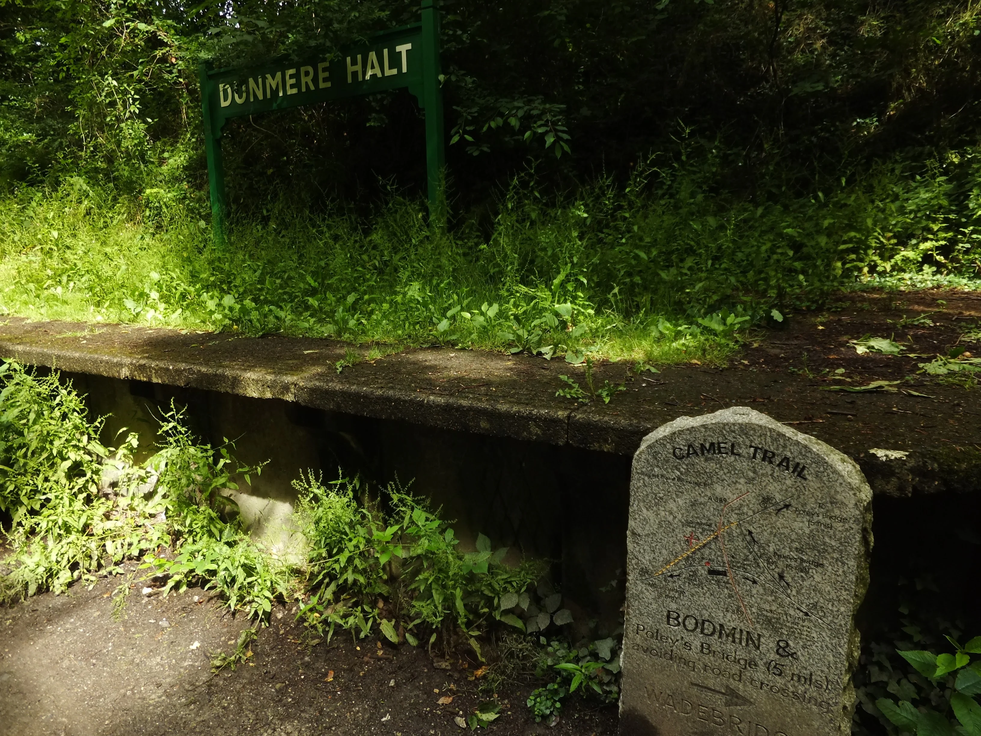
For those arriving from afar, as Griffmonster Walks did on this occasion, there is a car park on the A389 east of Bodmin. This is next to the path down to Boscarne junction and is all part of the Camel Trail that continues down to Padstow. The trail from Boscarne is through picturesque woodland through to the town of Bodmin where a short walk connects to Bodmin General station. Altogether a great day of exploring trains and countryside and easy walking for all ages and abilities.
Directions
Image Gallery
Route Validation Cards
Validation Date - 2016-07-02
- Time of Walk: 10:30 to 12:00
- Validators: Griffmonster, Kat
- Weather Conditions: Cloudy, some rain
- Notes: Initial route undertaken
Summary of Document Changes
Last Updated: 2026-04-20
- 2020-07-16 : Initial Publication
- 2021-03-17 : Update website improvements and removal of ViewRanger reliance
- 2021-12-01 : Removal of ViewRanger links due to its imminent demise
- 2026-01-12 : Major website update with all walks recast to the new format


0 comments:
Post a Comment