Foxhall Mill Stream Circular Walk

Walk Statistics
- Start location: Foxhall, Ipswich
- Distance: miles ( km)
- Total Gain: ft ( metre)
- Total Descent: ft ( metre)
- Min Height: ft ( metre)
- Max Height: ft ( metre)
- Est. Walk Time:
- Walk type: Circular
- Walk Grade: Easy
- Terrain: Footpath
Maps
The following maps and services can assist in navigating this route. There are links to printed maps and links to downloadable GPX route data for importing into navigational software and apps.
- Ordnance Survey Explorer Map
- OS Explorer 197 - Ipswich, Felixstowe & Harwich
- GPX Route File
Walk Notes
The Sandlings Path branches as it passes over Foxhall Heath, one route leading directly across the heath towards Rushmere Heath whilst a second route leads south west to join up and follow the Mill River, or Mill Stream. This second route is the subject of this walk, following the route and making a circular walk through the woodland of the heath and surroundings.
This specific walk starts and ends where the path crosses the Foxhall Road out of Ipswich. The road leads out of the the urban area and down a hill then double bends in the valley that hold the stream. On the right is the entrance to the Nuffield Hospital and adjacent to the entrance is the path with the distinctive Sandlings waymarker.

The route makes a figure of eight walk. Firstly leading southwards to follow the stream, then following the Sandlings path to Purdis Hall. At this point we leave the Sandlings path to navigate along a footpath that leads back to the opposite bank of the stream through more woodland to the point where we started.
The second stage of the walk leads northwards through the Mill Stream Nature Reserve to the point where it leads through to Rushmere Heath, at which point we pick up the Sandlings Path again. We continue across Foxhall Heath to return to the point at which we started.
The Mill Stream rises on Foxhall Heath from numerous springs and then flows south towards Prudis Hall where it turns to flow east where it outfalls into the River Deben at Kirton Creek. Judging by the name of the Mill Stream, it must have fed a water mill as some point in the mists of history. There was a Mill further downstream at Bucklesham just prior to the streams outfall and although no longer in use, this is depicted on John Kirbys 1736 map therefore it is certainly historic. Judging by the flow of water at Foxhall, there would not have been the capacity to drive a watermill so we must assume the Bucklesham Mill was the origin of the name.

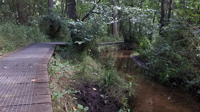
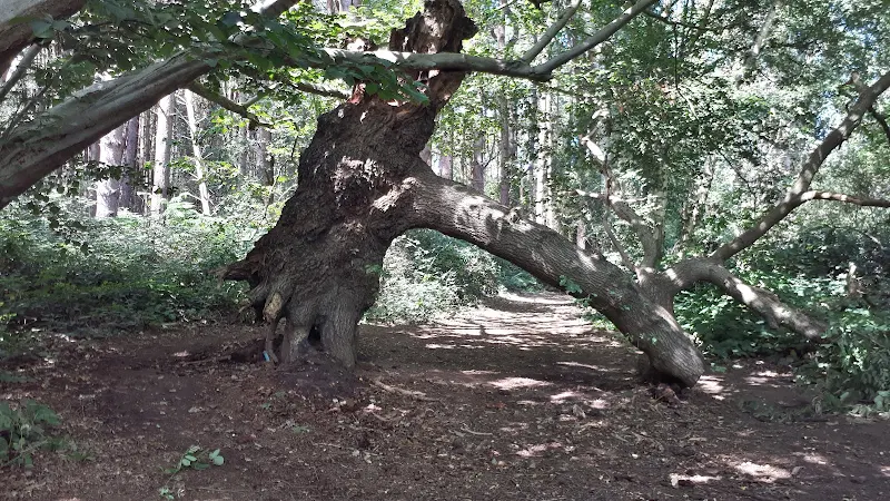
The stream that courses though the woodland around Foxhall heath is no more than a small brook during normal conditions. No doubt given substantial rainfall this turns into a torrent and maybe that is why boardwalks have been erected along the path that follows the stream. This makes for some easy walking whilst taking in the sights of the trees that all have their own individual identity in this somewhat wild piece of nature.
Altogether this really is a delightful little route. Its proximity to Ipswich brings many folk to wander the paths and on this specific occasion there was plenty of folk making use of the paths.
Route Validation Cards
Validation Date - 28/07/2020
- Time of Walk: 02:00 to 03:30
- Validators: griff
- Weather Conditions: sunny spells
- Notes: Initial route undertaken
Summary of Document Changes
Last Updated: 2026-01-12
- 2021-03-26 : Initial Publication
- 2021-12-01 : Removal of ViewRanger links due to its imminent demise


0 comments:
Post a Comment