Foxhall and Brookhill Wood Walk
Friday, 26 March 2021
|
1 comment
|
![]()
Short circular walk around heaths and woodlands of Foxhall, Ipswich
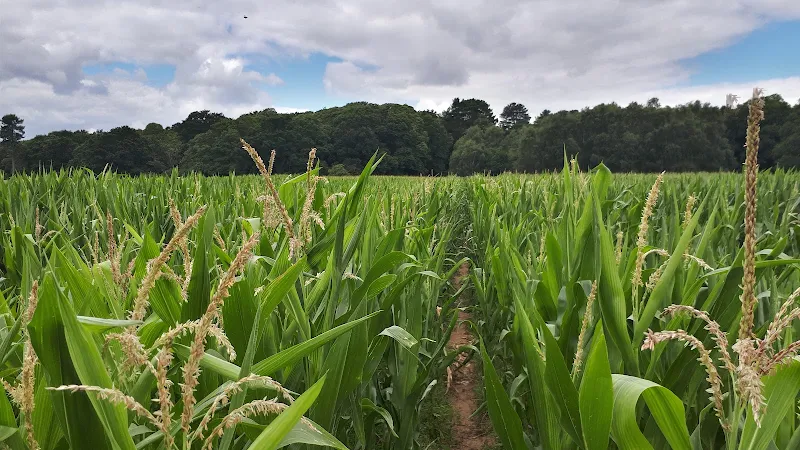
A pleasant stroll around the heaths and woodlands around Foxhall, to the east of Ipswich. The walk is short but nonetheless a pleasant way to while a way an hour or two. Natural woodland, babbling stream and if you look very carefully you may even see what remains of Foxhalls All Saints Church

Walk Statistics
- Start location: Foxhall, Ipswich
- Distance: miles ( km)
- Total Gain: ft ( metre)
- Total Descent: ft ( metre)
- Min Height: ft ( metre)
- Max Height: ft ( metre)
- Est. Walk Time:
- Walk type: Circular
- Walk Grade: Easy
- Terrain: Footpath

Maps
The following maps and services can assist in navigating this route. There are links to printed maps and links to downloadable GPX route data for importing into navigational software and apps.
- Ordnance Survey Explorer Map
- OS Explorer 197 - Ipswich, Felixstowe & Harwich
- GPX Route File
Walk Notes
The walk starts adjacent to the entrance to the Nuffield hospital, where a footpath leads into the woodland and is marked by the Sandlings Path waymarkers. The route soon diverts from the Sandlings route to keep to the eastern side of the Mill Stream.
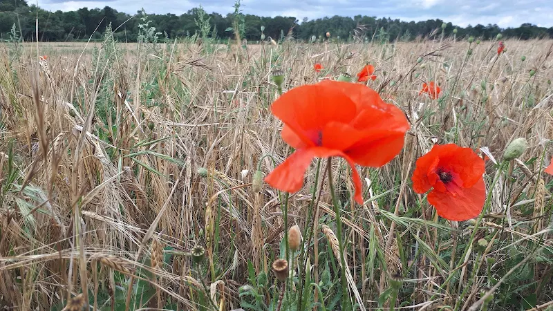
The path skirts around the western and southern side of Brookhill Woods which appears to be sectioned into smaller areas, with signs announcing Ely Wood and Raedwald Wood. The woodland on the southern side ends to reveal farmland where in 1992 a discovery was made by detectorists of a bronze mount in the shape of a dragons head. This is thought to date from the 11th century and is attributed to Viking art. Could this be dropped by one of the Viking soldiers at an infamous battle that was fought between the Saxons and Danes upon nearby Rushmere Heath. The battle is mentioned in the Saxon Chronicles under the entry for the year of 1010. This entry states that after Easter the Danes invaded the Angles at Gippeswic, where they engaged with the forces of the Saxon Earl, Ulfkytel, at Rushmere Heath. The outcome was not good for the Saxons, as the record indicates:
The king's son-in-law Æthelstow was slain there, and Oswi and his sons, and Wulfric the son of Leofwin, and Eadwig the brother of Æfic, and many other good Thanes, and more than can be numbered of the common people.
After this decisive victory the Danes went on to burn and plunder all of East Anglia to firmly establish their hold upon the region.
So, who knows, this small find, this personal token, may well have been dropped by one of the Viking army during or after this conflict.
The East Suffolk area is renowned for its discoveries of Saxon treasures but this is a little later. Who knows what lies beneath these soils, or indeed beneath a lot of the housing estates that are creeping out of the sprawling metropolis of Ipswich.
The path crosses the Monument Farm road and leads along the boundaries on heath and farmland to Foxhall Hall. This intriguing farmstead incorporates the ruins of All Saints church, the parish church of Foxhall that fell into ruins sometime around the 16th century. Such a fate often beset religious houses after the reformation but it is thought that this was not solely caused by political sentiment but by other churches serving the parish which made All Saints surplus to requirement. It is easy to wander by this and not even notice that it was the site of a church, but on closer inspection one can pick out remains of the church incorporated into the barn.
We now change direction to head northwards to the road, cross the road and the land that encloses the Suffolk Aviation museum. Continuing onwards the route enters the woodland around the Foxhall Stockcar Stadium. We pass around the north side of this to pick up the Mill stream and return to the starting point.
Route Validation Cards
Validation Date - 28/07/2020
- Time of Walk: 12:00 to 01:30
- Validators: griff
- Weather Conditions: sunny spells
- Notes: Initial route undertaken
Summary of Document Changes
Last Updated: 2026-04-20
- 2021-03-26 : Initial Publication
- 2021-12-01 : Removal of ViewRanger links due to its imminent demise
- 2026-01-12 : Major website update with all walks recast to the new format


1 comments:
Where do you park for start of walk?
Post a Comment