Route details, maps, pubs, features, local history and folklore for a wide variety of walks focusing primarily on Norfolk and Suffolk

Walks
Showing posts sorted by relevance for query Foxhall, Ipswich. Sort by date Show all posts

Saturday 27 March 2021

Foxhall Mill Stream Circular Walk

A field of sweetcorn adjacent to Brookhill Wood

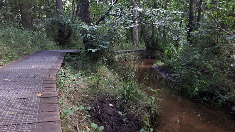
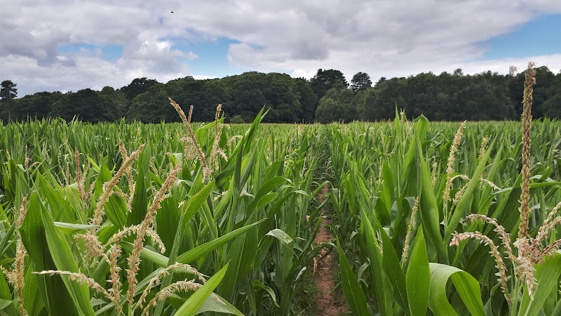
Short circular walk following the Mill Stream through Foxhall, Ipswich

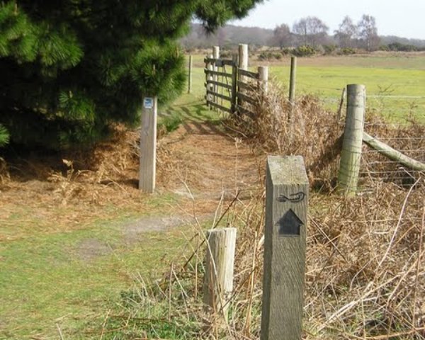
One branch of The Sandlings Path that leads into Ipswich, follows a route across Foxhall Heath. This small walk uses the path as the basis of a circular walk through this natural woodland location.

Friday 26 March 2021

Foxhall and Brookhill Wood Walk

A field of sweetcorn adjacent to Brookhill Wood

Short circular walk around heaths and woodlands of Foxhall, Ipswich

A pleasant stroll around the heaths and woodlands around Foxhall, to the east of Ipswich. The walk is short but nonetheless a pleasant way to while a way an hour or two. Natural woodland, babbling stream and if you look very carefully you may even see what remains of Foxhalls All Saints Church

Monday 17 December 2018

The Sandlings Walk

The Sandlings Waymarker

An overview of the Sandlings Walk, a 55 mile long distance path through the forests and heaths of East Suffolk

The Sandlings is a 55 mile walk starting at Rushmere Heath on the eastern side of Ipswich with Southwold, passing through the remaining fragments of East Suffolks Sandling Heaths. The trail leads through Rendlesham, Tunstall and Dunwich forests and also includes riverside walks at Woodbridge and heathland walks across Rushmere Heath, Sutton Heath, Thorpeness Common and Dunwich Heath..

Sunday 25 April 2010

The Sandlings Walk - Ipswich to Melton

boat on Deben estuary

The start of the Sandlings can be found in several points in Ipswich but we chose Rushmere Heath opposite Ipswich hospital. One thing about Ipswich is that it always reminds you that it is there despite the peacefulness of the Heath. There is constant background noise of sirens, traffic, distant motorbikes.Once past Martlesham you are then in the serenity of the countryside with all the delights of the river Deben and Martlesham Creek.

NOTE - this walk page has been superseded by a Walk summary located at Rushmere to Melton Walk Summary
 

Thursday 20 December 2018

The Sandlings Walk - Martlesham to Rushmere Heath

Martlesham Heath Control Tower Museum

A 4.5 mile walk across heathland from Martlesham to Rushmere Heath on the eastern fringes of Ipswich

Like most modern towns, Ipswich is suffering from a seemingly endless amount of urban sprawl that envelops the traditional villages that once surrounded it. However, this walk follows heathland that is hidden behind the housing estates all the way from Martlesham through to Rushmere Heath and Ipswich Hospital

Tuesday 10 December 2019

Alton Water Reservoir Walk

Daisies at Alton Water

An 8 mile walk around Suffolk's Alton Water Reservoir

Located on the Shotley peninsular, the Alton Water Reservoir provides an easy walk around its water. A self contained circular route that needs little in the way of maps. Just keep the water on your left and keep walking! The mixed variety of landscapes of open meadow, woods and even the hills on the northern side of the reservoir provide a constant changing scenery throughout the walk.

Walk Summaries

Latest walk summaries are basic information sheets for walks that have yet to be fully documented. These provide links to maps, public transport and walks stats, although detailed notes and features are not included.

Latest Walk Summaries

Featured Walk

In Search of Sizewell Chapel

A 10 mile walk following the southern side of the parish boundary of Leiston in Suffolk This walk follows the route of a 17th century peramb...

What is GPX

All you need to know about GPX, electronic mapping and how to use modern apps and mobile devices as navigation devices

Popular Walks

Maps