A Circular Walk around Beccles Marshes
Thursday, 4 June 2026
|
No comments
|
![]()

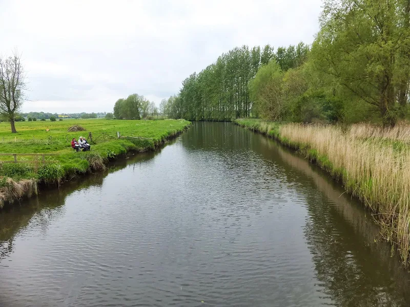
A circular walk around Beccles Marshes
A 5 mile circular walk that follows the Waveney River around the Beccles Marshes. This easy trail is a real pleasure and an ideal way to while away two or three hours. Take your time and absorb the sights and sounds of the river and the marshes.