Brean Down Way - Weston-super-Mare to Brean

Brean Down Way - Weston-super-Mare to Brean
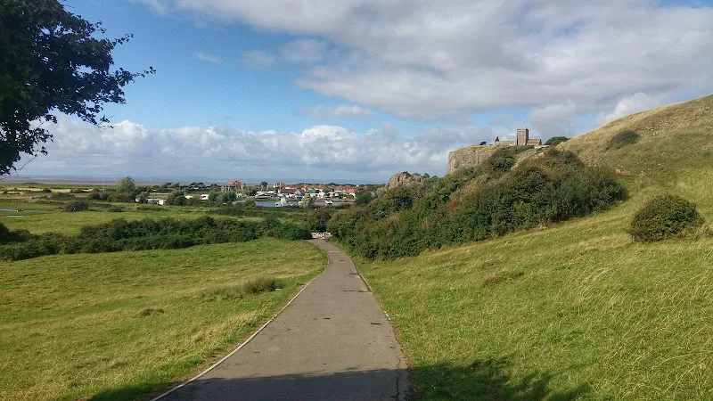
This route makes use of a cycle path known as the Brean Down Way that links Weston Super Mare to Brean Down. Opened in May 2017, this provided a cross country route that made use of a crossing of the River Axe at a sluice gate that previously had no public access. In addtion paths have been installed alongside the road sections making for a pleasant and easy walk accessible to all.
Leaving Weston one passes through Uphill with its iconic church that dates from 1080 sitting above the path atop a rocky cliff. Although paritally ruined it does have a roofed chapel that is still in use for Christian services. There is then a asphalt path that leads through to the sluice and a new path that leads around the perimeter of a caravan park and then along the road to Brean Beach. The Brean Down Way then heads north to Brean Down and this route heads south along the glorious wide sandy beaches to the southern sid of Brean


