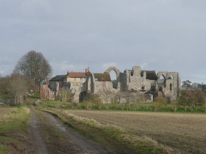
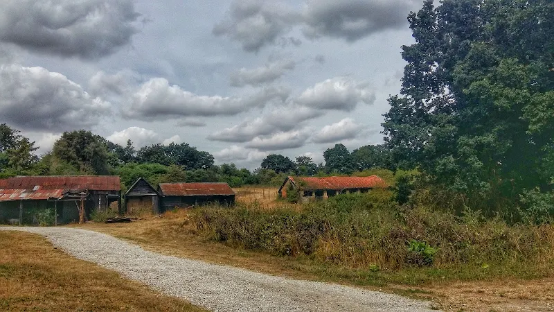
A simple 11 mile walk across the Suffolk heaths and woodland from Leiston to attend the annual Westleton Barrel Fair.
For the second year on the trot we made our way through the lanes, tracks and footpaths to experience the unique adventures of Westleton Barrel Fair. This year there was the usual barrel races across the village green, open to residents and all-comers, together with straight sprints and sack races providing a full days entertainment in the August sunshine. Music was provided on the outdoor stage from the Bruisyard Light Orchestra performing a mixture of blues and pop cover versions in their unique style, together with performances by Rumburgh Morris Men. Other attractions included Punch and Judy shows, Donkey rides, Owls and exotic creatures on display, Coconut Shy, hog roast and various stalls offering local crafts. Adnams ales were available from the White Horse pub and their outside bar by the duck pond though unfortunately the Crown beer tent wasn't here this year so for guest ales we had to resort to wandering down to the Crown. An excellent day out and well worth the walk!