Route details, maps, pubs, features, local history and folklore for a wide variety of walks focusing primarily on Norfolk and Suffolk

Walks
Showing posts sorted by relevance for query Falmouth. Sort by date Show all posts

Friday 28 December 2018

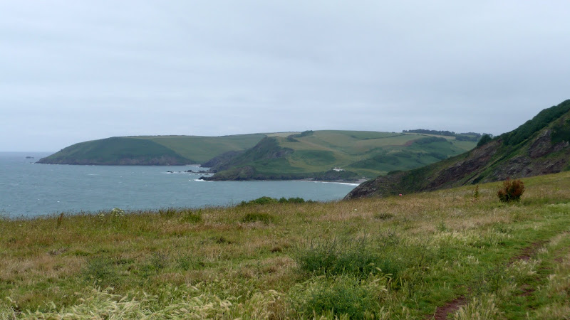
South West Coast Path - Pendeen to St Ives

Portheras Cove

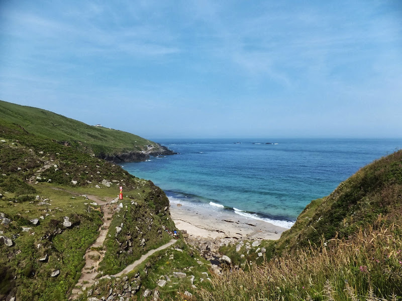
An alternative route to the official Coast Path using the Zennor Churchway otherwise known as the Coffin Path for a less challenging 13 mile walk between Pendeen and St Ives

This alternative route leads away from the coast path at Porthmeor to take the Zennor Churchway which follows an ancient track across a flat ridge of land that joins the cliff top to the hills. From Zennor the route is known as the Coffin Path on account of it being the route used to take coffins to Zennor church during the middle ages. This route provides an alternative for when bad weather sets in on the coast path when it can become hazardous or simply as a less strenuous and less time consuming route.

Tuesday 17 December 2019

South West Coast Path - Brixham to Kingswear

Looking towards the Dart Estuary

A 10 mile walk along the South West Coast Path between Brixham and Kingswear.

This section is one of the most strenuous walks along the Exmouth to Plymouth section of the Coast Path but offers some spectacular views. There are craggy cliff-face paths as well as gentle wooded zig-zags before it finally meets the lanes that emerge by the railway station at Kingswear. A frequent bus service operates between Brixham and Kingswear to allow the walker to return to the start point.

Wednesday 12 December 2018

South West Coast Path - Starcross to Paignton

Dawlish Sea Wall Railway

A lengthy section along the South West Coast Path taking in the the English Riviera between Starcross and Paignton

From the Exe estuary where the ferry links Exmouth and Starcross, the South West Coast Path heads southwards through the English Riviera Towns of Dawlish, Teignmouth, Torquay and Paignton. This section is a mixture of level walking through towns interspersed with hill walking through Maidencombe, Watcombe and Babbacombe and out to Hope's Nose. There are excellent transport links throughout including the iconic railway that runs along the sea wall from Teignmouth up to Starcross and is as inspiring as the walk itself.

Walk Summaries

Latest walk summaries are basic information sheets for walks that have yet to be fully documented. These provide links to maps, public transport and walks stats, although detailed notes and features are not included.

Latest Walk Summaries

Featured Walk

In Search of Sizewell Chapel

A 10 mile walk following the southern side of the parish boundary of Leiston in Suffolk This walk follows the route of a 17th century peramb...

What is GPX

All you need to know about GPX, electronic mapping and how to use modern apps and mobile devices as navigation devices

Popular Walks

Maps