Route details, maps, pubs, features, local history and folklore for a wide variety of walks focusing primarily on Norfolk and Suffolk

find_in_page

Keyword Search Results

A Walk around Suffolk's Minsmere Bird Reserve

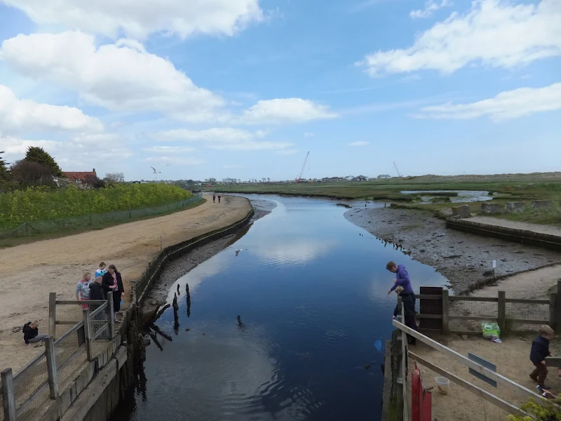
Minsmere sluice

A 10 mile circular walk through the Suffolk Coastal Area of Outstanding Natural Beauty taking in Sizewell and the Minsmere Bird Reserve

One does not have to have an enthusiasm for ornithology to enjoy this walk. The natural surroundings of marshland and heathland are enough to inspire everyone and there is a lot of associated history along this route which dates back to the 12th century when Leiston Abbey once occupied an island in the marshes. Note that charges apply to the Minsmere section.

The Aftermath of the 2013 Storm Surge at Minsmere

Flattened dunes by the Northern Sea Wall to Minsmere

A 10 mile circular walk to witness the damage caused by the 2013 Storm Surge

The 2013 Storm Surge proved to be the highest tide in 60 years. Although much of the flooding had recede the evidence remained of where the waters reached. Viewing the changes in coastline shows just how vulnerable this stretch of the Suffolk coast really is, especially in view of the fact that such storms appear to be increasing in frequency. The walk returns through the heath and forest via Dunwich Heath and Eastbridge where the results of Octobers St Jude storm are evident from the many fallen trees.

England Coast Path - Dunwich Heath Diversion

TWestleton Village Green

England Coast Path Dunwich Heath Diversion

Due to the Summer 2026 wild fire that tragically devastated Dunwich Heath in Coastal Suffolk, the entire Heath area, including the coastal margin, and all footpaths within an extended area are now out of bounds to the public. This could last for up to 6 months before it is declared open again. The route described on this walk is the recommended diversion for those undertaking the England Coast Path section between Aldeburgh and Southwold.

In Search of the ruins of Leiston Abbey (Diversion in Place)

A 10 mile circular walk around Leiston and Eastbridge in Suffolk

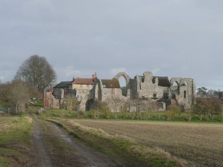
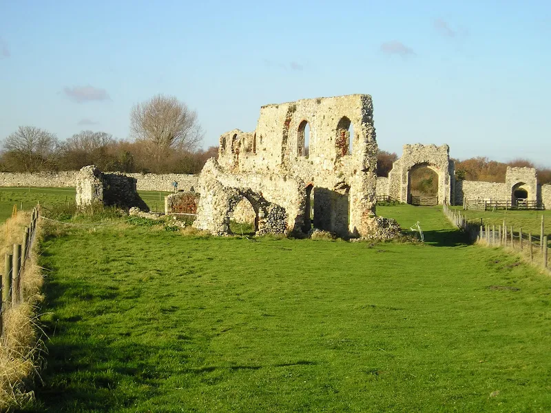
Leiston Abbey was originally founded in the late 12th century by Ranulf de Glanville. The original building was constructed on an island in the Minsmere marshes. Two centuries later, due to the inhospitable conditions on the marsh and constant flooding the Abbey was moved inland, lock stock and stone to a site close to Leiston. Despite a great fire in 1367 and much demolition following the dissolution of the monasteries there still remains some impressive ruins. There is still a remnant of the old Abbey, with the former chapel building sitting in its island position above the marsh, decaying into the landscape and containing a WWII pill box. This walk visits both sites making a well worthwhile walk.

In Search of the Lost City of Dunwich (Diversion in Place)

A circular walk between Leiston and Dunwich

This walk uses the beach and the Sandlings Path to provide a days walk to Dunwich from Leiston via Sizewell. One should time this walk such that the beach is walked a couple of hours either side of low tide when there is a little sand to walk along. At other times the beach is predominantly shingle and the walker may find it easier to follow the Suffolk Coast Path which is waymarked from the north side of Minsmere where it continues up onto the cliffs.

England Coast Path - Aldeburgh to Southwold (Diversion in Place)

Aldeburgh boating lake with the Moot Hall in the background

The England Coast Path, Suffolk section from Aldeburgh to Southwold

This 17 mile linear walk links the towns of Aldeburgh and Southwold. This entails typical English seaside villages, clifftop paths, areas of dune and shingle. The last section is a walk through marshland between Dunwich and Walberswick before crossing the River Blyth to arrive in Southwold.

Kenton Hills and Broom Covert Circular Walk - BLOCKED UP

Broom Covert

A circular walk around the Area of Outstanding Natural Beauty at Sizewell

This walk uses blocked up paths and is currently inaccessible. There is no access through Goose Hill and down to the beach. Some parts of Kenton hills are accessible. The path across Broom Covert is lined with metal fencing and the path across the meadow to Reckham Pits has been directed. This is due to construction works linked to Sizewell C.

This walk has a diverse landscape that has something for everyone. Woodland, coast and beach, freshwater marsh and Sandlings Heath which is a delight to any visitor and worthy of its status as an Area of Outstanding Natural Beauty. The walk heads out of Leiston alongside the man-made Aldhurst Farm nature reserve, an area of wetland, heath and grassland created in 2015 as a sweetener for the local folk should the proposed Sizewell C Power Station get approval. It isn't presently accessible to the public other than the established footpath that runs along the valley and a new path running adjacent to Valley Road. The north side of the reserve was once known as Winters Heath, common land that was enclosed in the early 19th century. Therefore this is not so much as giving something to the community as returning the access rights to the people that such common land once afforded.

A Trek Around Sole Bay

Sole Bay

A 24 mile circular walk between Sizewell and Southwold along the Suffolk Coast Path and Sandlings Walk.

Back in the 17th Century, Southwold was England's main fleet anchorage. Sole Bay (Sawolde Bay) was a bay centred on Southwold with Easton Ness to the North and Dunwich to the South. In May 1672 this bay was the scene of a fierce sea battle when a fleet of 75 Dutch ships took an Anglo-French fleet by surprise. There were heavy losses on both sides in this, the first naval battle of the third Anglo Dutch War, but luckily for the English fleet the wind turned to their favour resulting in their success in the battle. Today coastal erosion has straightened the coastline of the former bay and all that remains of the battle are the stories and the cannons pointing out to sea on Gun Hill.

In Search of Sizewell Chapel

Broom Covert

A 10 mile walk following the southern side of the parish boundary of Leiston in Suffolk

This walk follows the route of a 17th century perambulation around the southern side of the Leiston Parish boundary. The walk uses the ancient track down to Sizewell and continues down to Thorpe before turning inland to follow the River Hundred through to Cold Fair Green. The details are contained in two articles, this being the first, focusing on the medieval history of Sizewell.

Coastal Erosion at Thorpeness

Erosion at Thorpeness

A circular walk from Sizewell to Thorpeness along the Suffolk Coast Path

Since 2013 Thorpeness has suffered from periodic erosion, especially during winter storm surges. During the winter of 2025/2026 the erosion accelerated, forcing houses along the cliff top to be demolished. Many of these had stood there for a hundred years and this was unprecedented. Many now say the very village is at threat of being taken by the sea. It is a very sad situation.

Leiston to Westwood Marsh

The old Westwood Marsh Pumping Mill

A walk encompassing the Westwood Marshes footpath into a circular route from Leiston

The Westwood Marshes footpath is little gem of a path that links the Newdelight Walks with the Suffolk Coast Path through the Westwood marshes. The route for this walk uses this path as the ultimate destination from Leiston but shorter alternatives to include this path are also detailed.

Leiston to Walberswick Circular Walk

Sole Bay

A 22 mile circular walk between Leiston and Walberswick incorporating sections of the Suffolk Coast Path and Sandlings Walk.

This walk uses the beach at low tide to get from Sizewell to Walberswick, returning through Dunwich forest. Walberswick is said to be the most haunted place in Britain though one would not think it from its relaxed and laid back character, famous for its crabbing pastimes.

Suffolk Coast Path

Martello Tower at Bawdsey

An overview of the Suffolk Coast Path, a 60 mile long distance path following the coast of Suffolk

A 60 mile long distance footpath from Felixstowe to Lowestoft in easy stages through some of the characteristic landscapes of the Suffolk Coast and Heaths Area of Outstanding Natural Beauty. The path also includes the Orford Loop which provides access through to Orford and the Butley Ferry. Alternative beach walks, providing the tide is right, can be undertaken throughout.

In Search of Sizewell and Thorpe Beacons

Sizewell

A 10 mile walk following the southern side of the parish boundary of Leiston in coastal Suffolk.

This is the second article devoted to the walk following the route of a 17th century perambulation around the southern side of the Leiston Parish boundary. This article concentrates on two landmarks from the past, namely Sizewell and Thorpe Beacons, which are thought to have been part of the Armada early warning system.

diversity_3

Popular Walks