Route details, maps, pubs, features, local history and folklore for a wide variety of walks focusing primarily on Norfolk and Suffolk

Sunday 19 July 2020

St Enodoc's Church, Trebetherick

St Enodoc Church

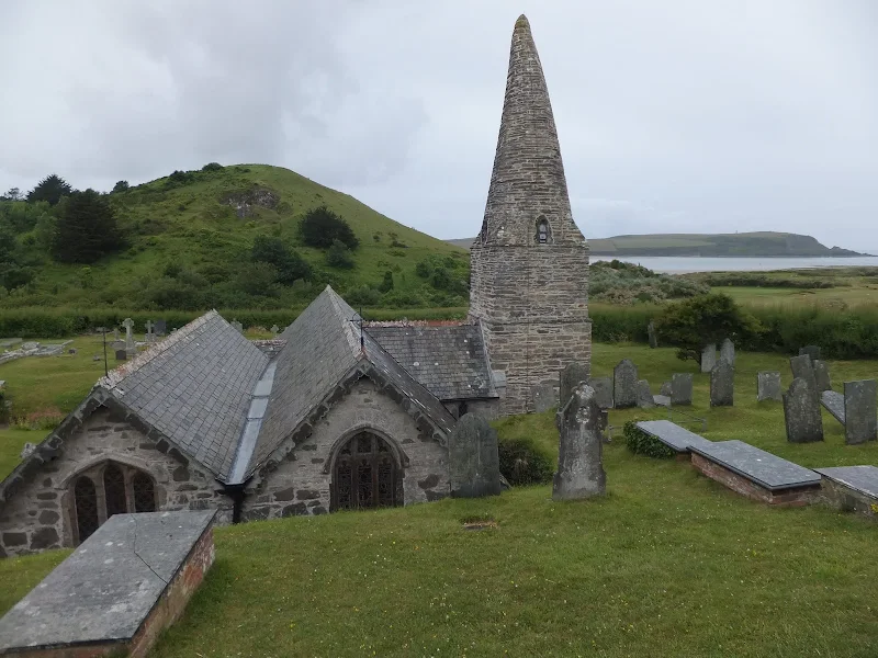
Short walk to St Endocs Church, buried in the sands of the coastal area close to Polzeath

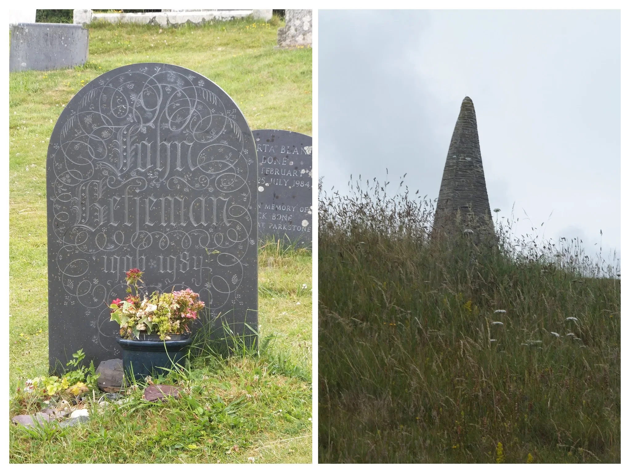
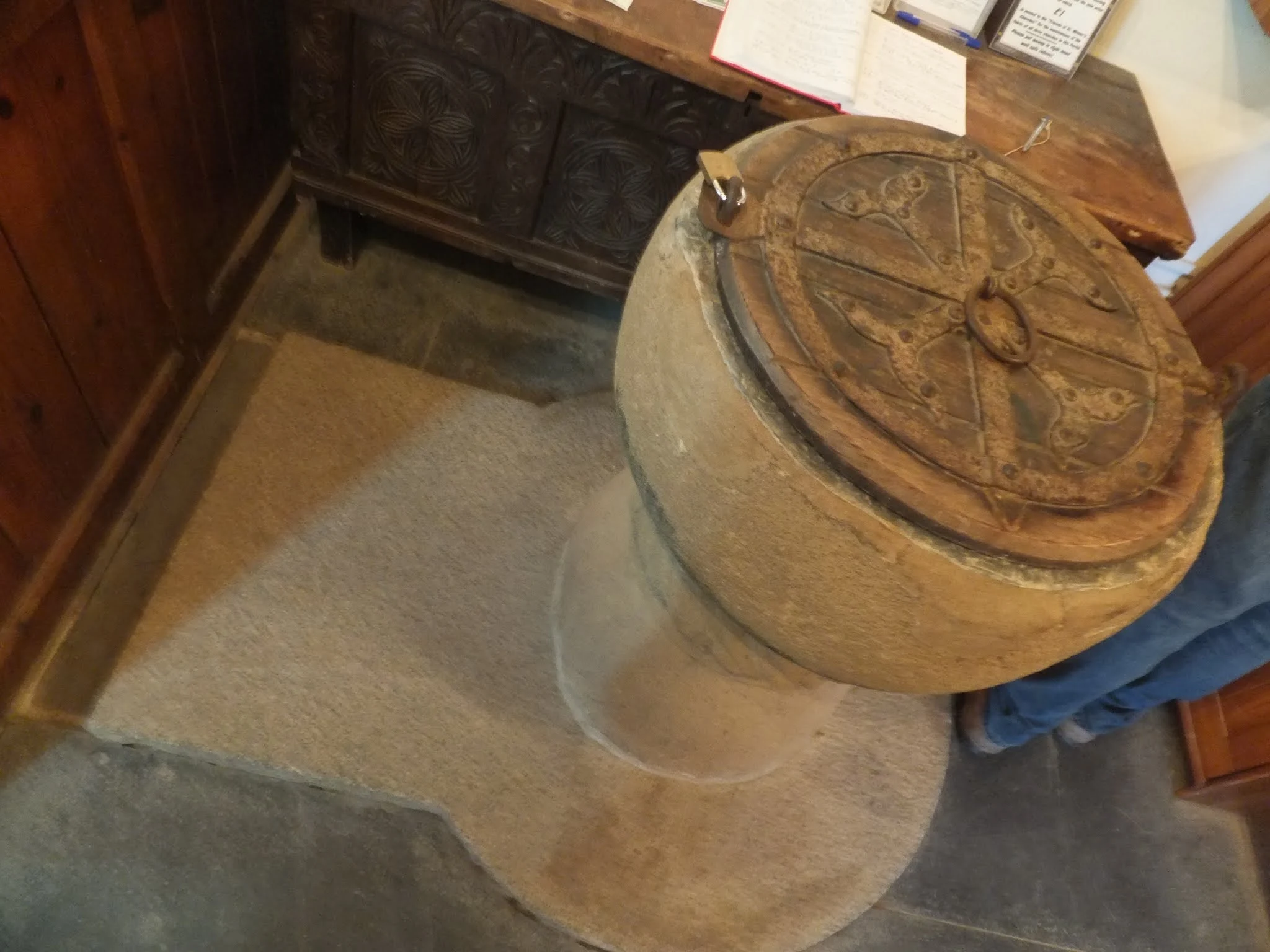
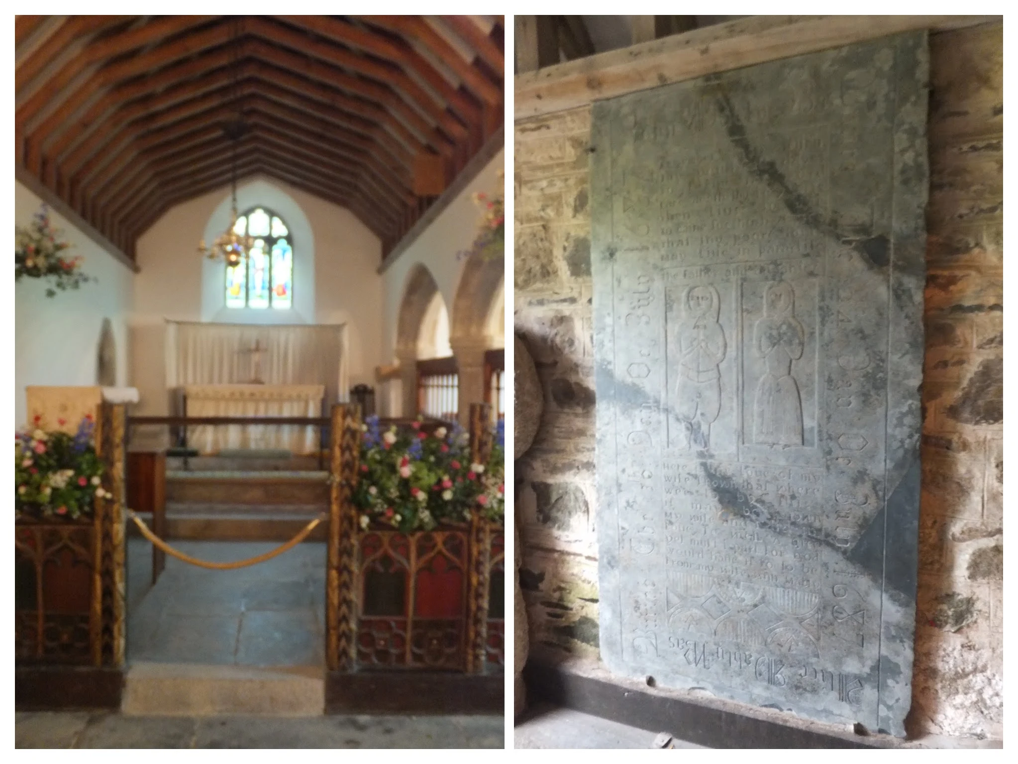
The church of St Endoc is located in the coastal area close to the coast path alongside the Camel estuary. The church was buried in the shifting sands for some 300 years, being unearthed in the 19th century. Whether walking the coast path or visiting this area, the church is well worth a visit

St Enodoc's Church, Trebetherick - Essential Information

Walk Statistics:

  • Start location: Road from Polzeath 
  • End location: St Enodoc Church 
  • Distance:   miles (  km)
  • Total Gain:   ft (  metre)
  • Total Descent:   ft (  metre)
  • Min Height:   ft (  metre)
  • Max Height:   ft (  metre)
  • Walk Time:  
  • Walk type: Linear
  • Walk Grade: Easy
  • Terrain: Footpaths, Road

Maps:

The following maps and services can assist in navigating this route. There are links to printed maps and links to downloadable GPX route data for importing into navigational software and apps.


Accommodation:

Valley Camping and Caravan Park, PolzeathView in OS Map | View in Google Map
Website
Description
A friendly and welcoming family owned camp and caravan site close to the beach at polzeath

Route Verification Details

  • Date of Walk: 2015-07-02
  • Walk Time: 11:00 to 11:30
  • Walkers: Griffmonster, Kat
  • Weather Conditions: Overcast but warm

Walk Notes

This is not so much of a walk as a visit. Unlike most walks on this site which vary from simple 3 milers to major hikes, this is less than 1 mile to the church and only 1.2 miles for the total return distance. The main reason for including this to the Griffmonsters walk site is for the visit to St Endocs church which may be missed by walkers, hikers or visitors to the area. It has to be said that there is a way marker for the church on the South West Coast Path that points down a footpath across the golf course. However, such features are probably disregarded by most walkers when the intention is to get from A to B. In this case, it is worth the diversion and from the coast path which is less than half a mile there and back, and there is no need to plot the route as it is fairly obvious.

On the left is Sir John Betjemans gravestone and on the right, the church hidden in the sand dunes
On the left is Sir John Betjeman's gravestone and on the right, the church hidden in the sand dunes
In this instance we plot a route from the nearest road, the unclassified road that links Polzeath and Rock. There is a lay-by opposite the Daymer Bay road, and there is also a bus stop close by at the Mowhay Cafe which is served by the buses between Rock and Polzeath. From this point it is a simple ramble down the lane, and then a footpath across to the sunken church for that is what it looks like on approaching it. A crooked spire poking out of the ground on the golf course. The site is said to have been the location of a cave that was the hermitage of St Enodoc, a 6th century Saint. Enodoc (aka St Guinedoc) is thought to have hailed from Wales, from the line of the chieftain Brychan of Brecknock. Virtually all the references I have thus far found have related that some historians suggest that Enodoc was a woman named Qendydd yet I can find no reference to a historian who has staked such a claim. Surely a different name would relate to a different person, but until I can find an academic source to verify this then it must be taken with a pinch of salt.
12th Century Font
12th Century Font
The church is said to date from the 12th century with additions from the 13th and 15th centuries. An information board inside the church suggests there may well have been a wooden church predating both this construction and St Endocs cave, from the 3rd century. The board also states that an ancient oratory was discovered close by on Brea Hill in 1822 when the sands shifted after a severe gale. The unstable location of the church in these coastal dunes is reputed to have buried the church up to its eaves for some 300 years from the 16th to 19th century. This is believable considering its present situation which could almost be a deep bunker on the golf course. Approaching it from the road it does appear to still be buried with the crooked spire, curved and untrue, poking above the depression that hides most of the church.
On the left is the church interior, on the right is the Mably memorial
On entering the porch there is a large stone Celtic cross alongside an impressive inscribed memorial stone dedicated to John Mably who died in 1687. Inside is a 12th century granite font with lead lined bowl. Altogether this is a peaceful little secret hidden away from sight apart from the eyes of the golfers and those who dare to wander off of the regular trails. It is well worth the time to take out for a visit.

Summary of Document Changes

Last Updated: 2021-12-12

2020-07-19 : Initial Publication
2021-03-17 : Update website improvements and removal of ViewRanger reliance
2021-12-01 : Removal of ViewRanger links due to its imminent demise

0 comments:

Post a Comment

Walk Summaries

Latest walk summaries are basic information sheets for walks that have yet to be fully documented. These provide links to maps, public transport and walks stats, although detailed notes and features are not included.

Latest Walk Summaries

Featured Walk

In Search of Sizewell Chapel

A 10 mile walk following the southern side of the parish boundary of Leiston in Suffolk This walk follows the route of a 17th century peramb...

What is GPX

All you need to know about GPX, electronic mapping and how to use modern apps and mobile devices as navigation devices

Popular Walks

Maps

Disclaimer

These walks and directions are only intended as general guidance. All details are from a personal perspective and I bear no responsibility for the consequences of following the routes documented.

All images are © of the author and any reproduction, retransmission or republication of all or part of the content is prohibited unless the author has granted explicit consent in writing.