Polzeath to Pentire Point Circular Walk
Wednesday, 22 July 2020
|
No comments
|
![]()
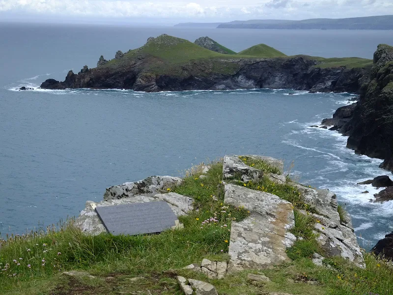
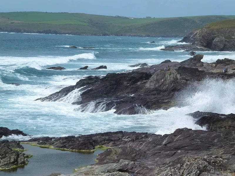
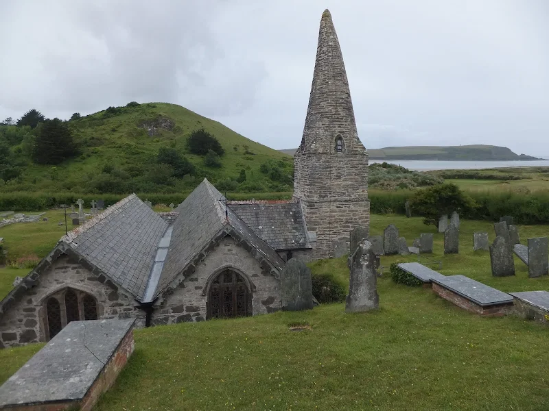
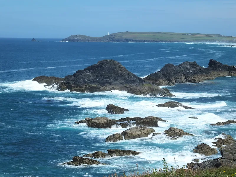
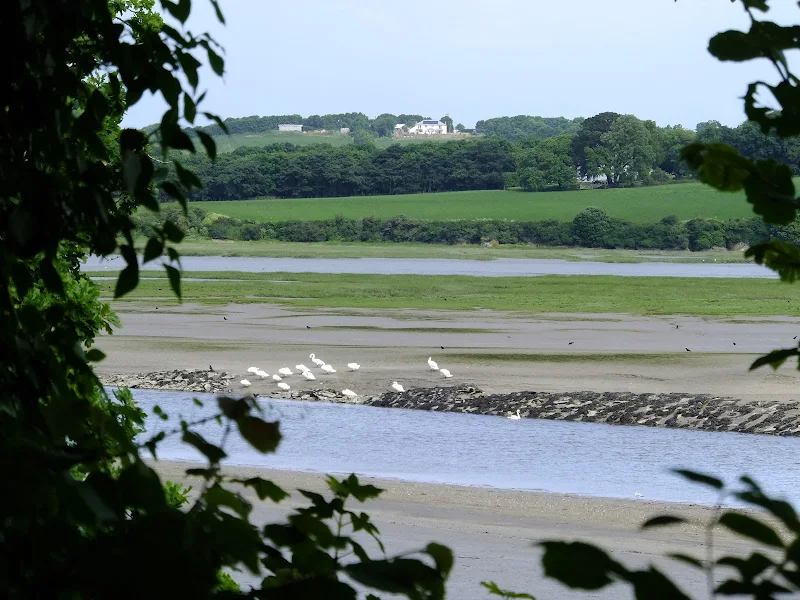
Short circular walk around the headland that fronts Pozeath
An awesome wander around Pentire Point from the village of Polzeath. This is a must for anyone who visits this classic piece of Cornish coastline. A few challenges but nothing that an average walker can muster