A Circular walk to Geldeston Locks from Beccles
Sunday, 7 December 2025
|
6 comments |
![]()

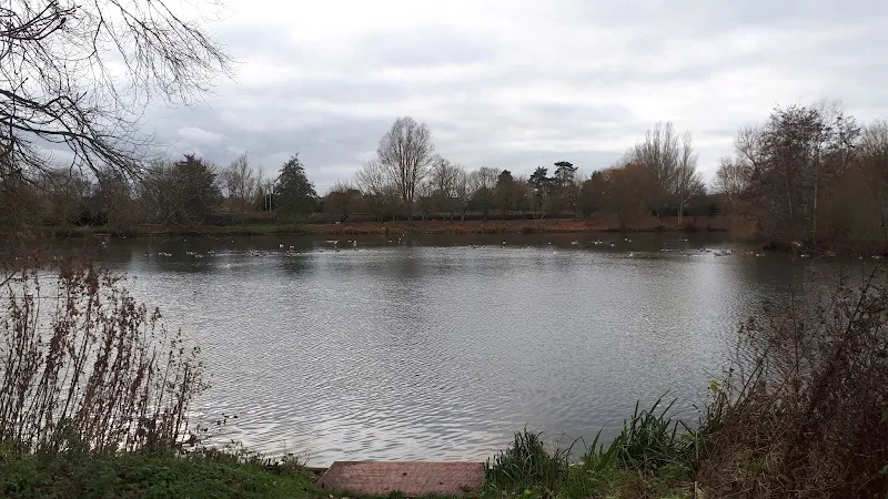
Riverside walk to the Geldeston Locks pub
A scenic riverside walk linking Beccles with the historic Geldeston Locks pub, this route offers meadow paths, peaceful stretches of the River Waveney, and glimpses of Norfolk’s rich folklore and heritage. Perfect for an afternoon outing, it combines gentle countryside walking with a memorable stop at one of the region’s most characterful pubs.