Route details, maps, pubs, features, local history and folklore for a wide variety of walks focusing primarily on Norfolk and Suffolk

Walks
Showing posts sorted by relevance for query Braunton. Sort by date Show all posts

Sunday 6 February 2022

SWCP Braunton to Croyde

Braunton to Croyde

Walk along the South West Coast Path between Braunton and Croyde on the North Devon Coast

Not the typical landscape for the SWCP, this section navigates around the Braunton Marshes that surround the River Caen and then the dunes of the Braunton Burrows, although this section is mainly on a track due to the dunes being part of a military training area. The route navigates between the bus service that connects the two towns, with bus stops at either end of the route.

Thursday 5 July 2018

Hele Bay to Braunton Walk Summary

Salt marsh

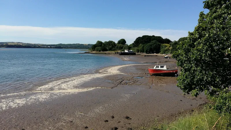
Extensive Walk along the SWCP between Hele Bay near Ilfracombe and Braunton

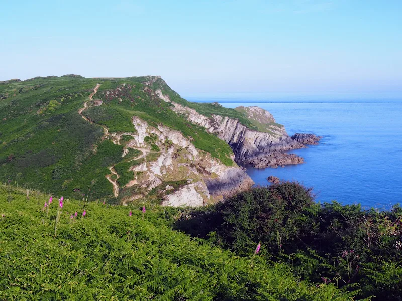
This route provides an alternative to the official SWCP whereby it short cuts the headland at Baggy Point and goes directly into Braunton omitting the section around Braunton Burrows. This achieves a sub 20 mile walk with bus access between Braunton and Ilfracombe. The cliffpath from Hele Bay to Woolacombe provides spectacular views and challenging walking whilst the sands of Woolacombe and Croyde make an easier terrain to navigate across.

Wednesday 4 July 2018

Sunday 6 February 2022

Baggy Point Circular Walk

Baggy Point Circular Walk

Short walk round the headland known as Baggy Point

A short circular walk starting and ending at Croyde. This route uses the South West Coast Path to navigate around Baggy Point, the headland just north of the village of Croyde. Return is across the headland using footpaths and tracks.

Saturday 16 June 2018

South West Coast Path - Westward Ho! to Barnstaple

Salt marsh

One of the few low level and flat walks on the SWCP, 12.5 miles between Westward Ho! to Barnstaple

A very easy walk that can be split into two if required. The first part navigates around Northam Burrows, the duned area that juts out into the Taw and Torridge estuary. A ferry at Appledore links across to Instow where the trail continues making use of the former Bideford and Barnstaple railway trackbed.

Walk Summaries

Latest walk summaries are basic information sheets for walks that have yet to be fully documented. These provide links to maps, public transport and walks stats, although detailed notes and features are not included.

Latest Walk Summaries

Featured Walk

In Search of Sizewell Chapel

A 10 mile walk following the southern side of the parish boundary of Leiston in Suffolk This walk follows the route of a 17th century peramb...

What is GPX

All you need to know about GPX, electronic mapping and how to use modern apps and mobile devices as navigation devices

Popular Walks

Maps