Route details, maps, pubs, features, local history and folklore for a wide variety of walks focusing primarily on Norfolk and Suffolk

Walks
Showing posts sorted by relevance for query Great Yarmouth. Sort by date Show all posts

Saturday, 27 October 2018

Angles Way - Belton to Great Yarmouth

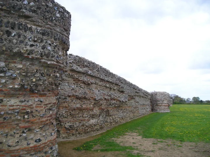
An 8 mile walk along the Angles Way from its start at Great Yarmouth to BeltonThe Angles Ways journey begins with a walk along the banks of Breydon Water to Belton. Along this route can be seen the impressive remains of the Roman fort Gariannonum at Burgh Castle. This is a simple afternoons walk with...

Tuesday, 27 November 2018

The Weavers Way

An overview of the The Weavers Way, a 60 mile long distance footpath through Norfolk linking Cromer and Great Yarmouth.The Weavers Way takes its name from the cottage weaving industry that established itself during Middle Ages around the North Walsham area. The path is characterised by the various sections...

Wednesday, 21 November 2018

Winterton to Great Yarmouth Beach Walk

A 9 mile beach walk between along the Norfolk coast from Winterton to Great YarmouthThis walk is probably better known as Robinson Crusoe's walk since this is where Daniel Defoe places his character, in the novel of the same name, after being shipwrecked with a resulting walk to Great Yarmouth. Although...

Friday, 1 February 2019

Weavers Way - Potter Heigham to Great Yarmouth

A 20 mile walk through the Norfolk Broads following the rivers Thurne and Bure from Potter Heigham to Great YarmouthA walk that follows the rivers Thurne and Bure down to the town on Acle. There is then some challenging navigation across Halvergate marshes to end up walking along the banks of Breydon...

Tuesday, 16 October 2012

Norfolk Coast Path Proposed Route

Details of the proposed route for the 19.2 miles of the Norfolk Coast Path between Hopton and Sea PallingDetails have been published for the proposed route of the Norfolk leg of English Coastal Footpath between Hopton to Sea Palling. Much of the proposed route is along existing footpaths and walked...

Tuesday, 30 September 2014

Proposed Route for the Norfolk Coast Path from Hopton to Sea Palling Released

Details of the proposed route for the 19.2 miles of the Norfolk Coast Path between Hopton and Sea PallingDetails have been published for the proposed route of the Norfolk leg of English Coastal Footpath between Hopton to Sea Palling. Much of the proposed route is along existing footpaths and walked...

Friday, 21 December 2018

Weavers Way - Potter Heigham to North Walsham

A 20 mile walk along the Weavers Way between Potter Heigham and North WalshamThe Weavers Way winds its way along the River Thurne and then up Candle Dyke to Hickling Broad. From here it cuts across country to Stalham where it picks up the old railway trackbed through to just south of North Walsham....

Friday, 28 December 2018

Angles Way - Oulton Broad to Beccles

A 9 mile walk along the Angles Way between Oulton Broad and Beccles in Suffolk The path between Oulton Broad and Beccles doubles up as both The Angles Way and the East Suffolk Coast Line walk. There is not much to this walk other than following the winding path alongside the River Waveney. It is a pleasant...

Tuesday, 10 December 2019

Angles Way - Belton to Oulton Broad

A 14 mile walk along the Angles Way between Belton and Oulton Broad, crossing the border from Norfolk to SuffolkThe Angles Way roughly follows the River Waveney down to Oulton Broad from Belton although there are very few locations where the river can be viewed. Most of the route is across fields, along...

Saturday, 29 December 2018

Wherrymans Way - Norwich to Thurton

A 12.5 mile walk along Norfolk's Wherryman's WayThis is a delightful riverside walk following the River Yare out of Norwich and through to Rockland St Mary. Public transport can link the start and end by navigating down quiet country lanes to Thurton. Whitlingham Country Park provides an easy route...

Wednesday, 14 November 2018

Norfolk/Suffolk Coast - Gorleston to Kessingland

A 14 mile coastal walk between Gorleston and Kessingland crossing the border from Norfolk to SuffolkThis mighty fine walk takes the avid rambler to the most easterly point of the British Isles, Ness Point that is located in front of Lowestoft. The point is marked with a large circular ground compass...

Thursday, 10 January 2019

Happisburgh to Winterton Beach Walk

An 11 mile beach walk between along the Norfolk coast from Happisburgh to WintertonProviding the tide is right, this is a fantastic beach walk with miles of golden sand and, if you are lucky, the sight of seals basking in the sunshine. Probably one of the best beach walks on this coastli...

Friday, 6 December 2019

The Wensum Way - Dereham to Lenwade

A 13 mile walk through the Norfolk countryside following the Wensum WayOpened in 2012, the Wensum Way was the connecting link between the Nar Valley Way and The Marriott's Way to enable a Cross Norfolk Trail from Kings Lynn to Great Yarmouth. The name of the trail is taken from the River Wensum which...

Sunday, 8 December 2013

2013 Storm Surge at Sizewell and Thorpeness

A walk at high tide of the 2013 Storm Surge between Sizewell and ThorpenessThis is a photographic excursion of the 2013 Storm Surge down the Suffolk Coast. With media firmly concentrated on events in South Africa the only real way to find out was happening was to visit this destructive storm surge oneself....

Monday, 9 May 2016

Seaside Walk Week

It will soon be 2016 Seaside Walk Week. From Sunday 29 May to Sunday 5 June, this event, which is in its second year and organized by the charity Family Holiday Association, is dedicated to getting everyone outside to enjoy some fresh air and the beauty of the Great British seaside. The event will launch...

Friday, 6 December 2019

Nar Valley Way - Kings Lynn to Narborough

A 15 mile walk following the River Nar from its outlet to the River Ouse up to NarboroughThe walk starts along the quayside at Kings Lynn with all its fascinating historic buildings. The path soon heads out into open countryside following the river across this open landscape. Big skies. Views for miles...

Tuesday, 8 January 2019

The Angles Way - Knettishall Heath to Diss

A 15 mile walk from the Breckland end of the Angles Way to DissThis is a picturesque ramble through the numerous fens that follow the course of the Little Ouse and The Waveney Rivers. Thelnetham Fen, Hinderclay Fen, and Redgrave and Lopham Fen are all managed wetlands with well kept paths and a variety...

Tuesday, 24 December 2019

Sheringham to Cromer Circular Walk

An easy 8 mile Norfolk coastal walk along beach and clifftops between Sheringham and Cromer The Norfolk Coast Path was rerouted in 2014 as part of its inclusion to the England Coast Path. It now navigate alogn the cliff tops for most of the distance along what used to be permissive paths that have now...

Saturday, 4 August 2018

Weavers Way - Stalham to Aylsham Walk Summary

A walk along the dismantled M&GN railway from Stalham to Aylsham This walk is the Railway section of the Weavers Way, a 60 mile long distance trail through the eastern side of Norfolk. This section follows the former M&GN railway trackbed from Stalham to Aylsham and there is plenty of evidence...

Sunday, 29 July 2018

Leiston to Hazlewood Circular Walk Summary

A somewhat challenging circular walk to Suffolks ancient parish of HazlewoodHazlewood was an ancient parish that bordered the River Alde in the Plomsgate Hundred of Suffolk. In 1934 it was annexed with the neighbouring parishes of Friston and Aldeburgh although names in the landscape still bear testament...

Walk Summaries

Latest walk summaries are basic information sheets for walks that have yet to be fully documented. These provide links to maps, public transport and walks stats, although detailed notes and features are not included.

Latest Walk Summaries

Featured Walk

In Search of Sizewell Chapel

A 10 mile walk following the southern side of the parish boundary of Leiston in Suffolk This walk follows the route of a 17th century peramb...

What is GPX

All you need to know about GPX, electronic mapping and how to use modern apps and mobile devices as navigation devices

Popular Walks

Maps