Route details, maps, pubs, features, local history and folklore for a wide variety of walks focusing primarily on Norfolk and Suffolk

Walks
Showing posts sorted by relevance for query Wroxham. Sort by date Show all posts

Tuesday 17 December 2019

A Walk along the Bure Valley Path

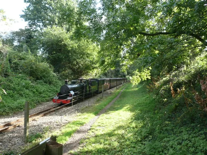
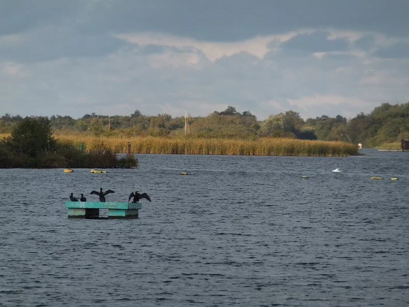
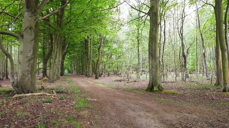
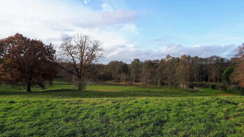
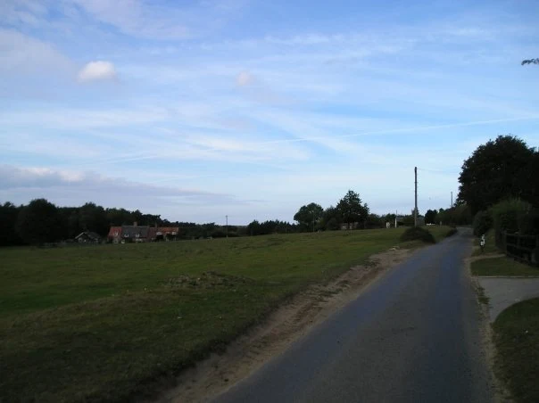
A 9 mile walk along Norfolk's Bure Valley Path between Aylsham and Wroxham

The Bure Valley Path follows the former Great Eastern Railway trackbed alongside the Bure Valley Narrow Gauge Railway. There are outstanding views of the river Bure and stops on route at Brampton, Buxton and Coltishall. Being a former trackbed gives a well drained path so the route is suitable for all weathers.

Monday 28 February 2022

Saturday 29 December 2018

A Norfolk Broads Walk from Neatishead to Horning

Cormorants on Barton Broad

An easy 6 mile walk following the River Ant down to the Bure at Horning.

The Norfolk Broads are full of ghostly stories and this walk brings a few to life. From the spooky lights of Hoards Hole, encounters with Black Shuck and the curious transformation of Horning's riverside houses to Saxon days when it was just a grassy bank, there is plenty to reflect upon as one wanders the footpaths and quiet country lanes that make up this route. And maybe, who may tell, given the right conditions, you may even glimpse a spectral view from another dimension.

Sunday 24 January 2021

Bittern Line Walk - North Walsham to Wroxham

North Walsham woods, site of the Battle of North Walsham

An 11 mile walk linking the Bittern Line stations of North Walsham and Wroxham

A rewarding days walk through the Norfolk countryside that links the railway stations of North Walsham and Wroxham. The route passes across an historic battleground, through woodland, encountering picturesque hamlets and village churches along the way. The end section uses the Bure Valley Railway path that follows the narrow gauge steam railway past Coltishall and down to Wroxham station.

Sunday 5 January 2020

Wroxham to Norwich via Spixworth

View of the River Bure heading out of Wroxham

A 10 mile linear walk between Wroxham and Norwich

Walk linking the Bittern Railway Line stations of Wroxham and Norwich. The route cuts across to Spixworth using tracks and country lanes from where there is pedestrian access through to the centre of Norwich. Spixworth has an interesting history of folklore which is discussed in the features of this walk.

Wednesday 18 December 2019

Bure River Walk from Coltishall to Brampton

Buxton Mill

An easy and captivating walk along Norfolks River Bure

Not only does this walk provide some classic Norfolk scenery and historic features but it also traces the route said to be taken by the phantom carriage of Sir Thomas Boleyn in his annual act of penance for betraying his daughter Anne when she was sentenced to be executed. The walk is then made into a circular route by returning via the Bure Valley Path alongside the narrow gauge Bure Valley railway.

Saturday 29 December 2018

Weavers Way - North Walsham to Cromer

Hanworth Common late on an autumn afternoon urging us to keep up the pace to get to Cromer before the light fades

A 23 mile walk along the Weavers Way from North Walsham to Cromer

Starting along the old M&GN railway trackbed to Aylsham, the path soon heads off across country passing by the Halls at Blickling, Felbrigg and Cromer as well winding its way through the picturesque villages of Aldborough, Hanworth and Sustead. A fascinating view of Norfolk's countryside.

Wednesday 27 November 2019

A Hike along the Marriotts Way

Sculpture that marks the start of the Marriotts Way at Norwich

The Marriott's Way links Aylsham and Norwich following the former trackbed of the Midland and Great Northern Railway.

The Marriott's Way is a footpath, bridleway and cycle route, which follows the routes of two disused railway lines, and runs between the historic market town of Aylsham and the medieval city of Norwich. Along with the mileage markers which are created from old rails complete with a metal rubbing plaque, there are numerous concrete sculptures, village markers, interactive sound boxes and benches which all provide added interest and information along the route.

Walk Summaries

Latest walk summaries are basic information sheets for walks that have yet to be fully documented. These provide links to maps, public transport and walks stats, although detailed notes and features are not included.

Latest Walk Summaries

Featured Walk

In Search of Sizewell Chapel

A 10 mile walk following the southern side of the parish boundary of Leiston in Suffolk This walk follows the route of a 17th century peramb...

What is GPX

All you need to know about GPX, electronic mapping and how to use modern apps and mobile devices as navigation devices

Popular Walks

Maps