Knebworth Circular Walk
Tuesday, 8 January 2019
|
No comments
|
![]()

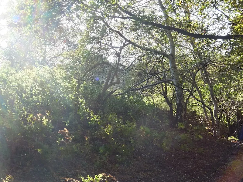
A 5 mile around Knebworth taking in Rabley Heath nature reserve
A short circular walk that includes a section through woodland of Rabley Heath Nature Reserve. Refreshments can be found at The Robin Hood and The Lytton Arms which has a large selection of real ales.

Walk Statistics
- Start location: Knebworth
- Distance: miles ( km)
- Total Gain: ft ( metre)
- Total Descent: ft ( metre)
- Min Height: ft ( metre)
- Max Height: ft ( metre)
- Est. Walk Time:
- Walk type: Circular
- Walk Grade: Easy
- Terrain:

Maps
The following maps and services can assist in navigating this route. There are links to printed maps and links to downloadable GPX route data for importing into navigational software and apps.
- Ordnance Survey Explorer Map
- OS Explorer 193 - Luton & Stevenage
- GPX Route File
Walk Notes
80th Birthday Handicap Race
This walk was instigated by a family occasion, my fathers 80's birthday to be specific. The walk was a precursor to a meal and an evening of ale supping at the Lytton Arms to celebrate this unique occurrence. The word 'Walk' is probably not quite the correct idiom as it was organized as a Handicap Race in which all contestants had to navigate around the route by whatever locomotion they favoured and the winner would be the person to complete the route at the specified end time. Each contestant was free to choose their start time and pub stops could be included.
This worked incredibly well with jogging, outright running, gentle strolling and the traditional pub-crawl all being methods to navigate the route. The art was to precisely estimate ones own rate of progress which everyone appeared to be remarkable adept at with every family member completing the course at the A1 bridge within minutes of each other. I am not sure who won, whether it was my sister Helen or my brother Stephen. It's not the competition that counts but the taking part. And I love taking part in a traditional old pub crawl!
The route we took was as per the directions listed below though we then walked up Park Lane to the Lytton Arms rather than take the footpaths as we were then dressed for this special occasion. However the field route has been walked previously and is a worthy contender to get to the Lytton Arms.
Amusing thoughts
In the Gents toilet of the Robin Hood were several A4 sheets of paper pinned to the walls each item containing amusing stories each of which was entitled with the phrase 'Idiot Spotting'. I assume these had been garnered from locals tales and local press cuttings and it is worth reiterating a few of these here:
First up is a story from South Oxhey, Herts
My daughter went to a local Kentucky Fried Chicken and ordered a Taco. She asked the person behind the counter for 'minimal lettuce'. He said he was sorry, but they only had the Iceberg Lettuce
Another reputedly comes from a council employee in Harrow, Middlesex which quotes
The traffic light on the corner buzzes when the lights turn red and it is safe to cross the road. I was crossing with an intellectually challenged friend of mine. She asked if I knew what the buzzer was for. I explained that it signals blind people when the light is red. Appalled, she responded 'what on earth are blind people doing driving?'
Even more comical is a story encountered at a Ford dealer in St Albans
When my husband and I arrived at our local Ford Dealer to pick up our car we were told the keys had been locked in it. We went to the service department and found a mechanic working feverishly to unlock the river's door. As I watched from the passenger side, I instinctively tried the door handle and discovered it was unlocked. 'Hey; I announced to the Fitter/Mechanic, 'it's open'. His reply: 'I know, I already did that side'
Amazing what one can find when one wants a pee!
Directions
Simple walk starting and ending in Knebworth village and taking in the woodlands of Mardley Heath
Circular Route
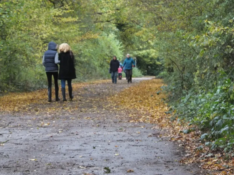
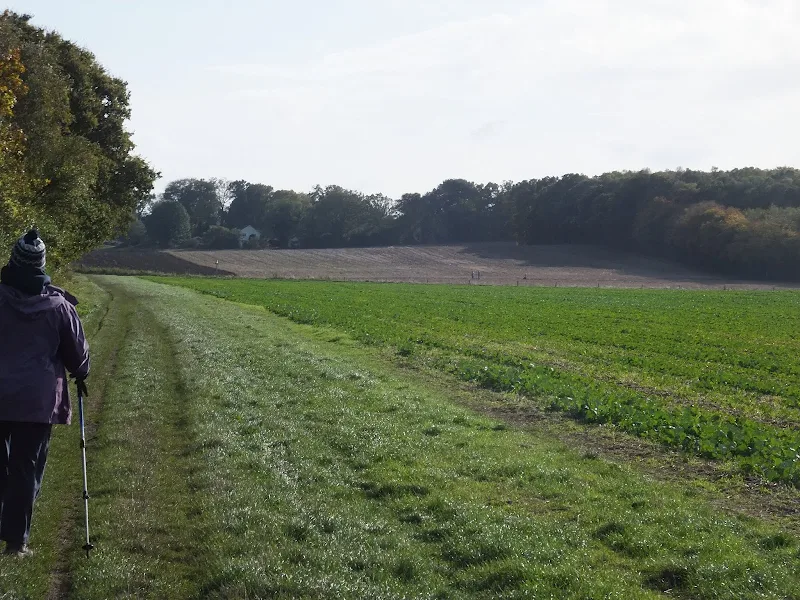
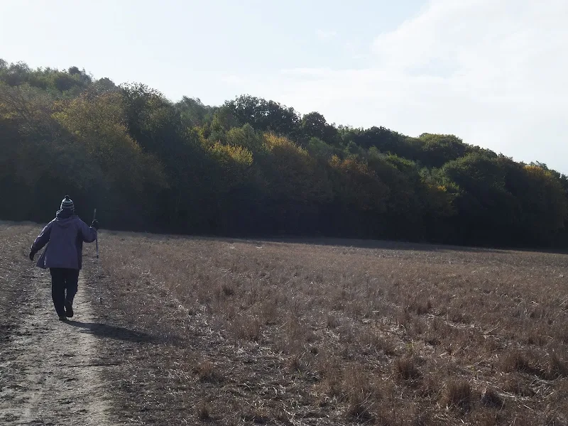
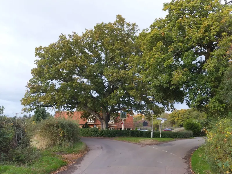
Head downhill along Station Road and turn right into Lytton Fields. Follow the road around to the T-junction and turn left. Turn right at the junction at the bottom of the road into Gun Lane and follow this through to the bridge under the railway. Do not go under the railway, instead take the footpath down the side of the embankment. Keep to the footpath until it meets Wych Elm Lane. Cross the road and follow the footpath across the fields and up to the woodland. Keep to the path that follows the perimeter of the woodland then follow the blue route through to the bridge under the A1 road. Keep to the lane up to the road. turn left then turn first right. As the road bends to the right the Robin Hood pub is on the corner.
Continue past the pub and follow the road past the houses on the right where there is a public footpath before the last two houses. Take this which leads through to Park Lane. Turn right to return to the start point
Extension to Old Knebworth
On the ;last stage toward Park Lane, there is a public footpath across the fields on the right. Take this and where is meets another path turn right and then left on the next meeting of paths which leads out to the Lytton Arms pub. From the pub turn right and follow the road through to the start point.
Pubs
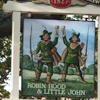
The Robin Hood and Little John, Codicote View in OS Map | View in Google Map
- Address
- Rabley Heath Road, Codicote
- Website
- https://www.robinhoodandlittlejohnpub.co.uk/
A timber framed building dating from the 17th century and set in a picturesque rural location. The pub boasts original wood beams, open log fires, stunning gardens, paddocks and a patio area.
Food is available with the menu created from traditional fresh and local produce. Walkers and Cyclists welcome along with dogs and even a place to tether ones horse. The ale is supplied by McMullens Brewery with guest ales available.
The pub looked pretty full as we pushed through into the tiny but cosy bar. The small bar-top boasted two beer pumps which had a simple selection of McMullens standard and Country Bitters on offer. Without thinking I immediately plumped for the Country Bitter. This is a lesson to be learnt, never order in haste for having sat down it was soon became apparent that there was an additional two guest ales on offer although the pumps were not in this bar. There was nothing wrong with the country bitter, a nutty tasting ale but maybe if I had seen the others on offer I may have opted for something different or at least weighed up the choice.
The Lytton Arms, Old Knebworth View in OS Map | View in Google Map

- Address
- Park Lane, Old Knebworth
- Website
- www.lyttonarms.co.uk/
The Lytton Arms was designed by Sir Edwin Lutyens, a brother-in-law of Lord Lytton and built around 1877 replacing the previous Inn, now a private residence next door. Originally built for Hawkes and Company of Bishop's Stortford, it was taken over by Benskins of Watford in 1898. The original Hawkes and Company logo may still be seen in the wrought ironwork of the pub sign outside, believed to be the last artifact of this brewery.
The pub is renowned for its ever changing variety of real ales with 10 always available plus a selection of Real ciders. Home cooked food made from local fresh produce is on offer ranging from bar snacks to three course meals plus traditional Sunday roasts
One cant fault the selection of ales that are on offer at this fine establishment. Ten ales including offerings from Mauldons, Mighty Oak, York and Tring breweries excellently named Side Pocket for a Toad which was very drinkable as was the Mauldon Gold. Top marks and well recommended for all ale drinkers. An ale drinkers heaven!
Features
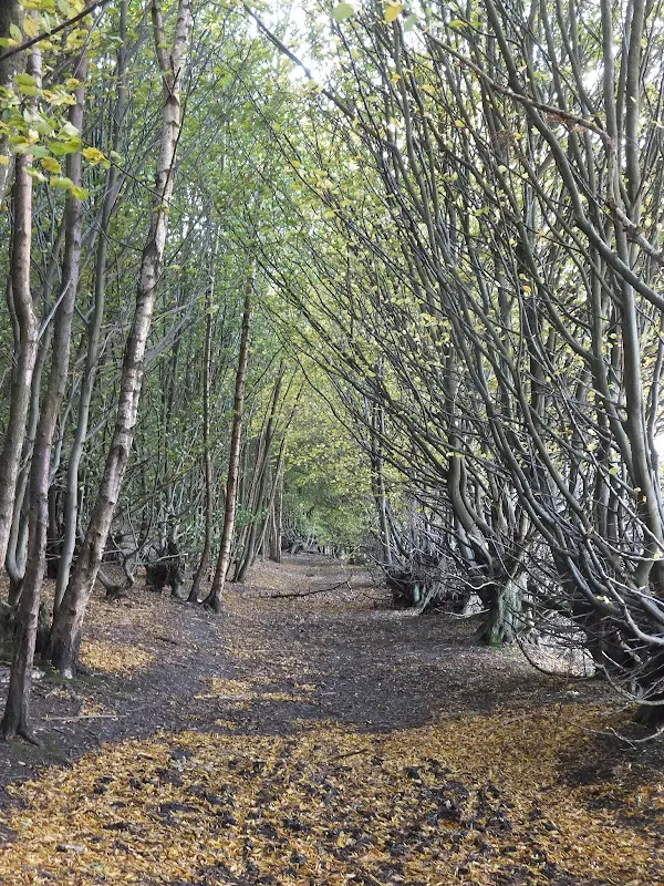
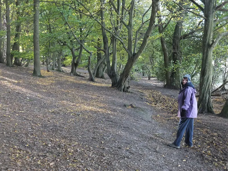
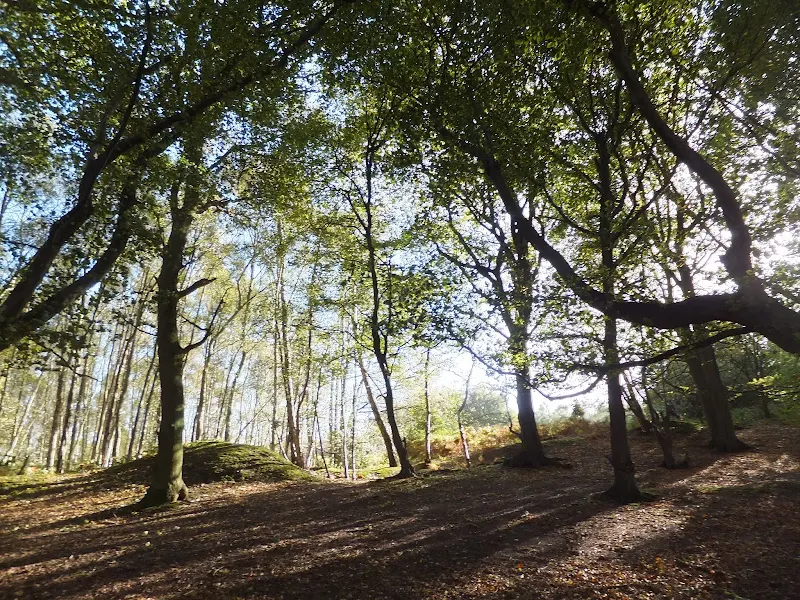
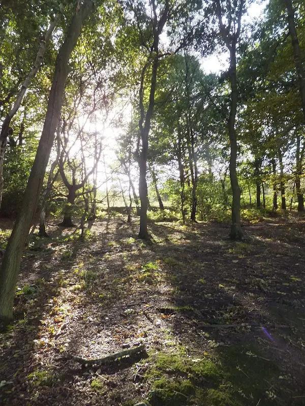
Mardley HeathView in OS Map | View in Google Map
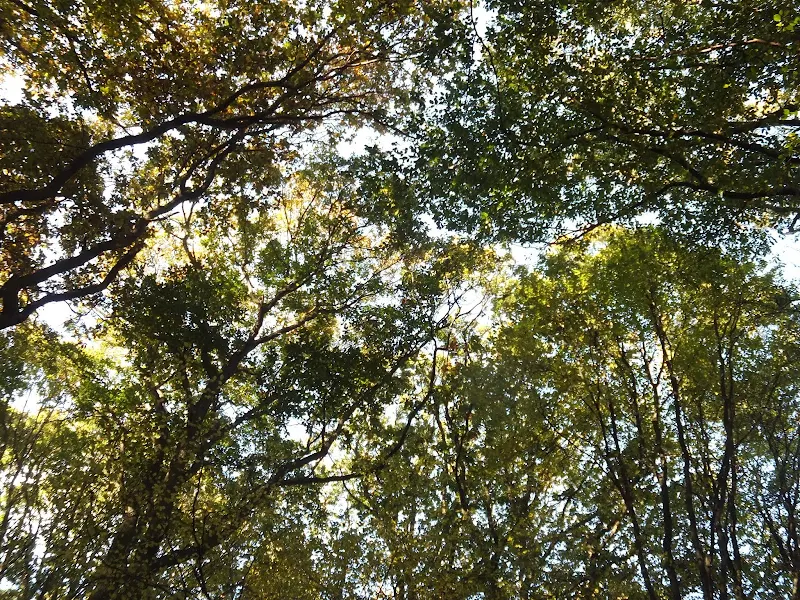
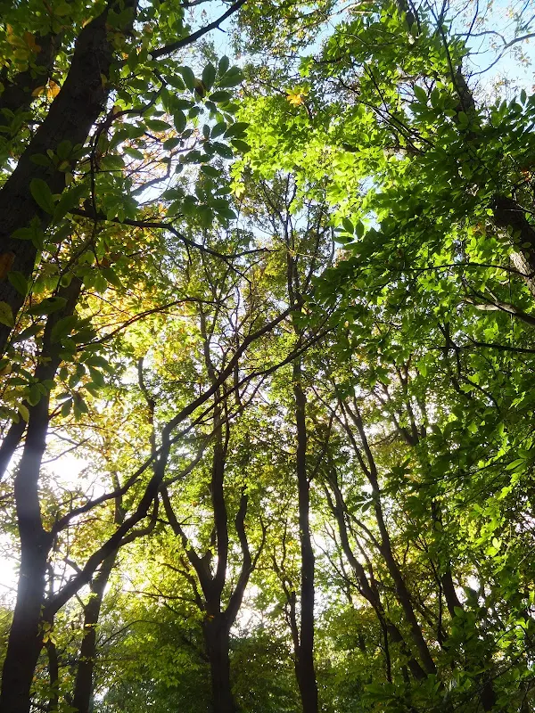
The area known as Mardley Heath is a collection of former gravel pits, traditional heathland, ponds and woodland. This was common land during Medieval times and was used for grazing livestock with the woodland being the source for fuel and bedding for animals. Most of the common land was enclosed by the mid 19th century and this was the area was planted with oak, sweet chestnut and hornbeam which was commercially grown and managed to its timber and charcoal.
Between the 1930's and 1960's sections of the heath were bought up for gravel extraction resulting in several large pits. With the extraction complete, the local council acquired the land for public recreation.
Areas of the woodland have been named with exquisite titles such as Ninnings Wood, Aunt Wood, Brokers Garden Wood and Legs and Stockings Wood. It is uncertain exactly where and why these names have been used.
Knebworth Lodge Phantom TankView in OS Map | View in Google Map
According to the Luton Paranormal Website a ghostly Second World War tank has been seen driving from Knebworth Lodge along the road to Old Knebworth and Codicote. A soldier wearing a steel helmet stands in the turret frantically gesturing everyone to clear the road and take cover as if an air raid was in progress.
A curious tale but there is no reference to whom has witnessed this modern phantom, or any other accounts of similar sightings.
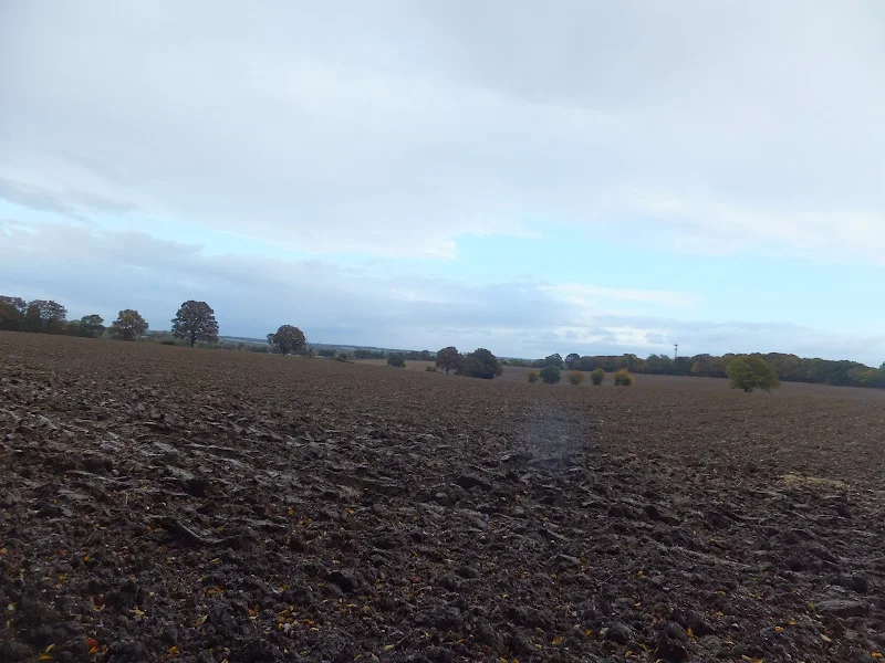
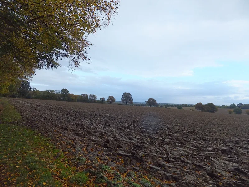
Image Gallery


Route Validation Cards
Validation Date - 2012-10-27
- Time of Walk: 14:00 to 16:30
- Validators: Griffmonster, Kat
- Weather Conditions: Overcast with the threat of rain throughout the afternoon
- Notes: Initial route undertaken
Summary of Document Changes
Last Updated: 2026-04-20
- 2013-05-08 : Initial publication
- 2017-02-05 : General website updates
- 2019-01-08 : General website updates
- 2021-03-17 : Update website improvements and removal of ViewRanger reliance
- 2021-12-01 : Removal of ViewRanger links due to its imminent demise
- 2026-01-12 : Major website update with all walks recast to the new format


0 comments:
Post a Comment