Route details, maps, pubs, features, local history and folklore for a wide variety of walks focusing primarily on Norfolk and Suffolk

OSmap:OL9 Walks
Showing posts with label OSmap:OL9. Show all posts

Saturday 5 February 2022

Heddon Valley Circular Walk

Heddon Valley Circular Walk

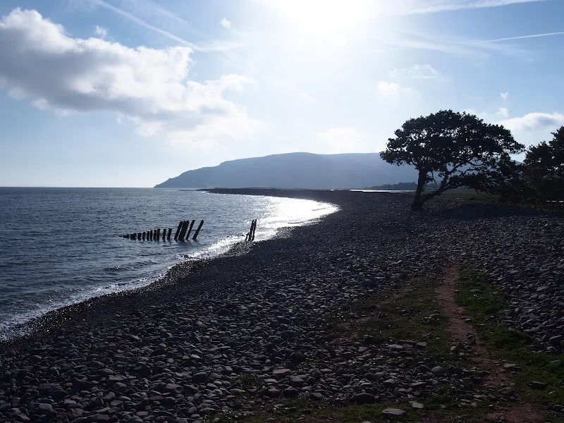
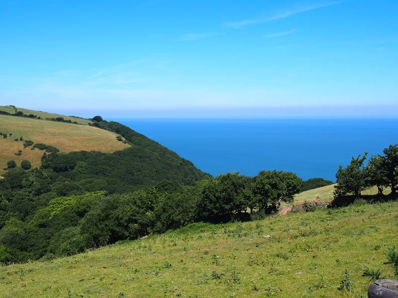
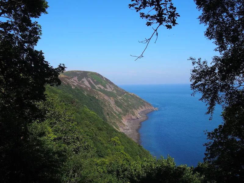
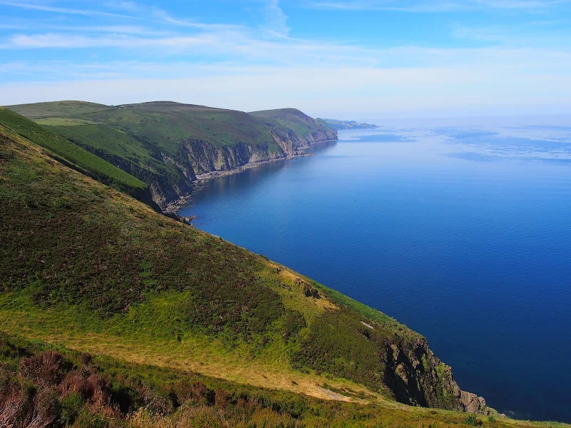
An amazing walk full of spectacular views along this rugged part of the North Devon coast

An amazing walk that heads down the Heddon Valley to follow the South West Coast Path through to Woody Bay. Return is along the track at the top of the cliffs. Amazing views and outstanding scenery. There is the option of going down to Heddon Mouth where the Heddon river meets the sea.<br><br>Refreshments can be found at the Hunters Inn which marks the start and end of this walk

Thursday 19 July 2018

Porlock Weir to Minehead Walk Summary

Salt marsh

A 9 mile walk along the SWCP between Porlock Weir and Minehead

Walking in an anti-clockwise direction, this walk marks the end to the South West Coast Path. There are no gold embossed certificates handed out, no congratulating parades to cheer the triumphant walker across the finishing line, or national media around to film the completion of this mammoth 630 mile trek. Just a sculpture of a pair of hands holding an OS map and a self-satisfying sense of achievement with a hint of sadness that the trail is over and another challenge must be sought... or maybe turn around and do it all again in the opposite direction!

Wednesday 18 July 2018

Porlock Weir to County Gate Walk Summary

Salt marsh

A simple 6 mile walk from Porlock Weir to County Gate Car Park

The walk navigates along the higher SWCP route through to Wheatham Combe from where the County Gate car park can be reached along bridleways. This route has the advantage of some fantastic views over the coast as opposed to the lower route through the wooded lower reaches of the cliffs. This walk does need the assistance of a friend or acquaintance to provide a return journey between the two ends of the walk, alternatively the walk can use the lower SWCP to make a circular route.

Tuesday 17 July 2018

County Gate to Lynmouth Circular Walk Summary

Salt marsh

Circular walk linking the County Gate car park and Lynmouth

There is no public transport between Porlock and Lynmouth, therefore a days linear walk is not possible if one requires to return to the start. This walk uses a mid-point of the County Gate car park, located on Exmoor, to provide a circular route using the SWCP and Coleridge Way. The SWCP section is not too strenuous and provides some amazing coastal views whilst the Coleridge Way makes a very pleasant ramble alongside the East Lyn River to return to the County Gate

Tuesday 10 July 2018

Combe Martin to Lynmouth Walk Summary

Salt marsh

Strenuous walk from Combe Martin to Lynmouth passing over the highest point on the SWCP

A strenuous walk between Combe Martin and Lynmouth passing over Great Hangman which at 319m is the highest point on the SWCP. This specific route provides an alternative to the official SWCP path out of the Heddon Valley which does reduce the distance slightly. This does give an advantage if one needs to return to the start using public transport as there is only a limited bus survice back to Combe Martin which involves having to travel via Barnstaple.

Friday 6 July 2018

Hele Bay to Combe Martin Walk Summary

Salt marsh

Short Walk along the SWCP between Hele Bay near Ilfracombe and Combe Martin

This walk offers a few challenges but nothing untoward and is probably one of the best routes to introduce anyone to the SWCP. The views are outstanding and the numerous coves and small beaches tempting to spend a little more time in exploring. A very popular area with frequent transport links and plenty of refreshment options along the route.

Walk Summaries

Latest walk summaries are basic information sheets for walks that have yet to be fully documented. These provide links to maps, public transport and walks stats, although detailed notes and features are not included.

Latest Walk Summaries

Featured Walk

In Search of Sizewell Chapel

A 10 mile walk following the southern side of the parish boundary of Leiston in Suffolk This walk follows the route of a 17th century peramb...

What is GPX

All you need to know about GPX, electronic mapping and how to use modern apps and mobile devices as navigation devices

Popular Walks

Maps