Route details, maps, pubs, features, local history and folklore for a wide variety of walks focusing primarily on Norfolk and Suffolk

Suffolk Coast Path Walks
Showing posts with label Suffolk Coast Path. Show all posts

Thursday 7 May 2015

Aldeburghs Martello Tower Now Boasts an Anthony Gormley Sculpture

Martello Tower

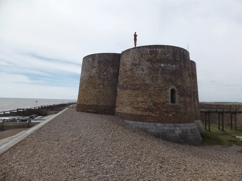
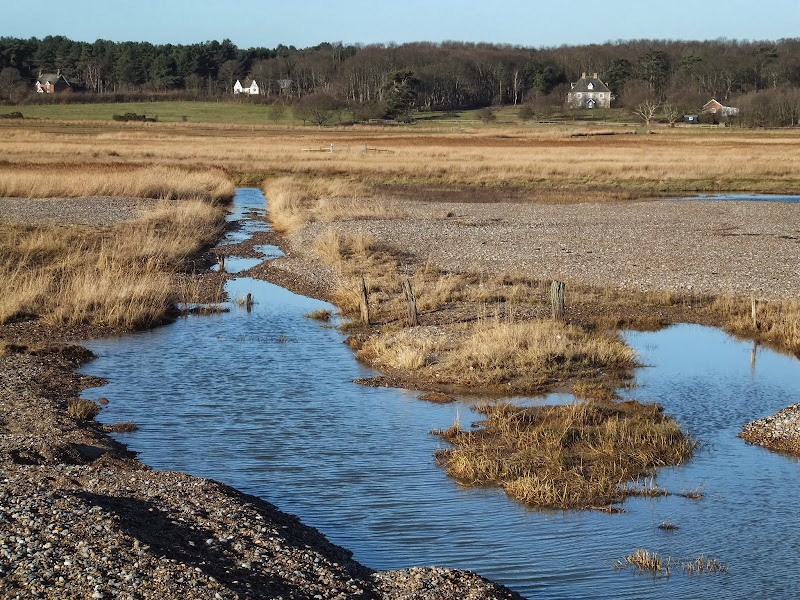
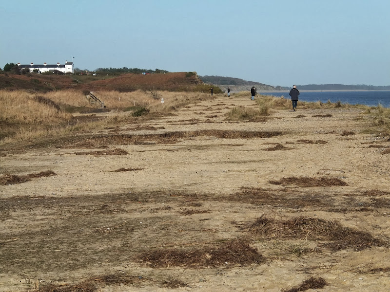
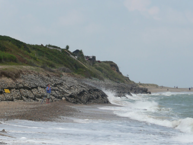
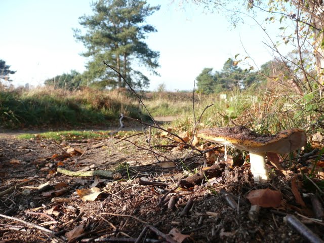
A 7 mile walk from Thorpeness to Aldeburghs Martello Tower

For a period of 12 months starting in May 2015, a life size sculpture of a human figure will look out across the sea atop Aldeburghs Martello Tower. This is the work of Anthony Gormley, the artist who is renowned for creating the iconic Angel of the North sculpture, and is part of the celebrations to mark 50 years of the Landmark Trust.

Friday 17 January 2014

The Aftermath of the 2013 Storm Surge Dunwich to Walberswick

Floods and dykes at Dingle Marsh

A 8 mile beach walk to witness the damage caused by the 2013 Storm Surge

The December 2013 Storm Surge caused widespread flooding of the marshes between Dunwich and Walberswick and along the Blyth estuary, closing the main A12 road at Blythburgh for three days. With most of the waters receded, this was the first opportunity to witness the damage caused to this vulnerable section of coastal marsh. Damage to the boardwalks and bridges have currently blocked access along the Suffolk Coast Path although the Beach Route is still accessible providing the tide is right.

Sunday 22 December 2013

The Aftermath of the 2013 Storm Surge at Minsmere

Flattened dunes by the Northern Sea Wall to Minsmere

A 10 mile circular walk to witness the damage caused by the 2013 Storm Surge

The 2013 Storm Surge proved to be the highest tide in 60 years. Although much of the flooding had recede the evidence remained of where the waters reached. Viewing the changes in coastline shows just how vulnerable this stretch of the Suffolk coast really is, especially in view of the fact that such storms appear to be increasing in frequency. The walk returns through the heath and forest via Dunwich Heath and Eastbridge where the results of Octobers St Jude storm are evident from the many fallen trees.

Tuesday 1 January 2013

Coastal Erosion at Thorpeness

Erosion at Thorpeness

A circular walk from Sizewell to Thorpeness along the Suffolk Coast Path

In recent years the Suffolk Coast Path has been rerouted in-land from Sizewell across the commons to Thorpeness due to coastal erosion. The old coast route can still be walked when the tide is right and there is always an escape up the cliffs to Thorpeness Common just before the Thorpeness cliffs where the tide cuts off access to the beach.

Thursday 15 December 2011

Autumn on Thorpeness Common

A 6 mile circular walk across the commons of the East Suffolk Coastal area linking Leiston, Thorpeness and Sizewell.

Autumn on Thorpeness Common is a great time to hunt out mushrooms, harvest sloes and admire the changing of the seasons. I am not expert on mushrooms and certainly would not even dare to pick a wild mushroom to eat without specific advice from a fungi expert, nonetheless, it is always good to view them. The sloes are a different matter though, for a second year running we have gathered copious quantities of this bitter fruit in order to get some sloe gin ready for Christmas. There were so many this year we ended up giving much of our labours away!

Tuesday 3 May 2011

Sun, Sea, Beer and Chips

The White Hart Aldeburgh

A 13 mile circular walk from Leiston to the White Hart Beer Festival in Aldeburgh

Easter 2011 was a really warm and sunny occasion and what better way to spend a Good Friday and Easter Monday than a casual walk through to Aldeburgh where The White Hart pub was holding its 9th Annual Beer Festival. Over 30 ales from across the country plus a selection of real cider, this really had to have something for everyone.

Walk Summaries

Latest walk summaries are basic information sheets for walks that have yet to be fully documented. These provide links to maps, public transport and walks stats, although detailed notes and features are not included.

Latest Walk Summaries

Featured Walk

In Search of Sizewell Chapel

A 10 mile walk following the southern side of the parish boundary of Leiston in Suffolk This walk follows the route of a 17th century peramb...

What is GPX

All you need to know about GPX, electronic mapping and how to use modern apps and mobile devices as navigation devices

Popular Walks

Maps